Maramureș – Iezerul Mare
MM-016-Iezerul Mare (Tinovul Hărniceștilor) Wetland
General information
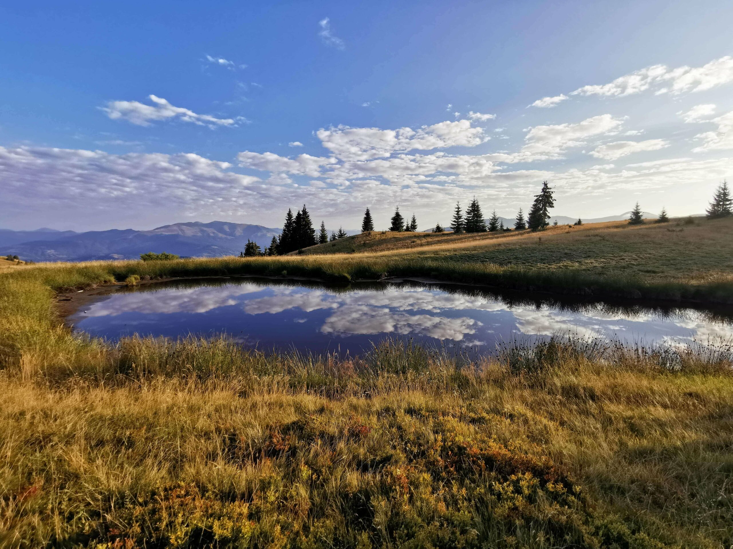
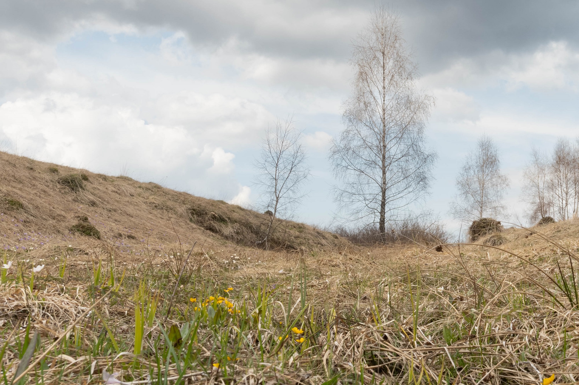
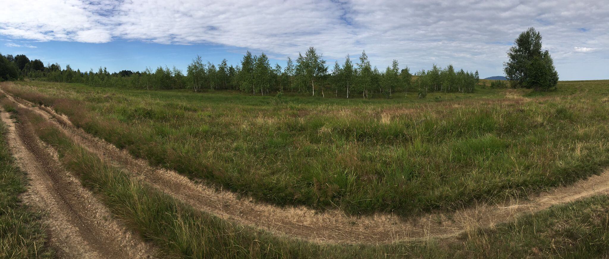
Tinovul Hărniceștilor is located at 1004 m, and included in the Igniș Mountains, and is located, administratively, in the commune of Desești, Maramureș county. From a biogeographical point of view, the ecosystem is integrated into the upper nonmoral level, the peatland being oligotrophic. The ecosystem area has 11.62 ha.
Restoration works
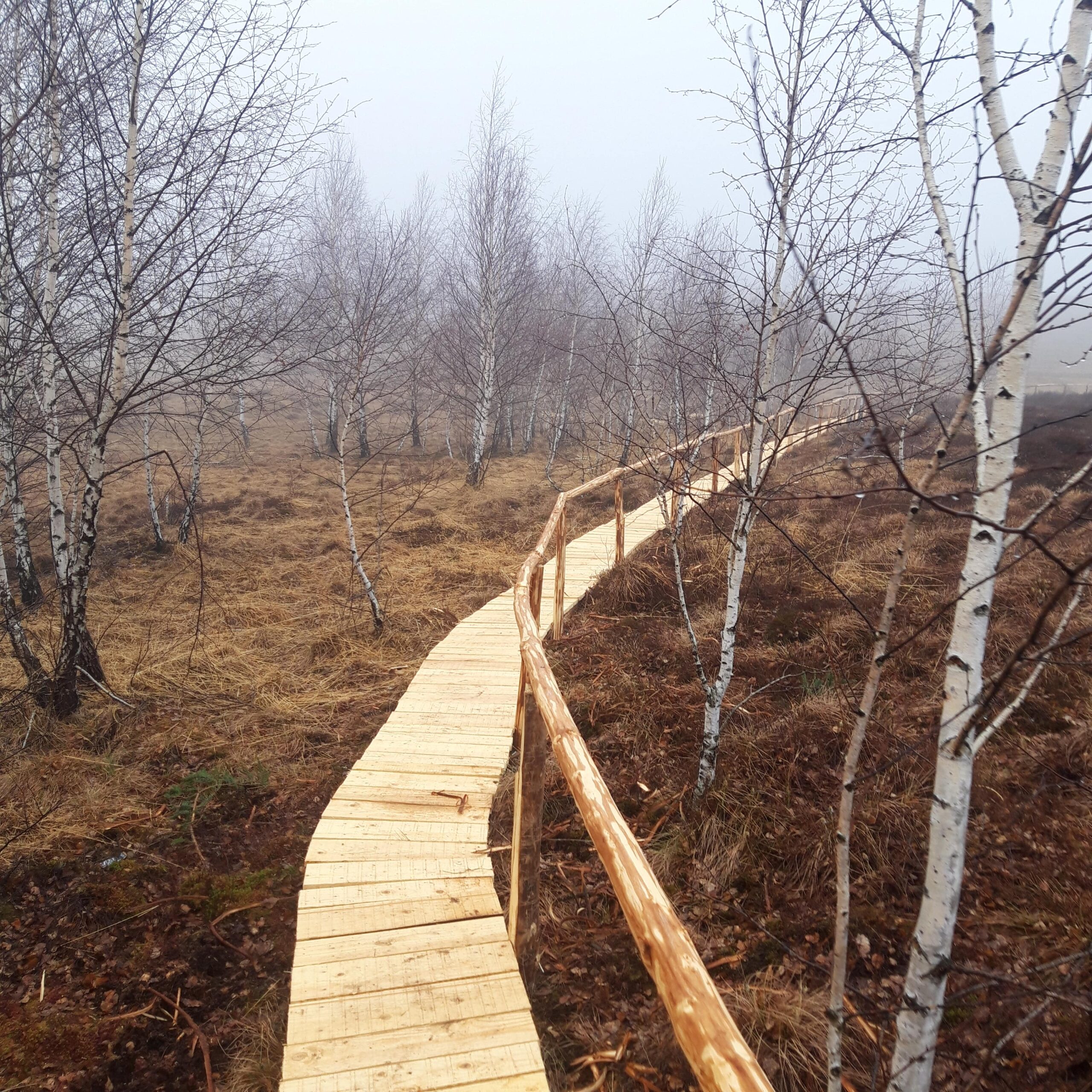
03.2024 – Iezerul Mare Peatland has all restoration works implemented, including:
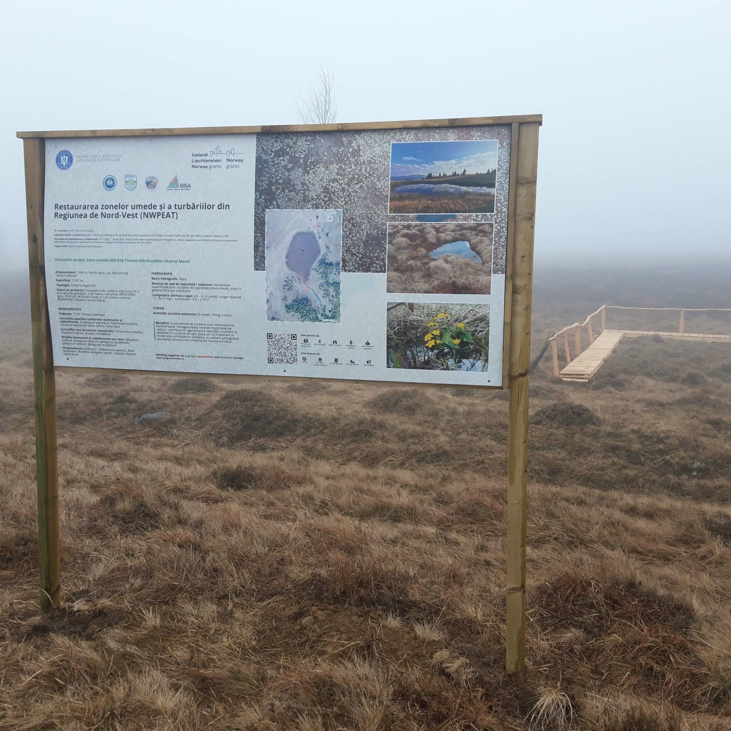
- installation of a billboard;
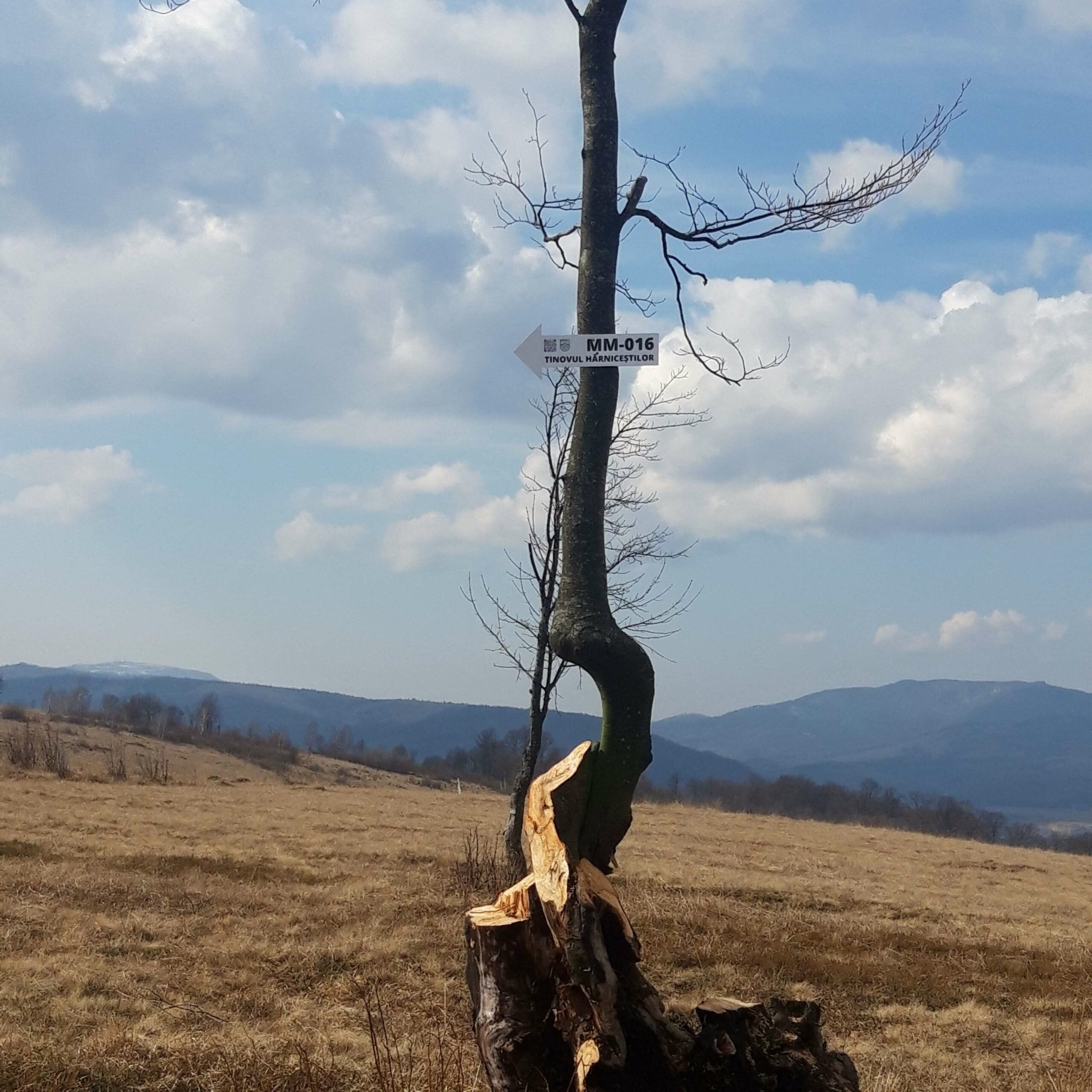
- placement of tourist signs;
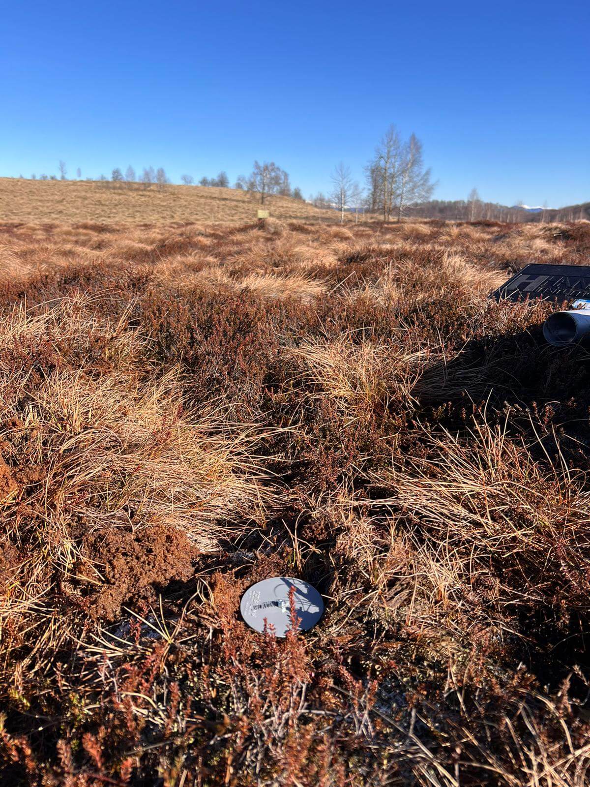
- installation of piezometers for monitoring water level fluctuations;
- creation of a boardwalk.
Creating promotional materials
2.2024 – In order to promote the peatland ecosystems associated with the NWPEAT project, several distinct informational and promotional materials have been created for each peatland. In this regard, Iezerul Mare Peatland has a digital brochure and a billboard that will be placed on-site.

Restoration scheme – Tinovul Hărniceștilor
25.02.2022 – In order to restore the functions of the peatland ecosystem MM-016-Iezerul Mare (Tinovul Hărniceștilor) it is envisaged to achieve an optimal hydrological balance and improve the state of the ecosystem. The main pressures affecting this wetland are intensive drainage and grazing.

Field documentation – Tinovul Hărniceștilor
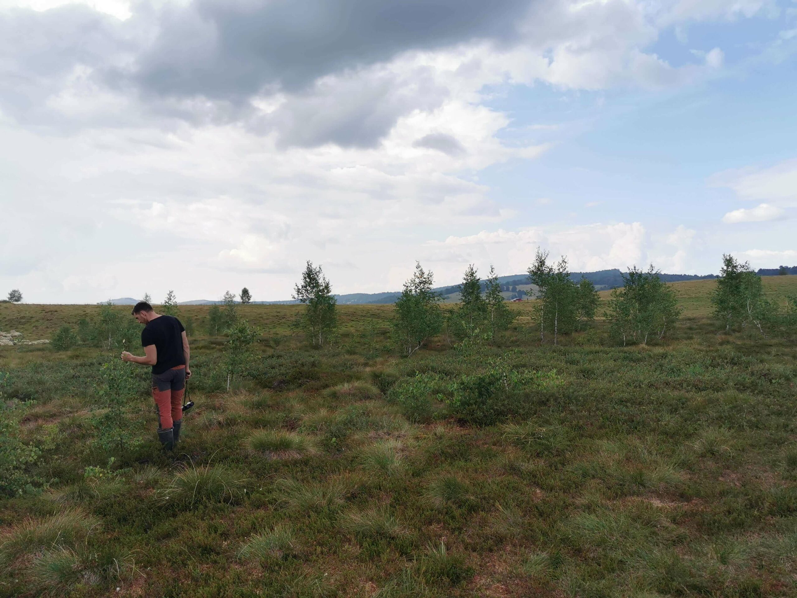
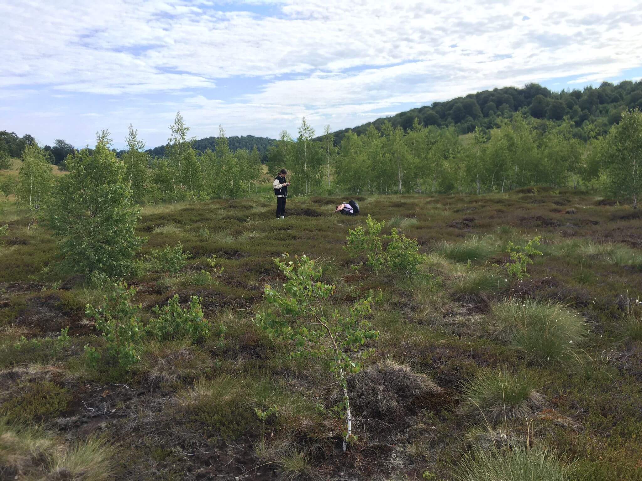
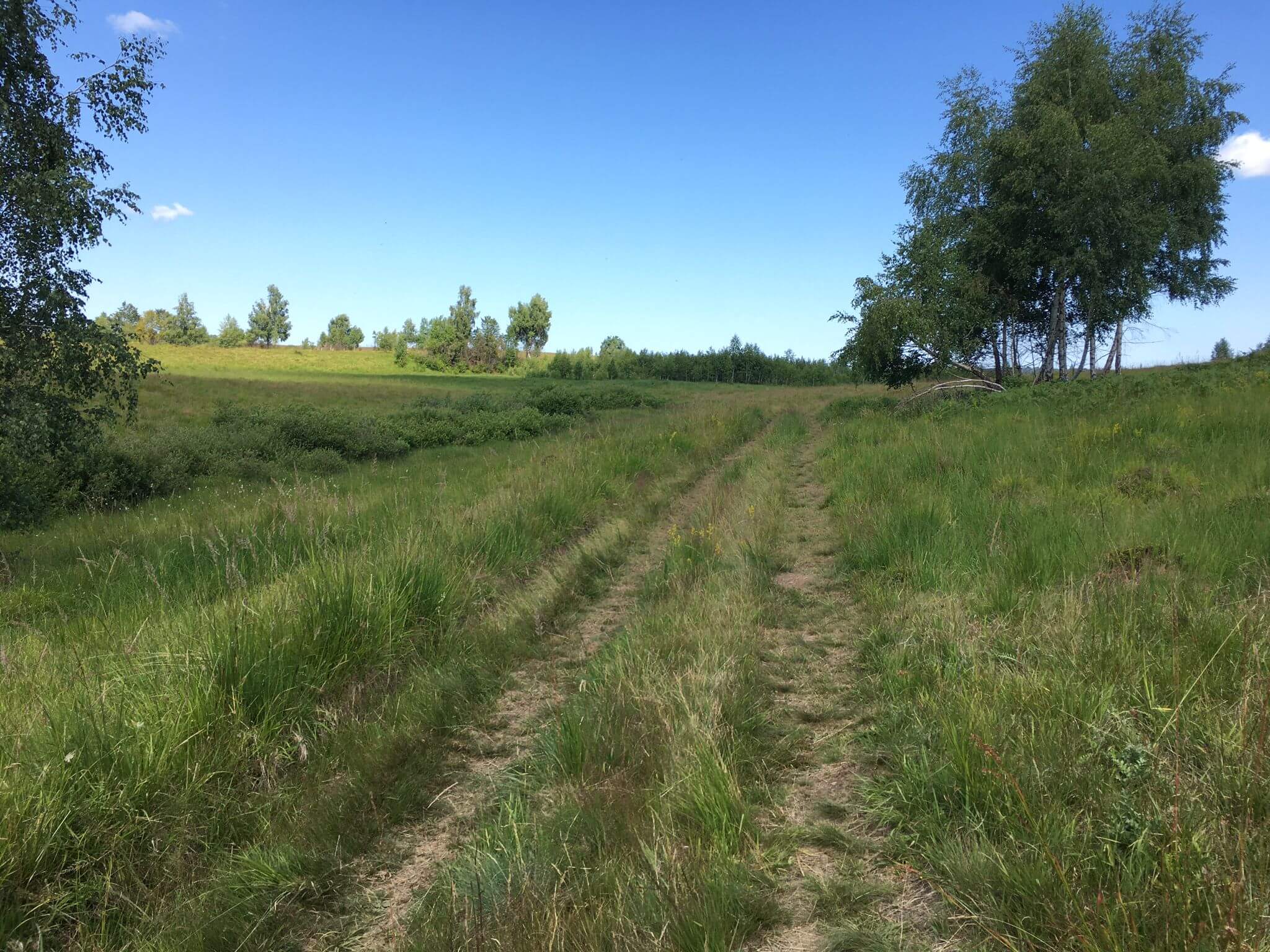
3.05.2022 – Tinovul Hărniceștilor offered another perspective for NWPEAT project team, much more accessible as a location, and at the same time, in a more accelerated state of degradation. The measures proposed by the restoration scheme were updated, water quality samples and photos were taken, particular species that are found at the time of field documentation were identified. Additionally, we had an aerial perspective through an aerial survey (with DJI Phantom 4).


Hydrological measurements – Tinovul Hărniceștilor
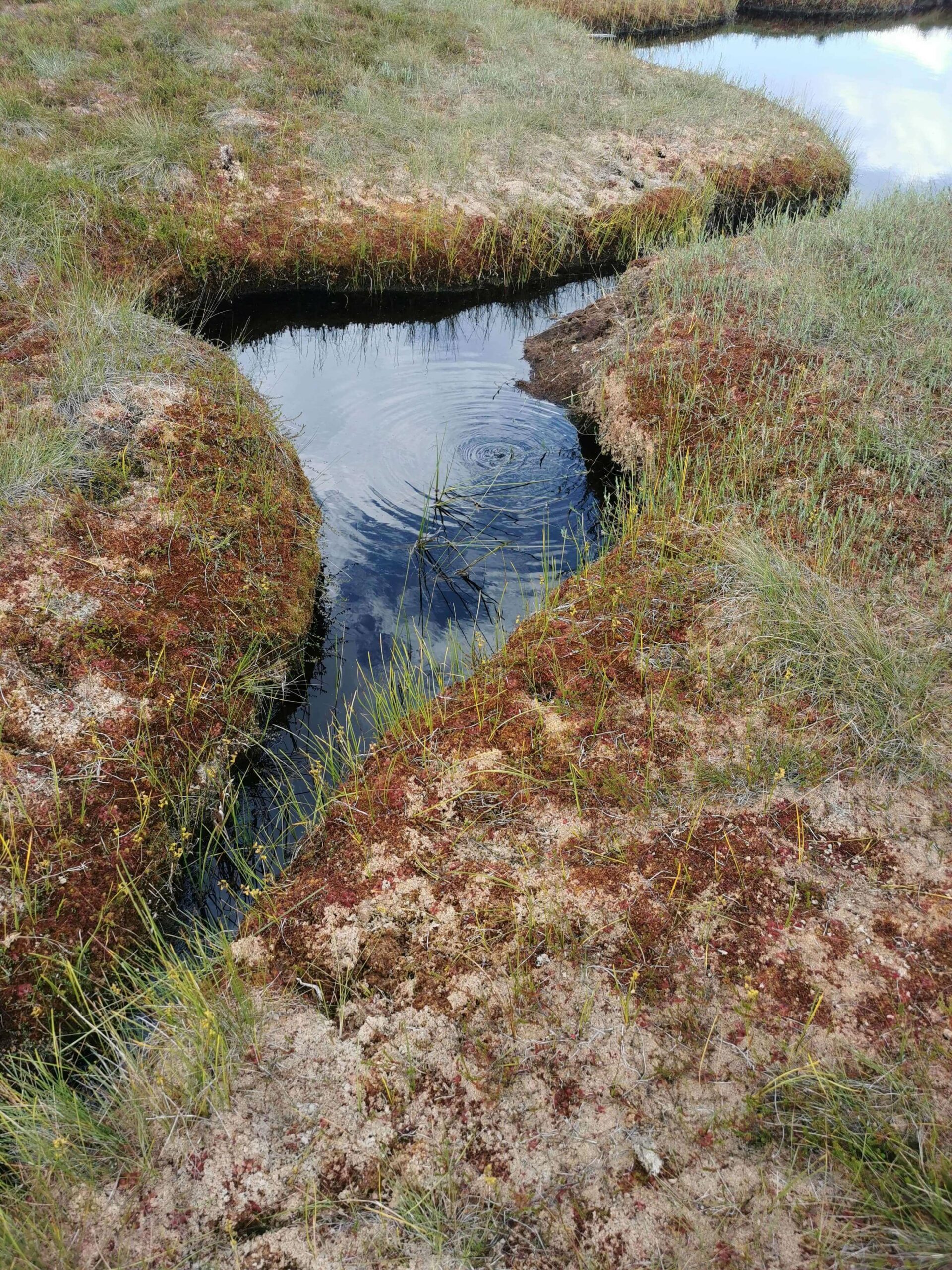
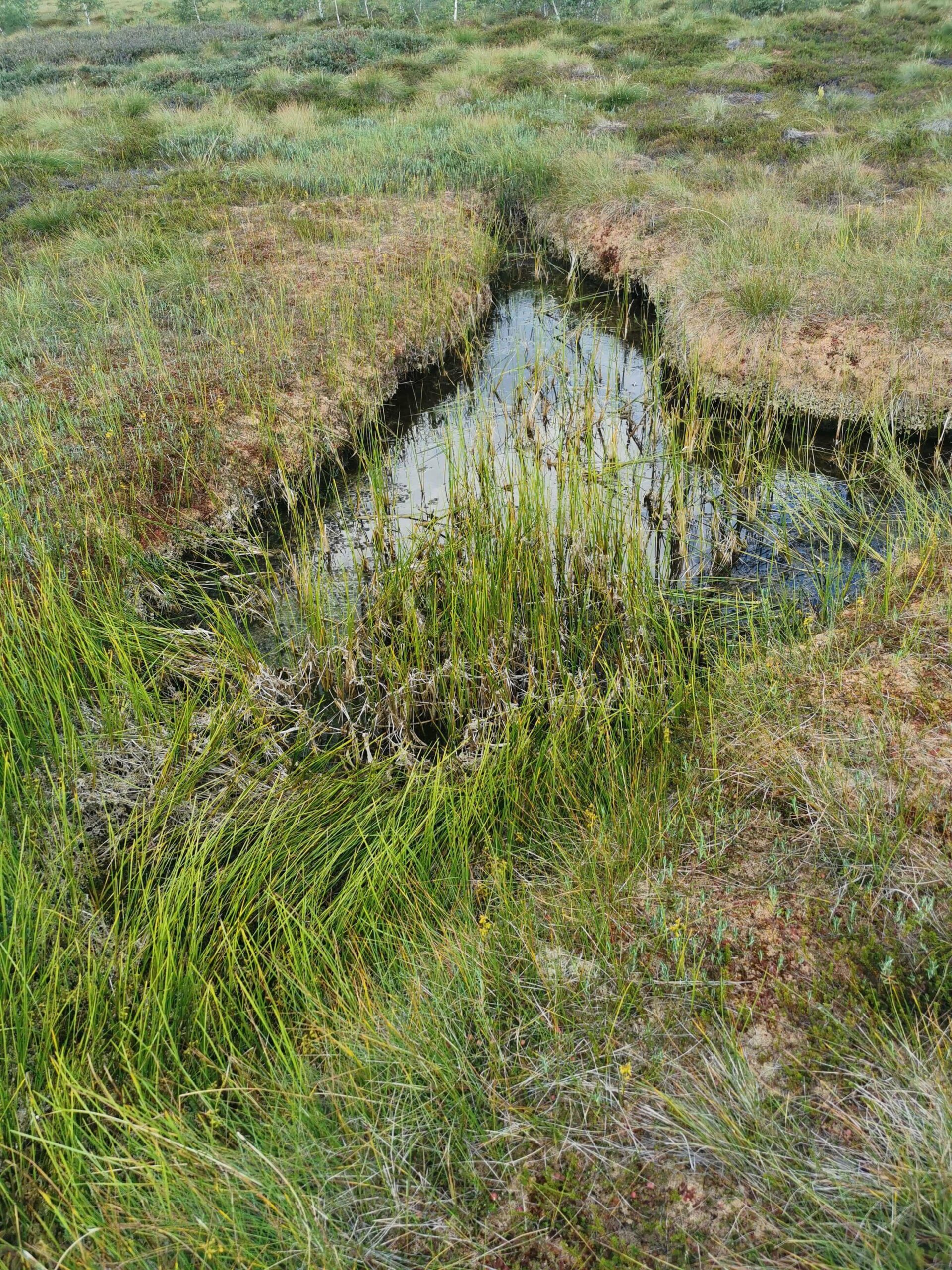
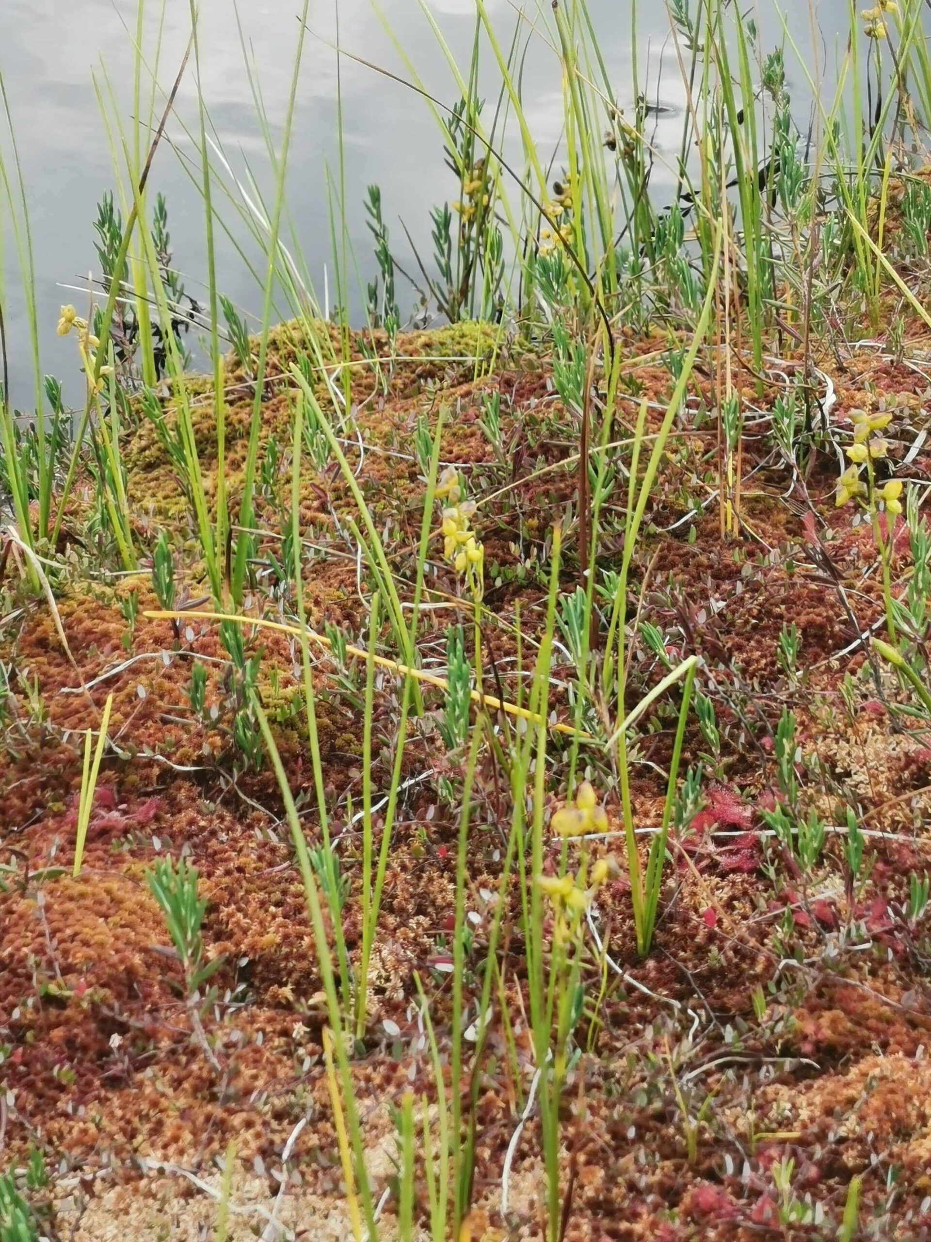
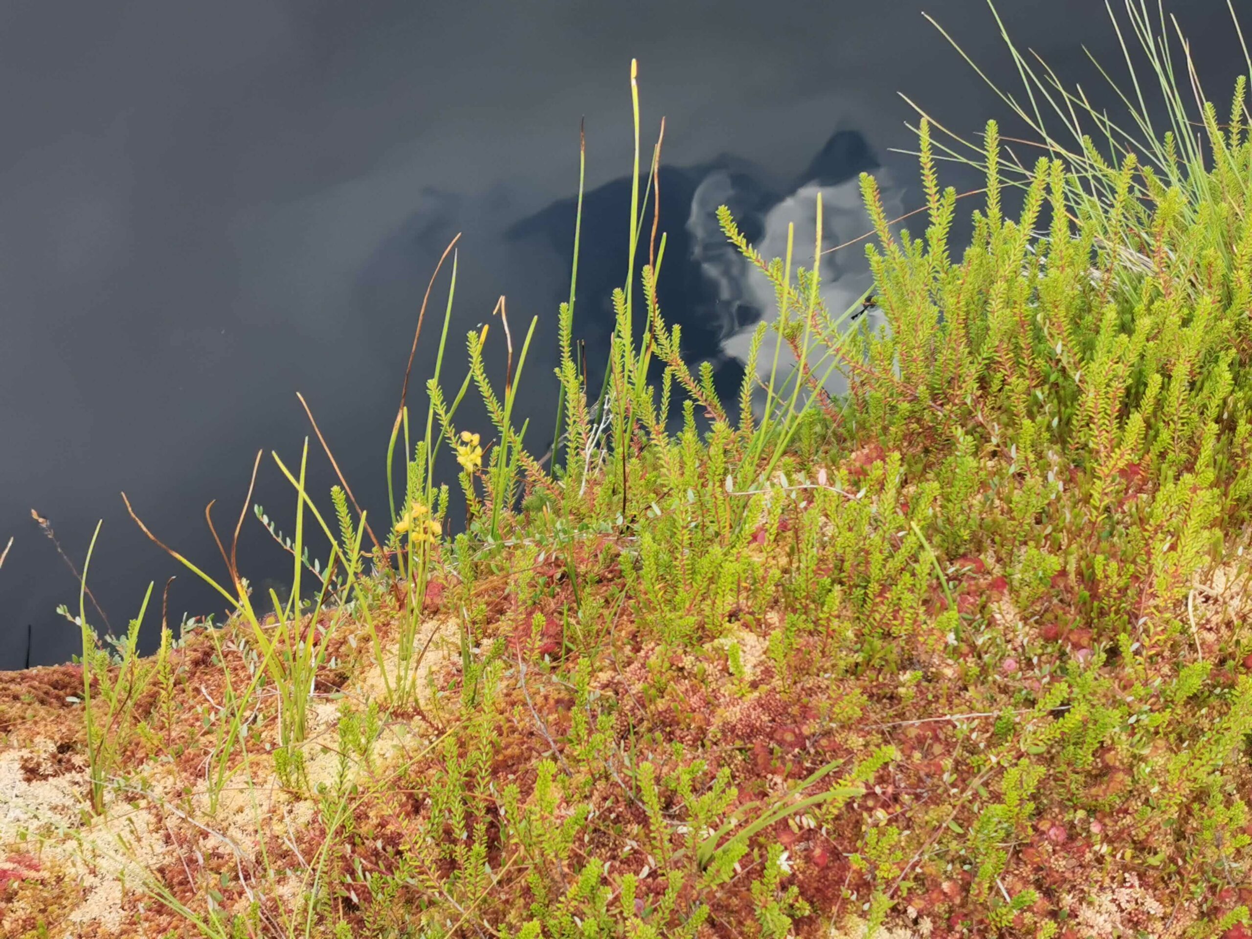
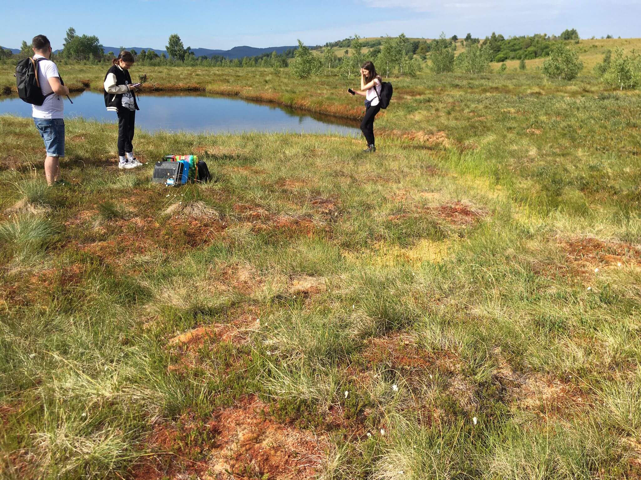
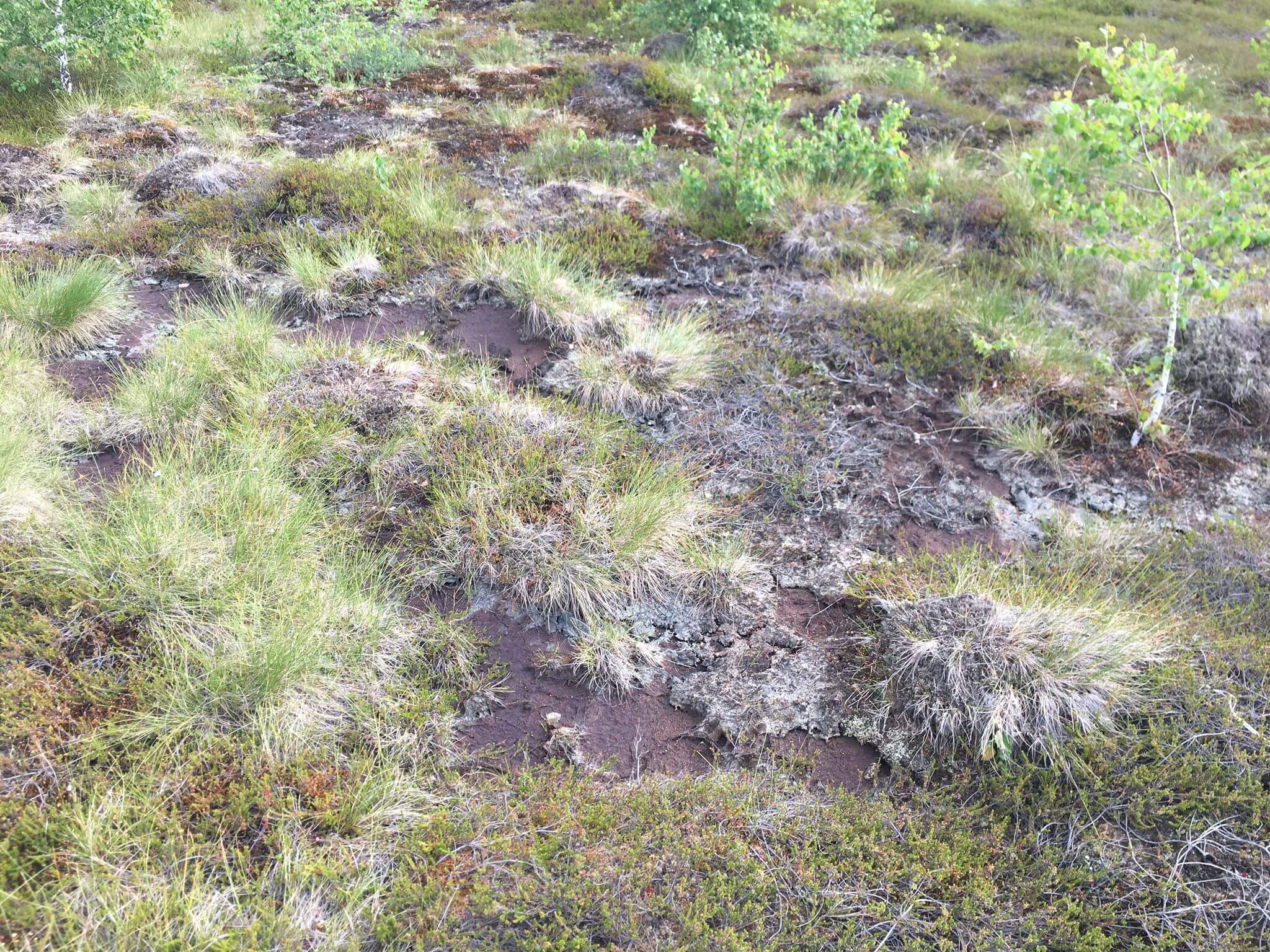
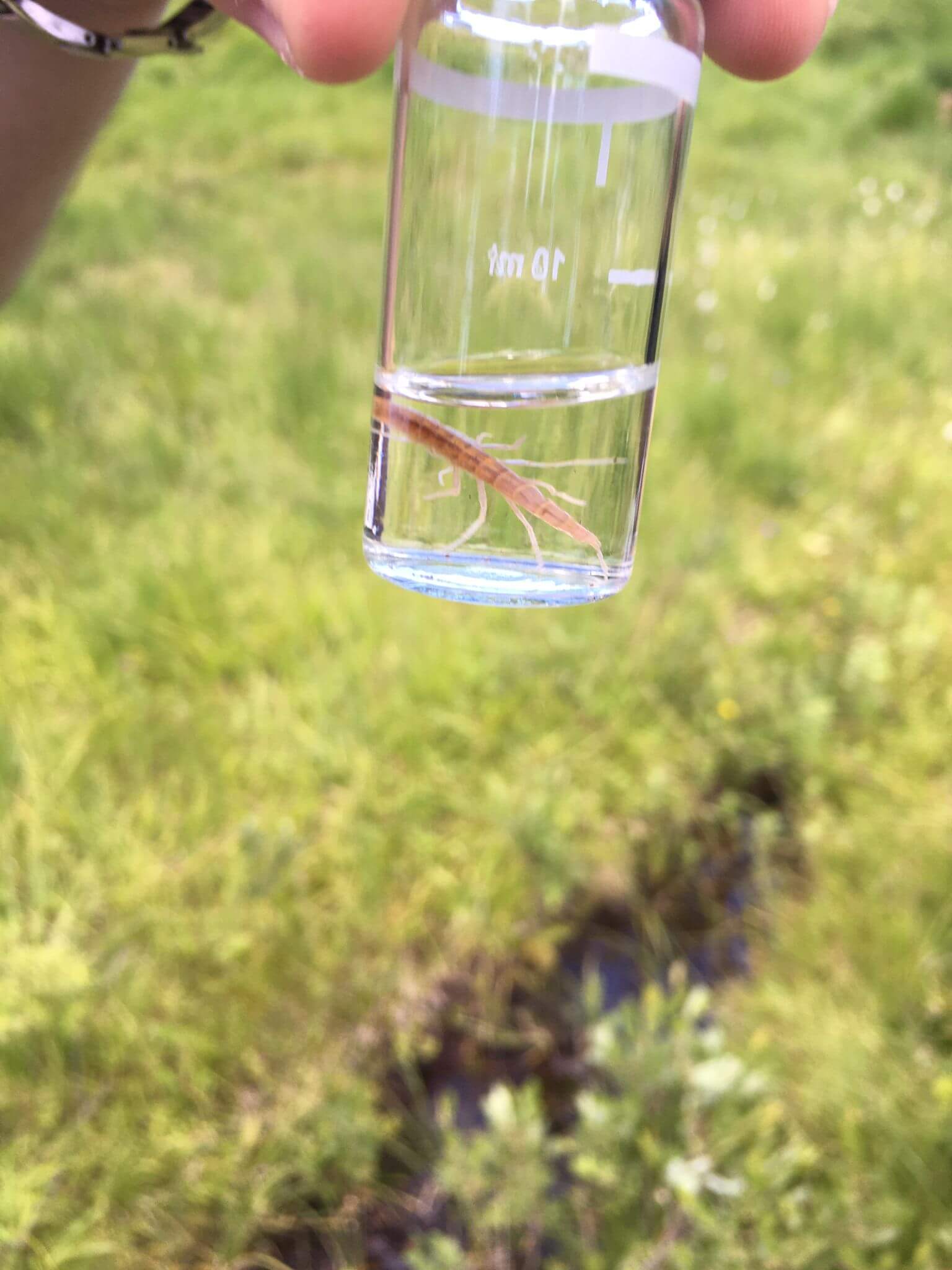
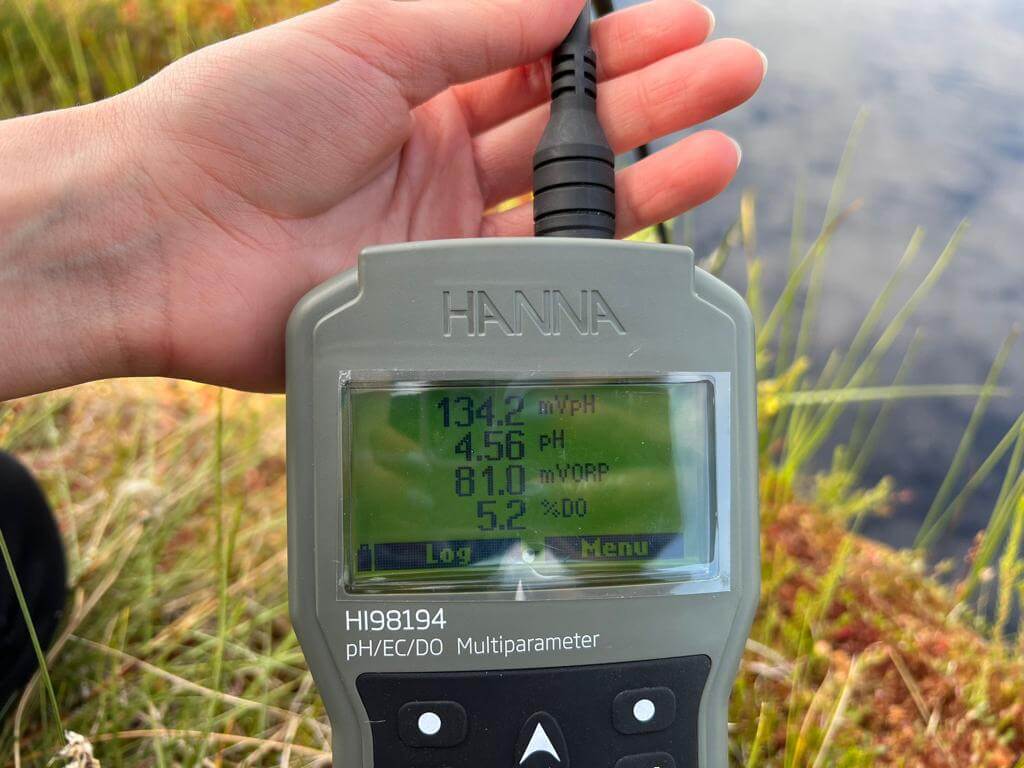
14.07.2022 – Another NWPEAT field trip was made in Tinovul Hărniceștilor. In the extremely dry period (also confirmed by the locals) in July, about 40% of the peatland’s surface (visually about 65%) was covered. The purpose of the field trip was to identify other water bodies, apart from the central one, and to capture a potentially high level of water under the Sphagnum moss cover etc., which could be evaluated from a physico-chemical point of view, but without any positive results. As a result, the physico-chemical measurements for the 13 parameters evaluated by the Hanna instruments were updated at two measurement points, at the surface and at the maximum immersion depth of the sensor (4 m), in the central water hole. The measurement of the same parameters was extended to the emissary stream of the peatland, at a distance of about 120 m from the exit, to which a simplified flow measurement was added, based on the evaluation of the speed with a few light floats. Also, multiple photos were taken of the peatland biodiversity, as well as the identified water surface. Two species of crustaceans, along with other biotic components, are present in the measurement mini-section. Video and photo materials were captured. In the end, a spatial and temporal visual estimation was made regarding a possible topometric precision survey of the maximum external buffer, which delimits the peatland.
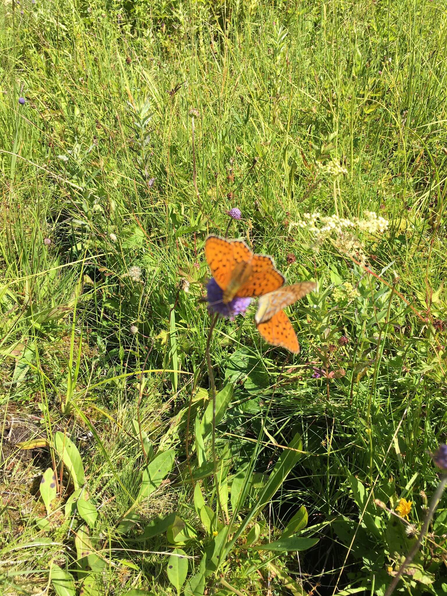

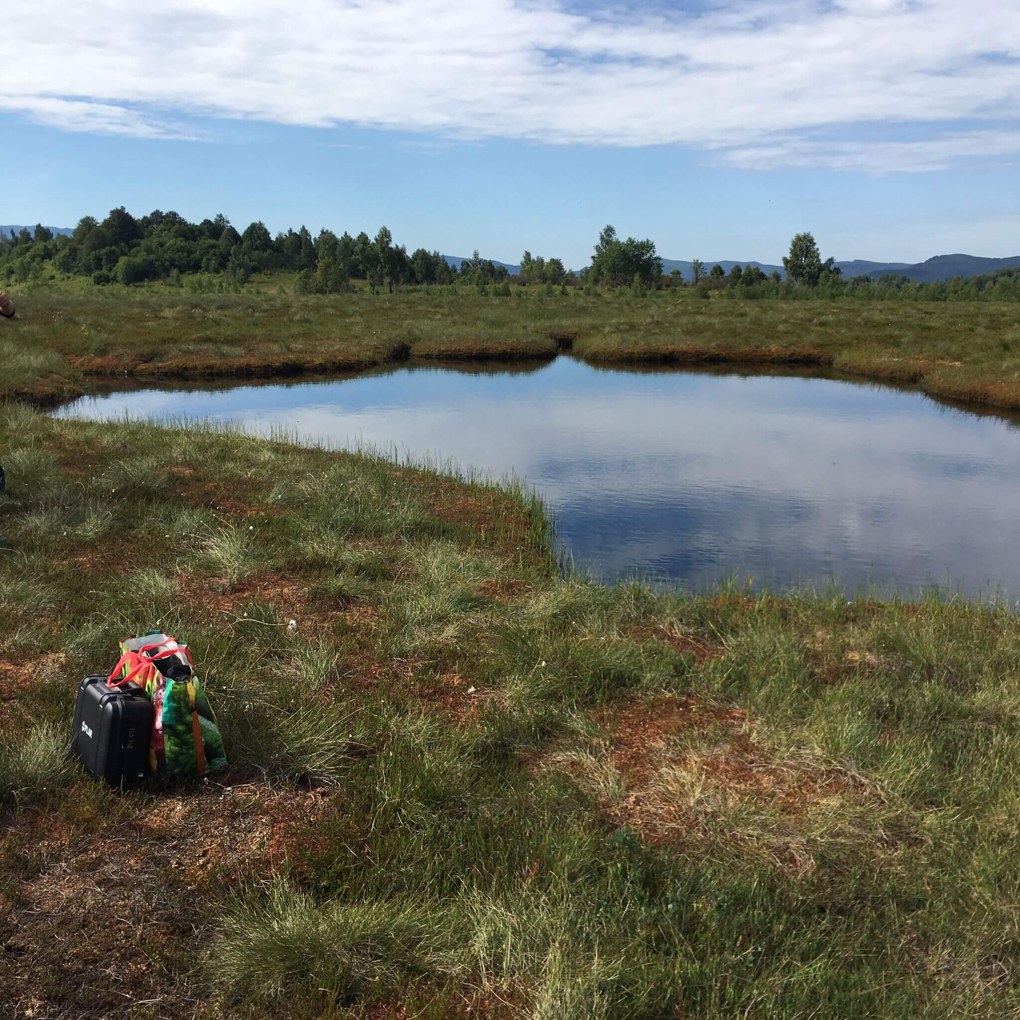
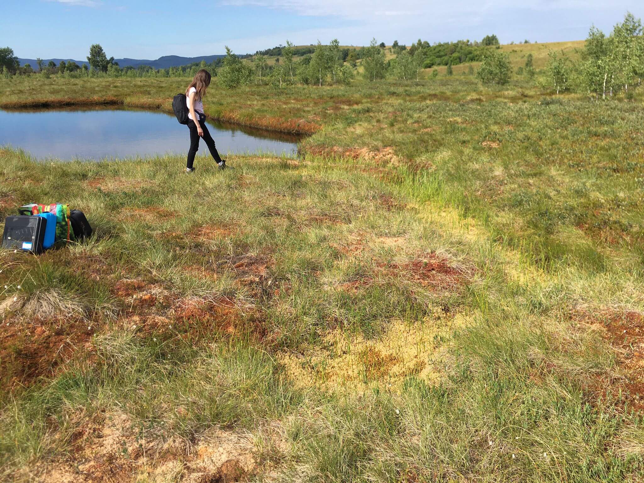
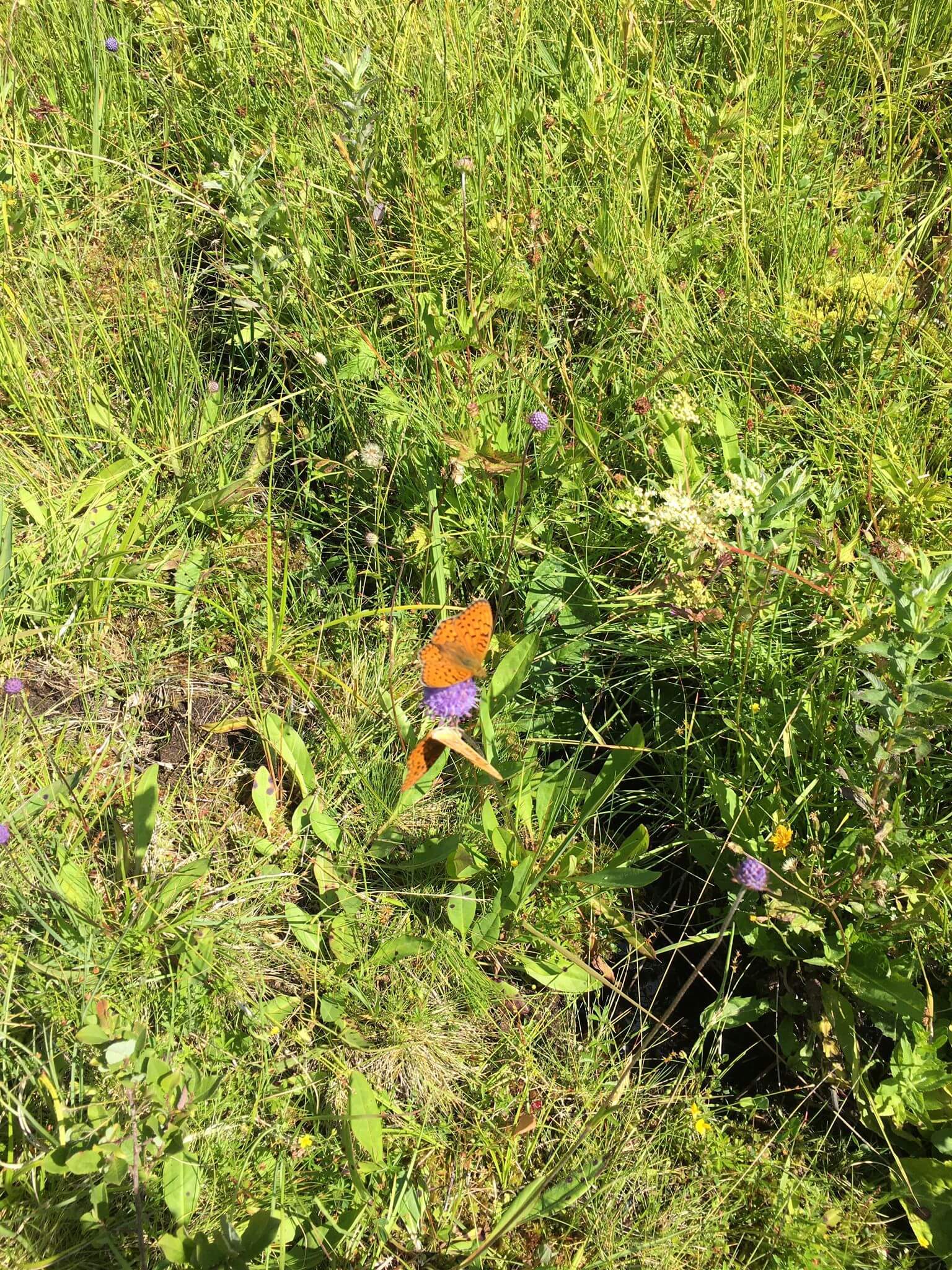

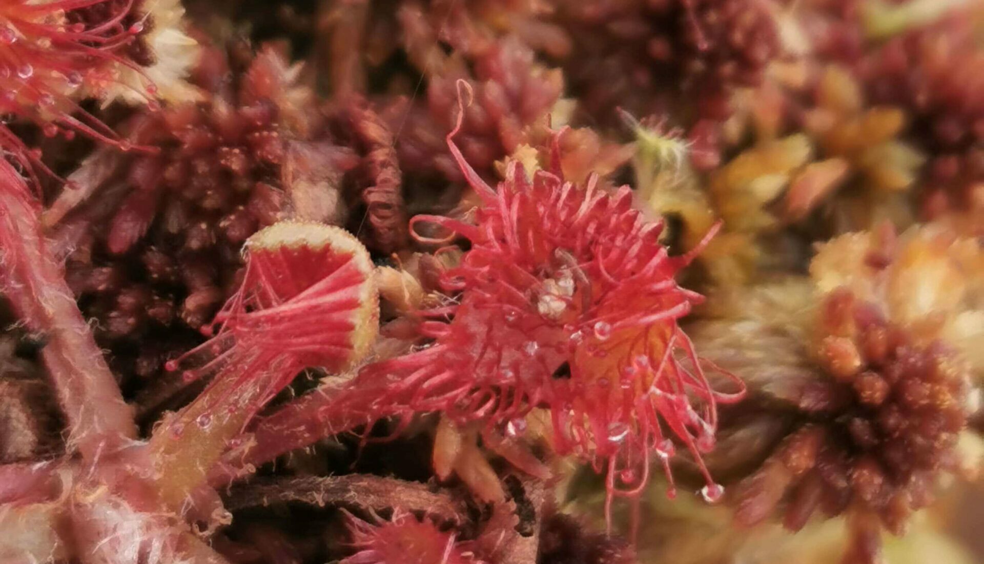
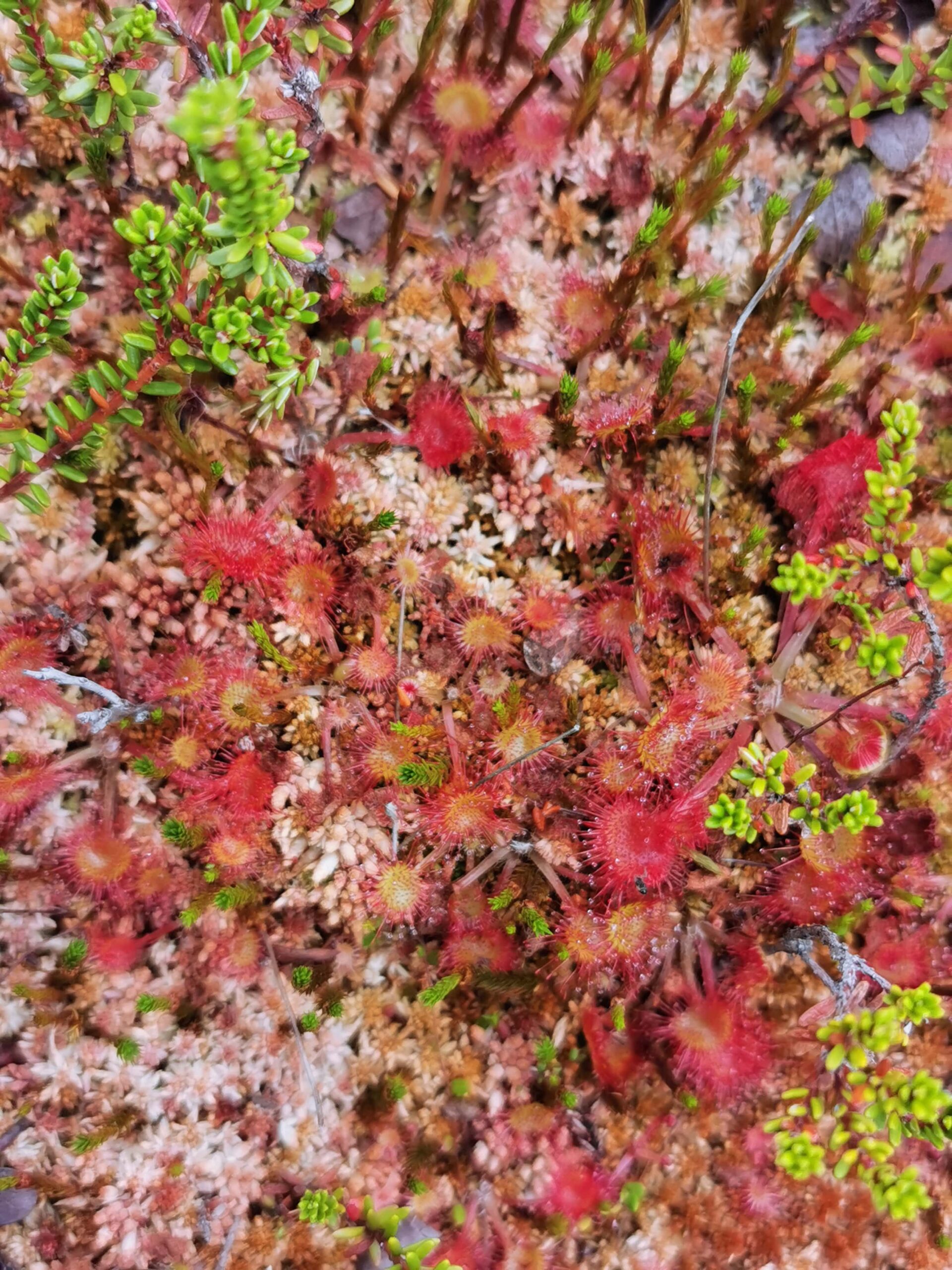
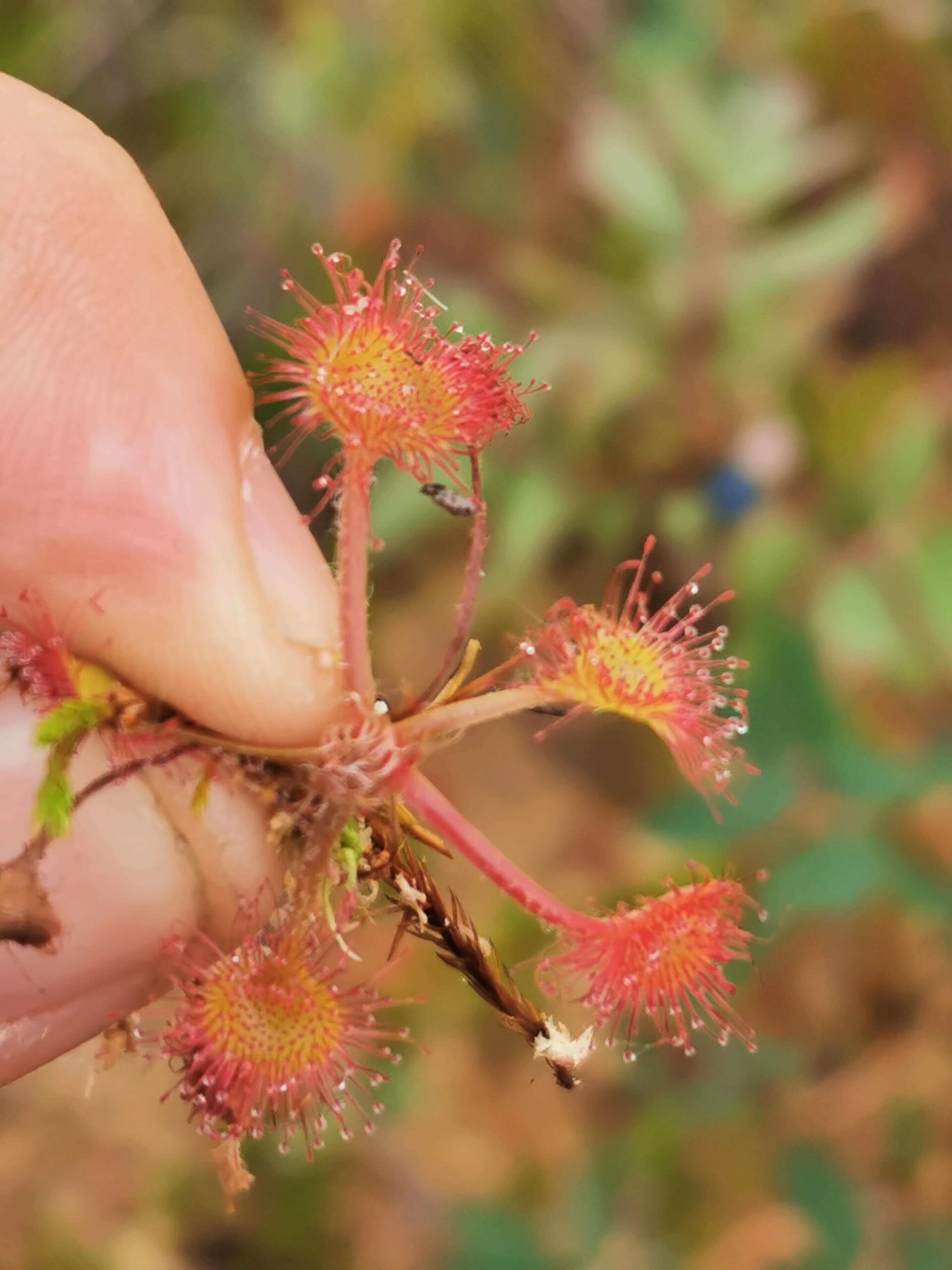
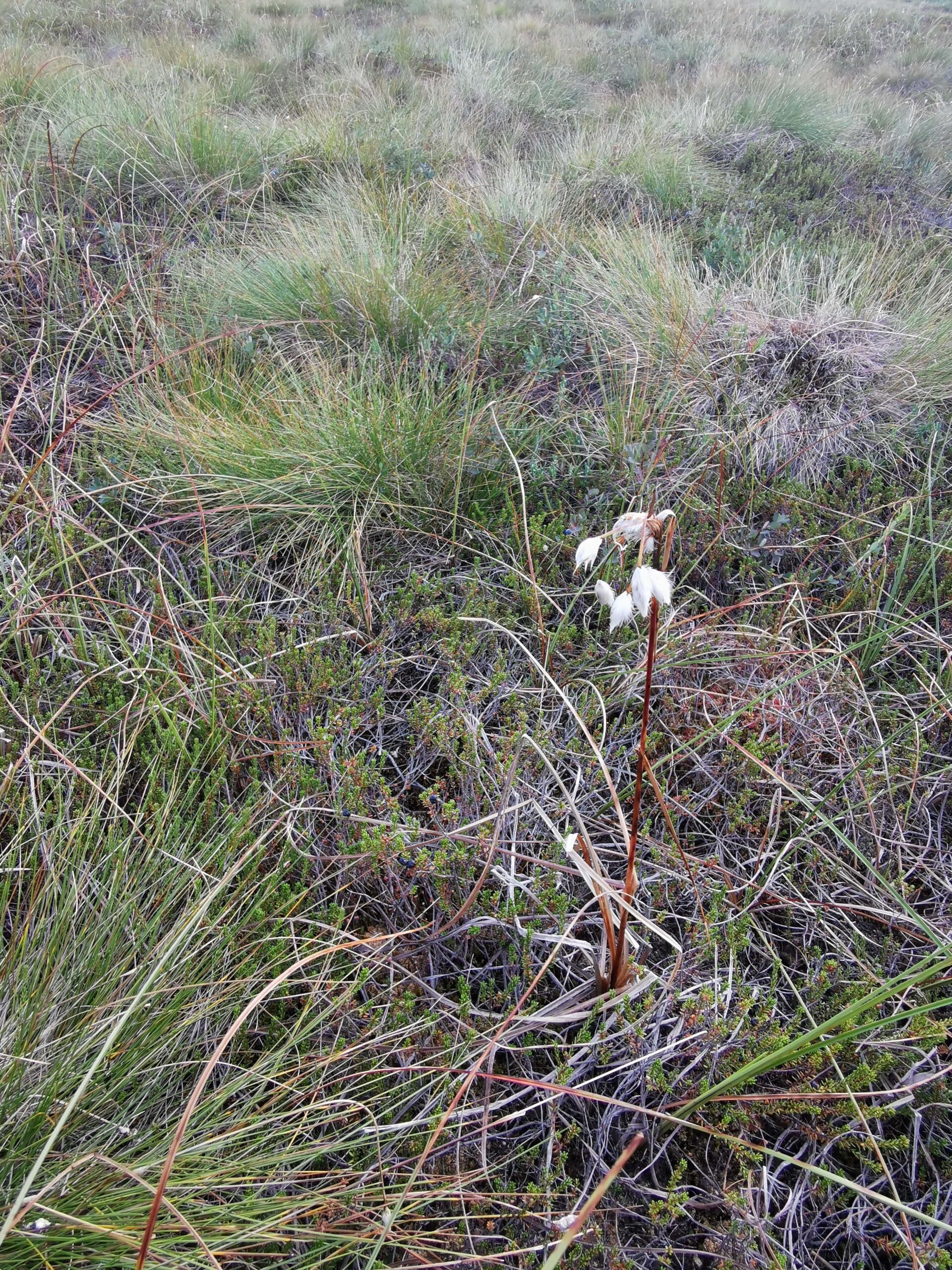
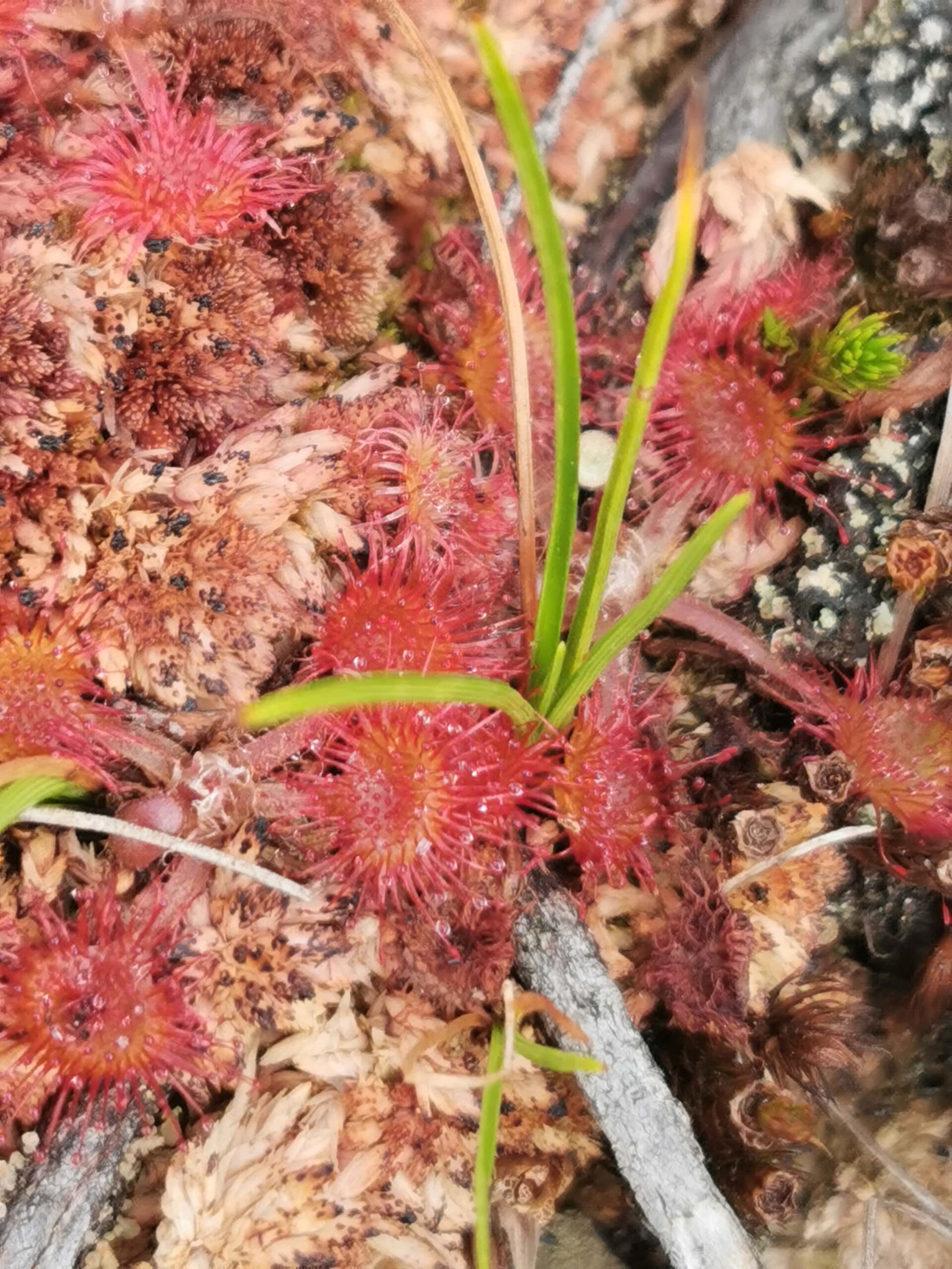
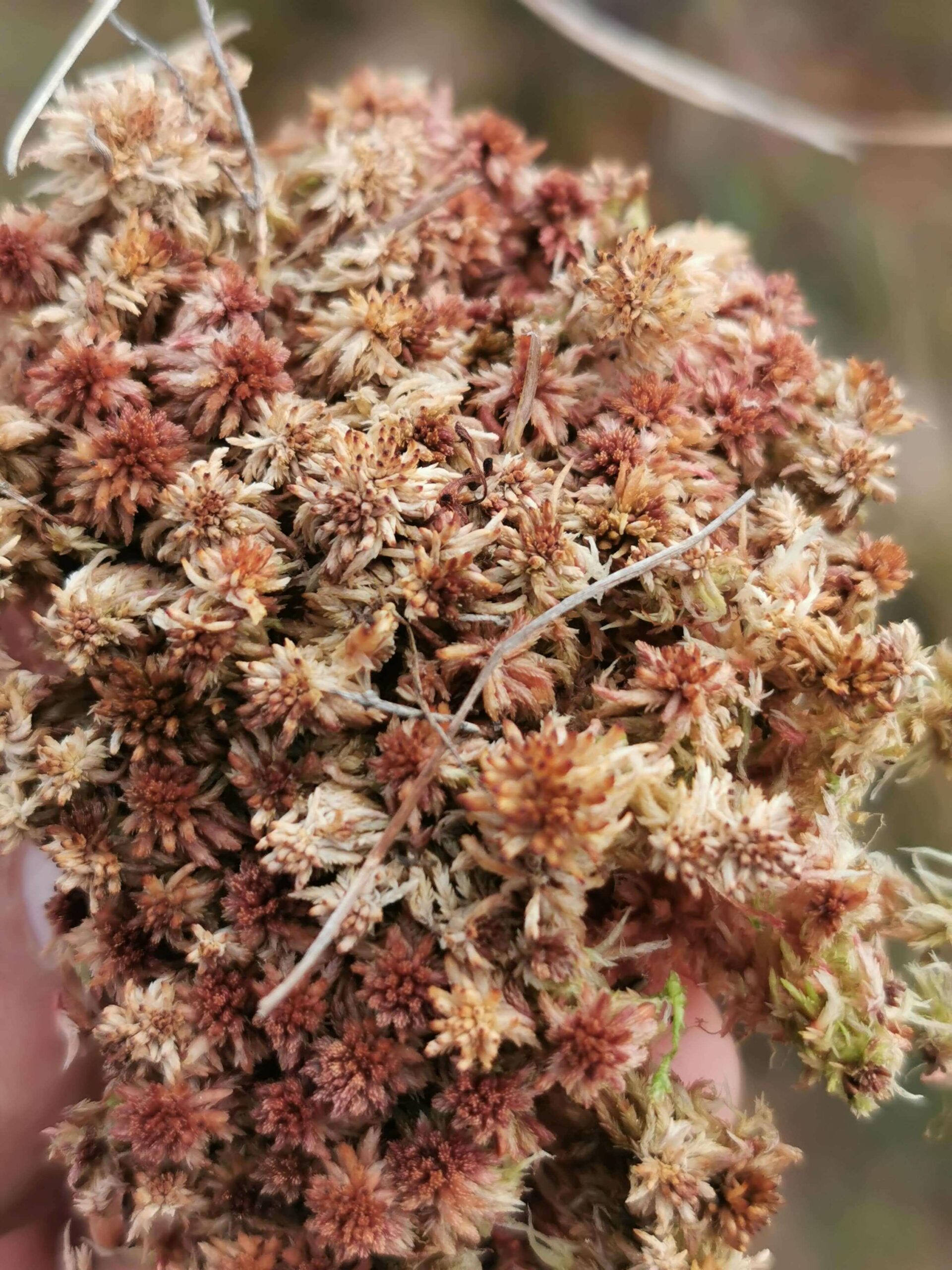
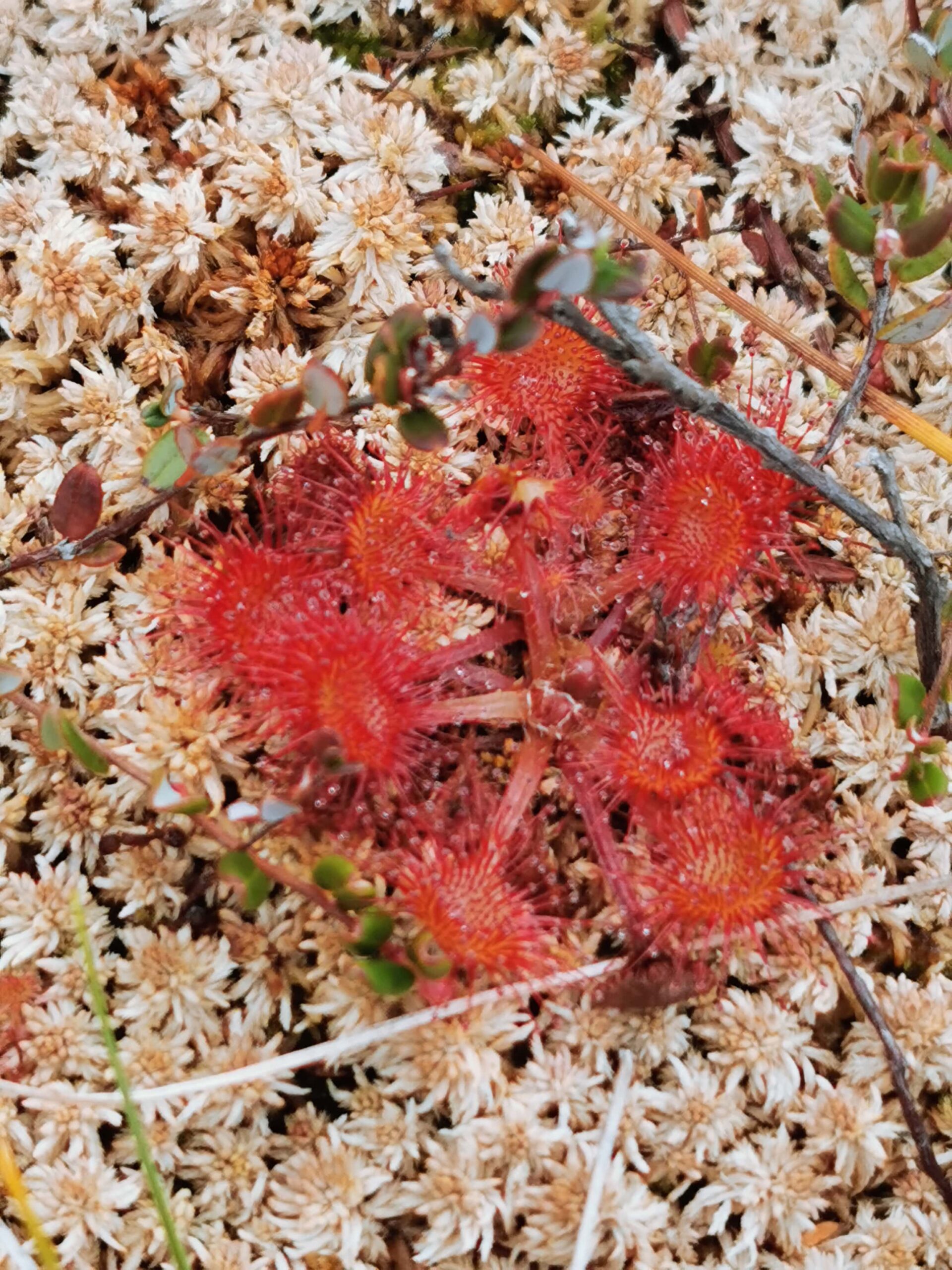
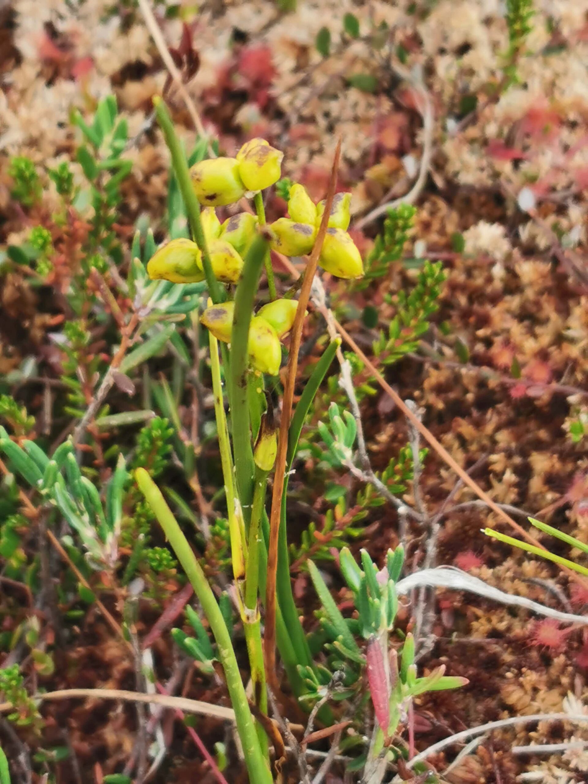
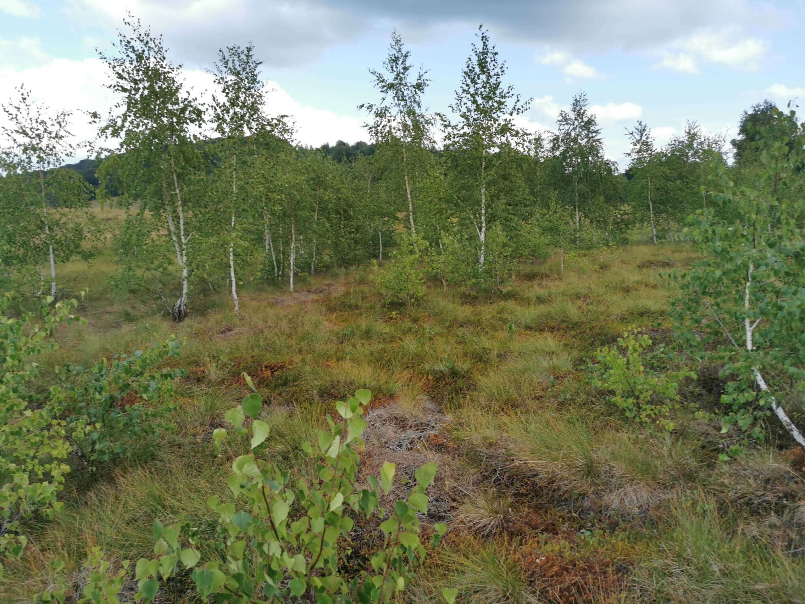
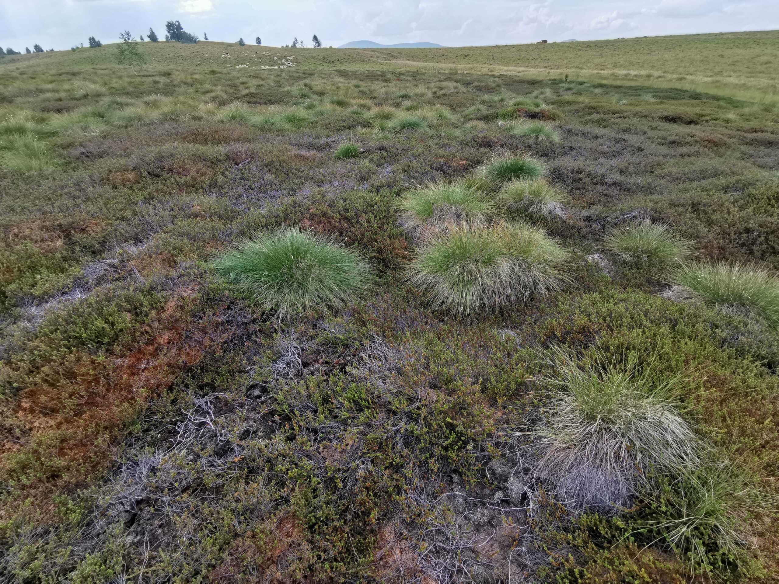
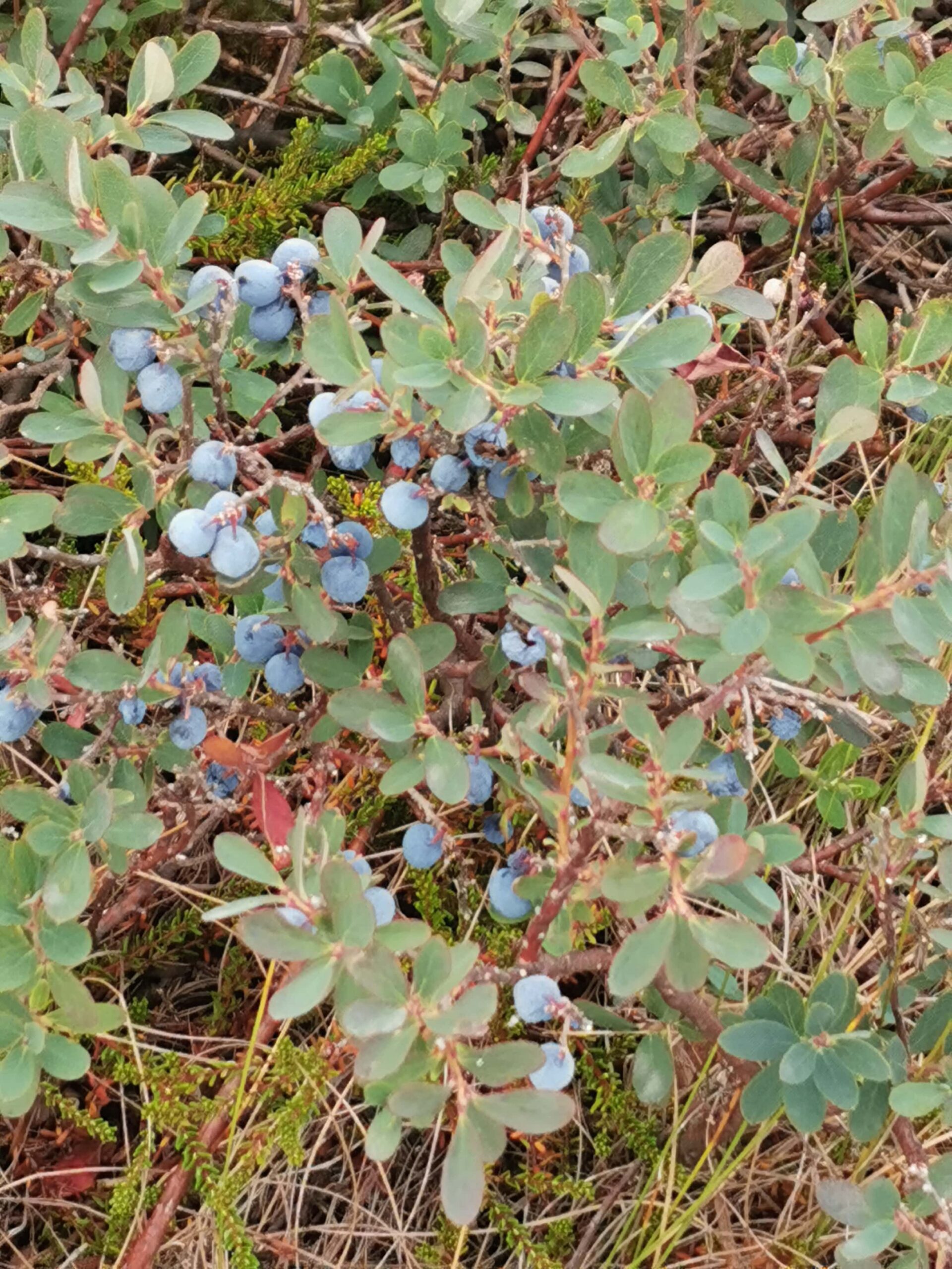
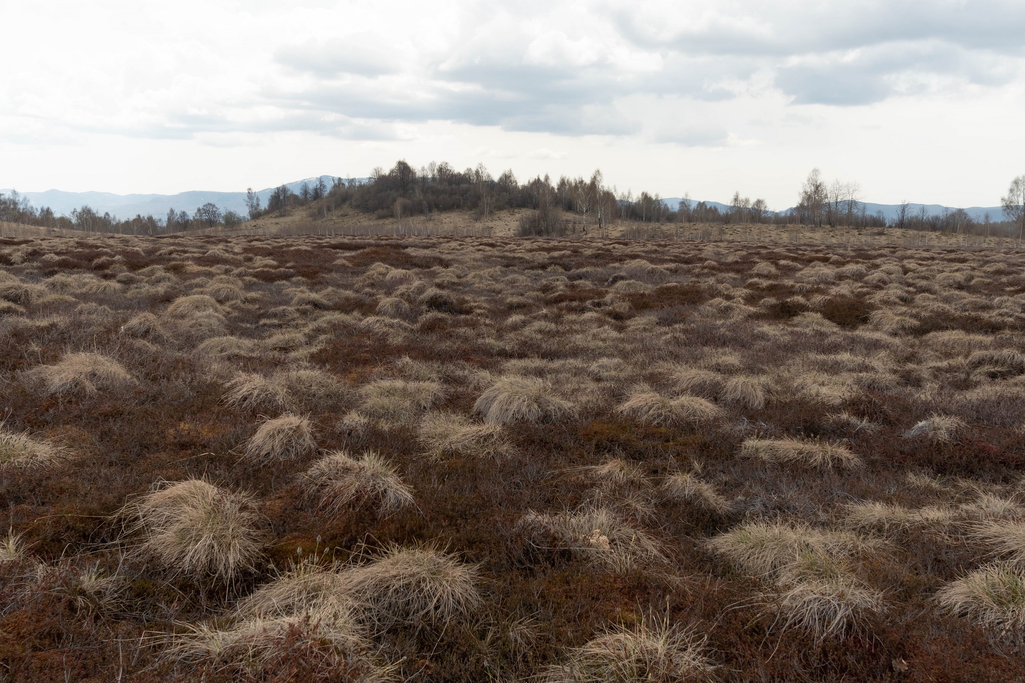
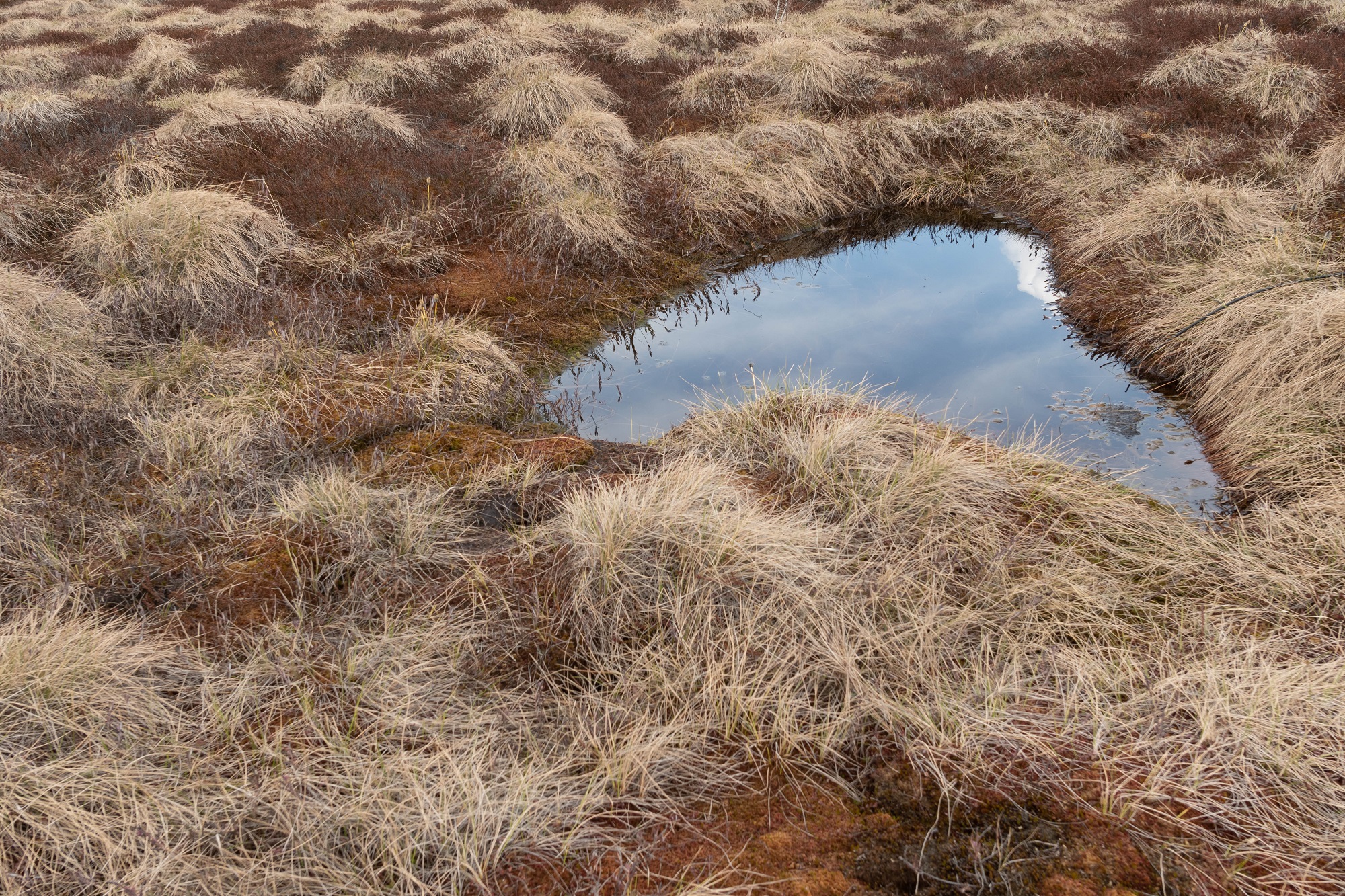
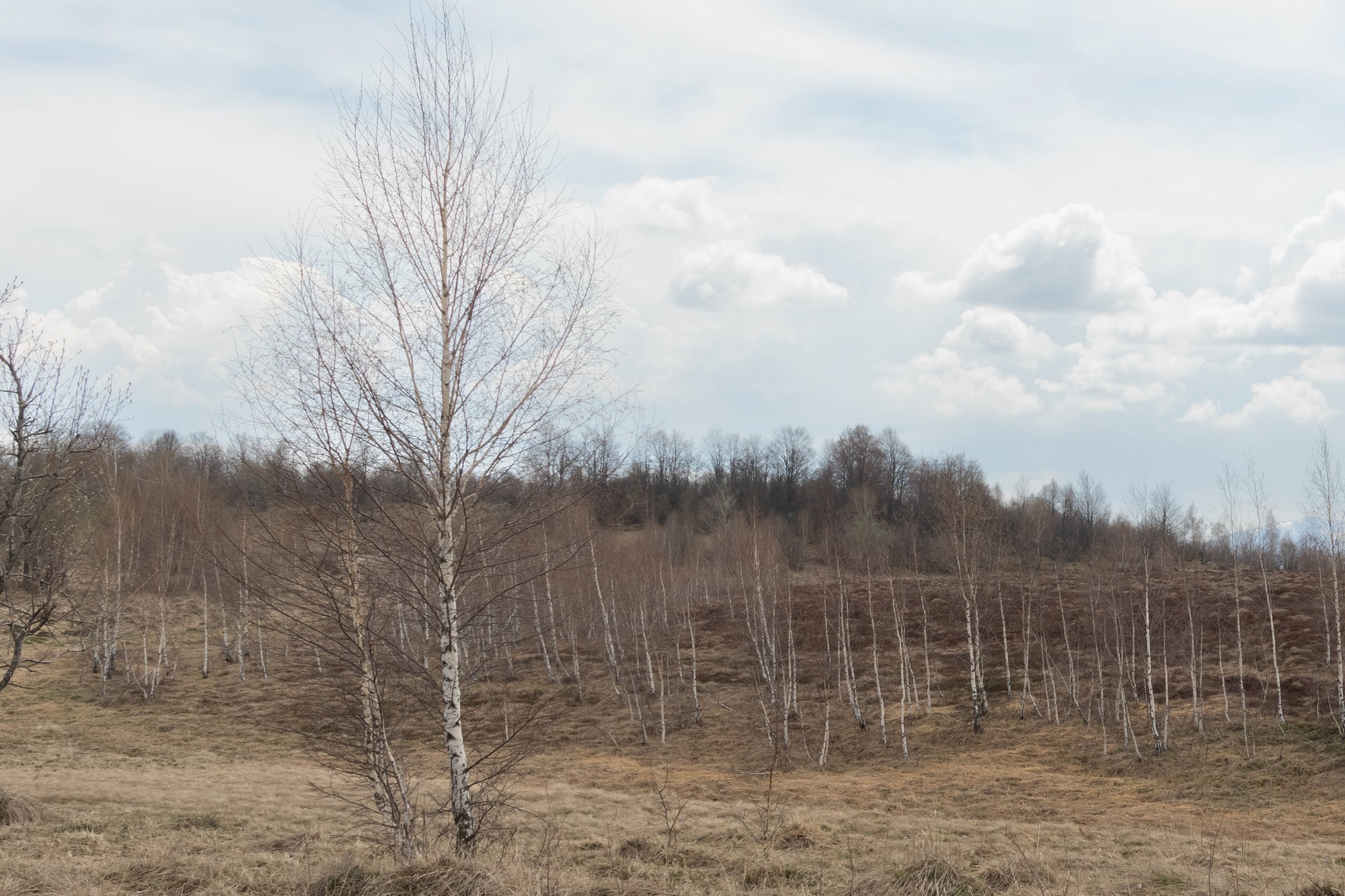
Habitat mapping – Iezerul Mare
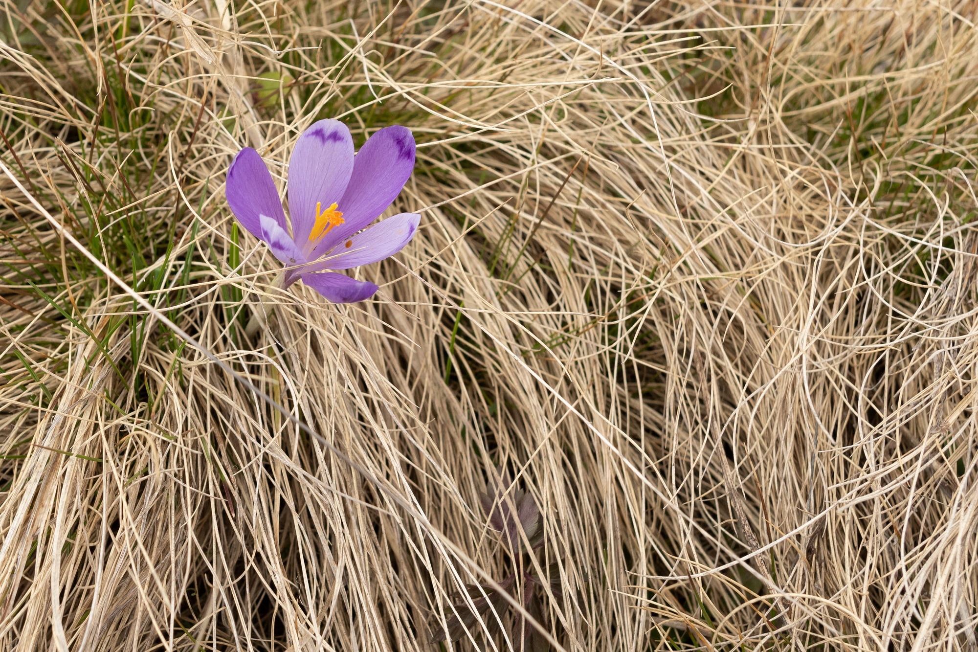
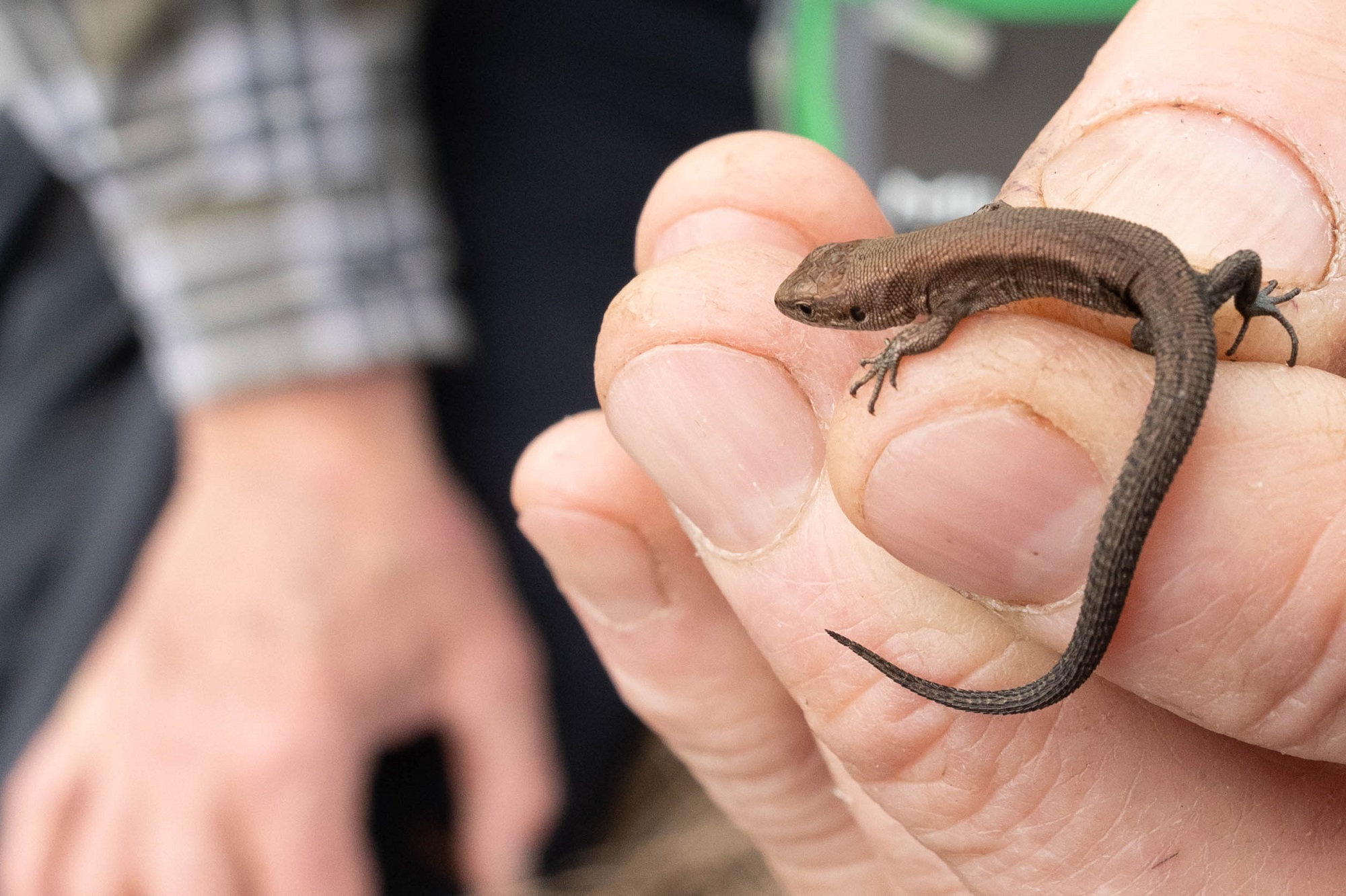
13.08.2022 – The habitat 7110*. Active raised bog occupies the surface of the entire peatland. Although the Mountain hay meadows habitat (6520), near the peatland, is heavily degraded by overgrazing, the peatland is in an excellent state of conservation, with rare species such as Empetrum nigrum and Drosera rotundifolia. There is one larger-sized water body in the middle of the peatland and a few smaller ones in the area. Their pH is acidic, thus missing the possibility of using them as breeding habitats for amphibians. Among the reptiles, Zootoca vivipara is a well-represented species in the peatland.