Water assessments and UAS flights – Tinovul La Poduri
Status
Date: 20.07.2022
Location: Cluj – Tinovul La Poduri
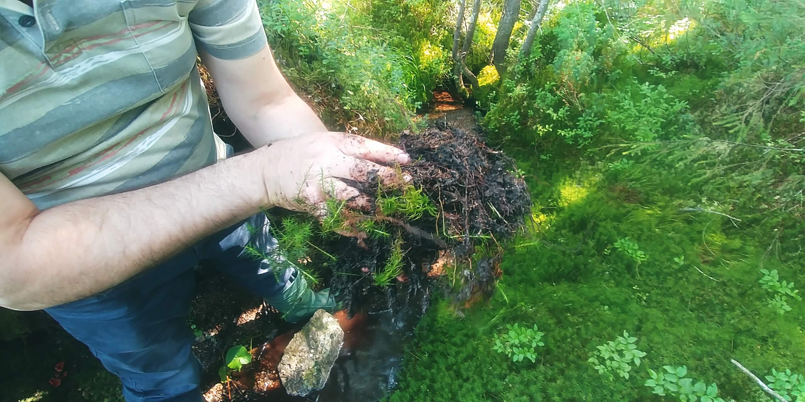
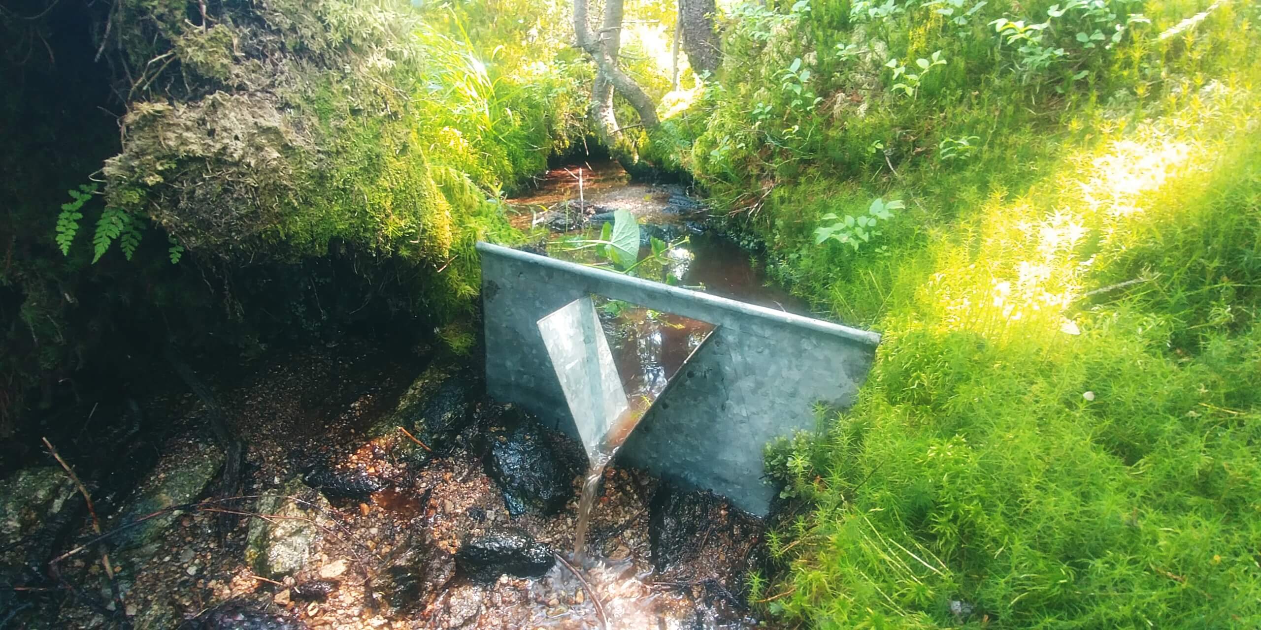
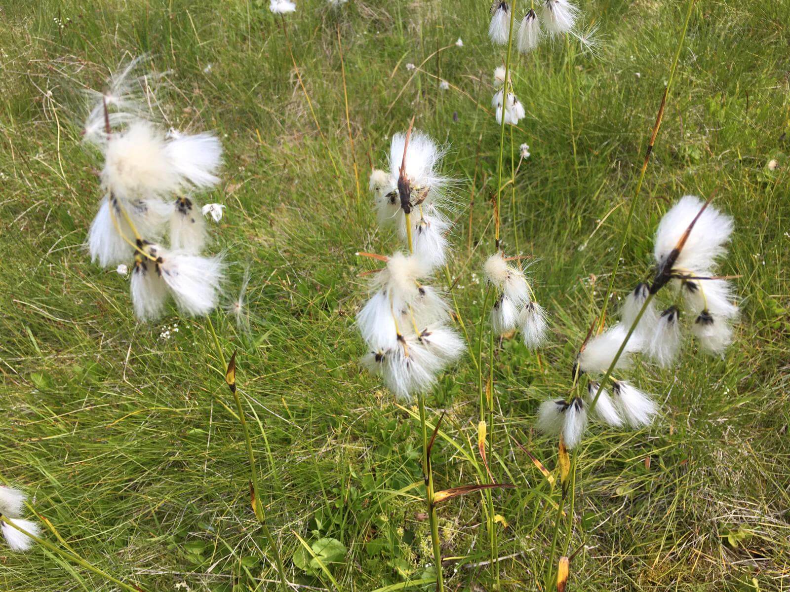
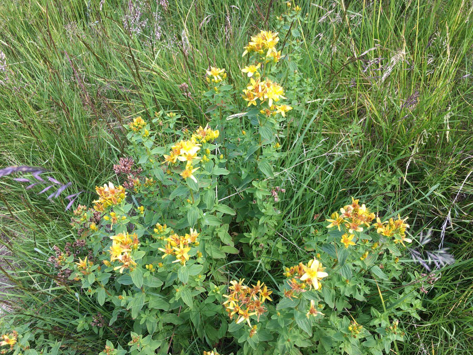
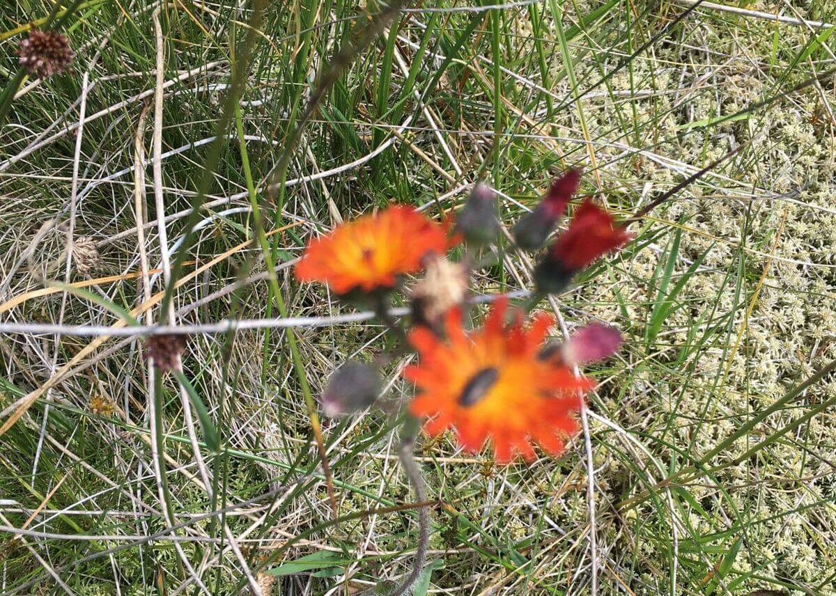
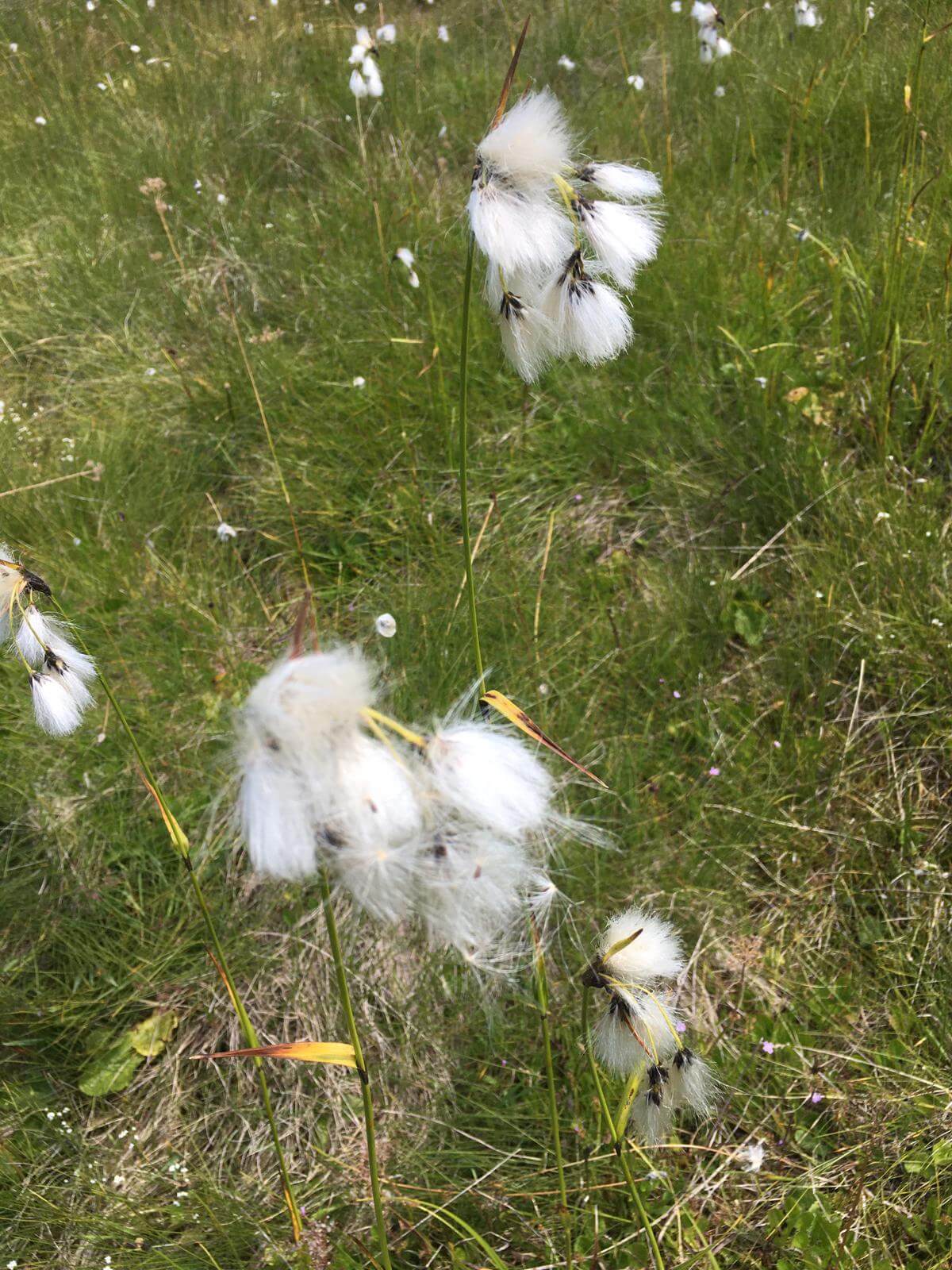
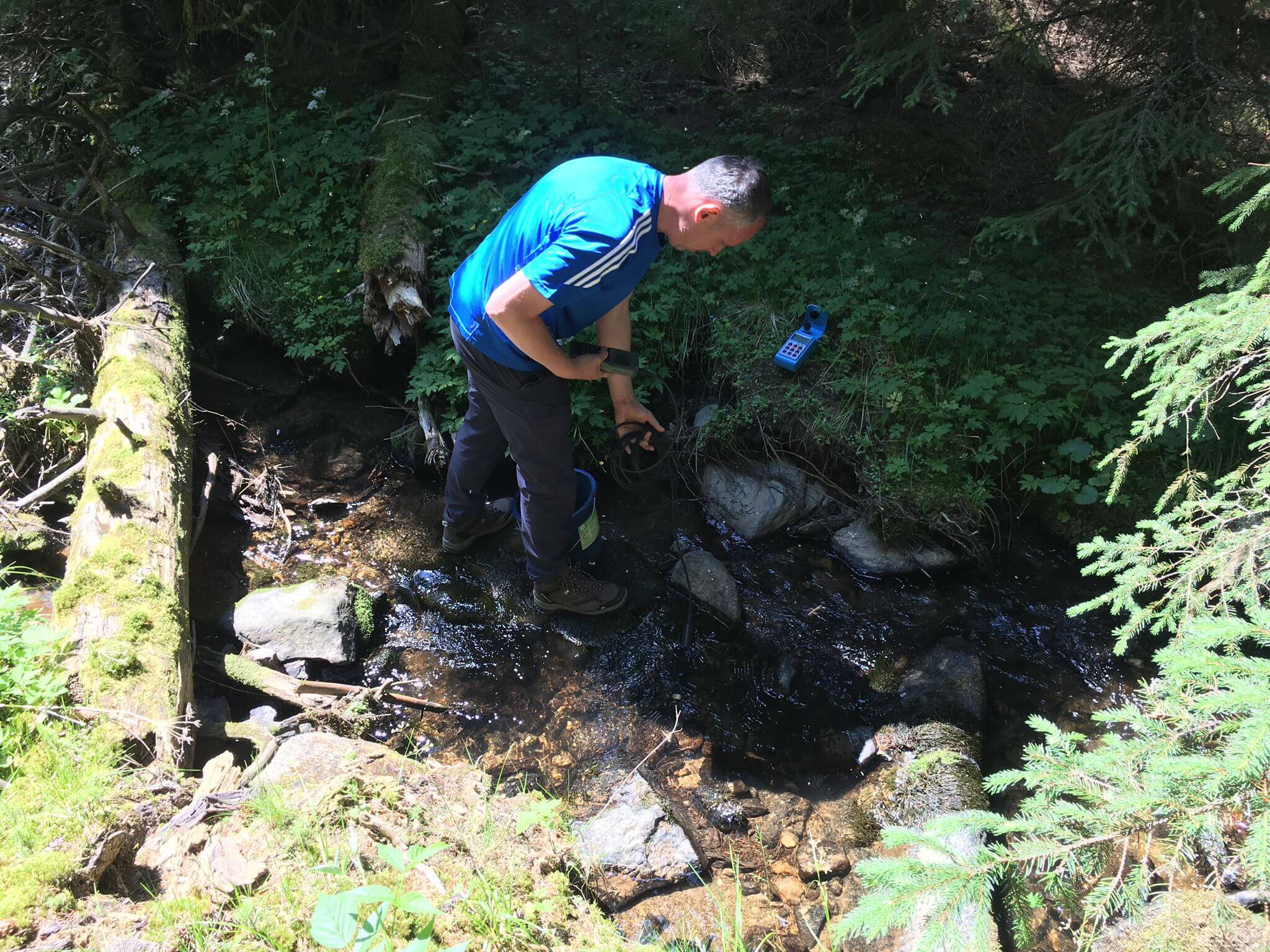
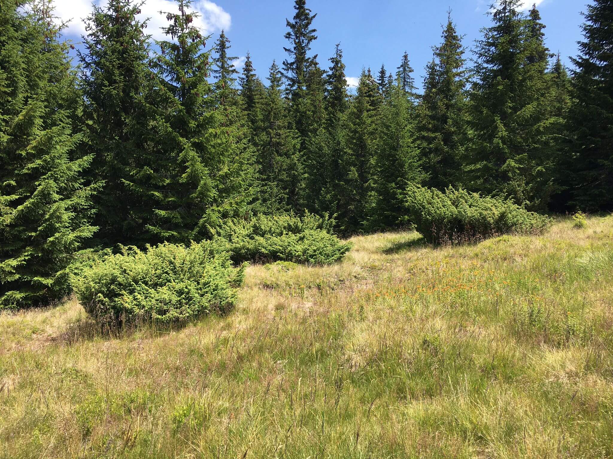
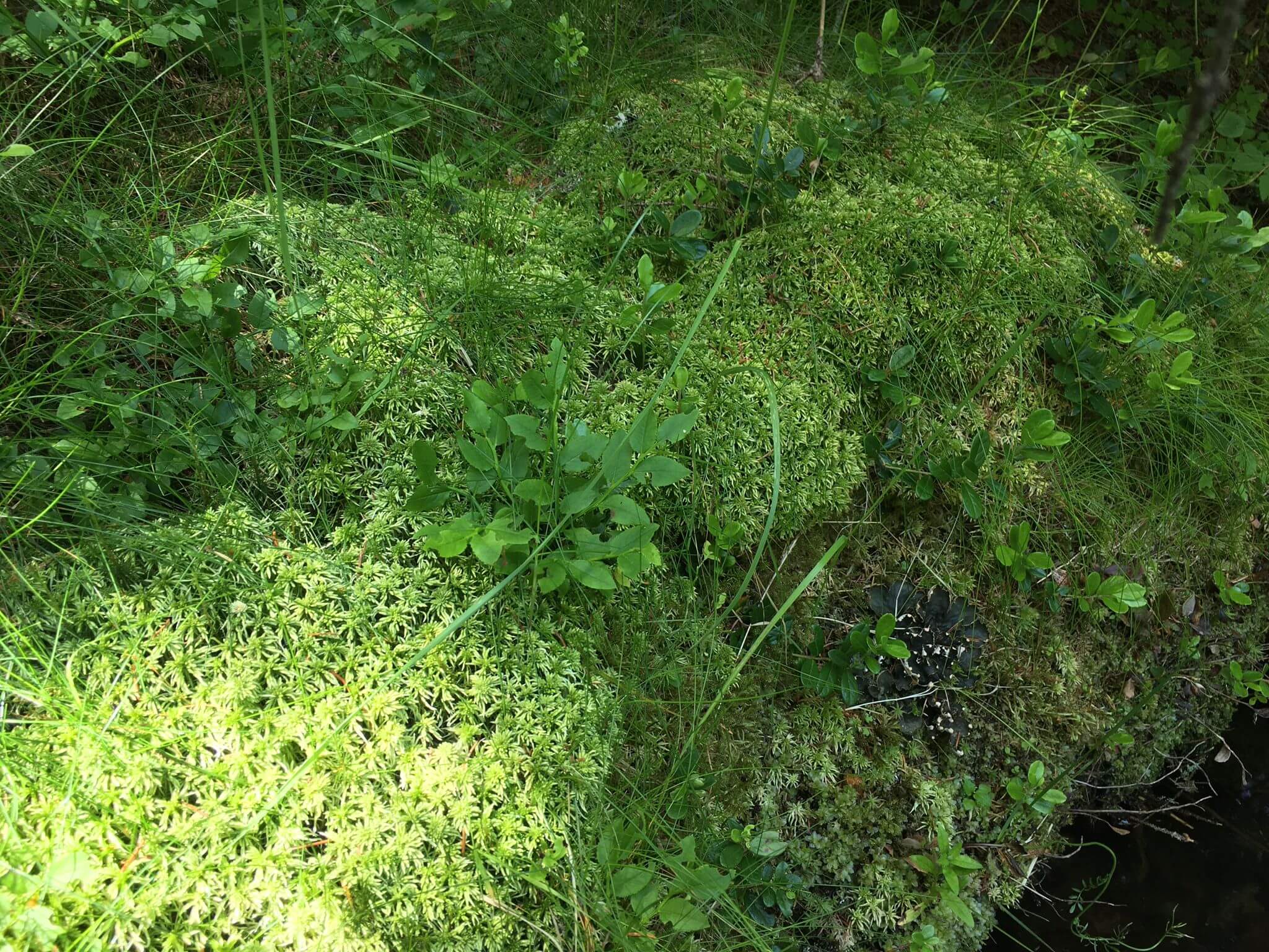
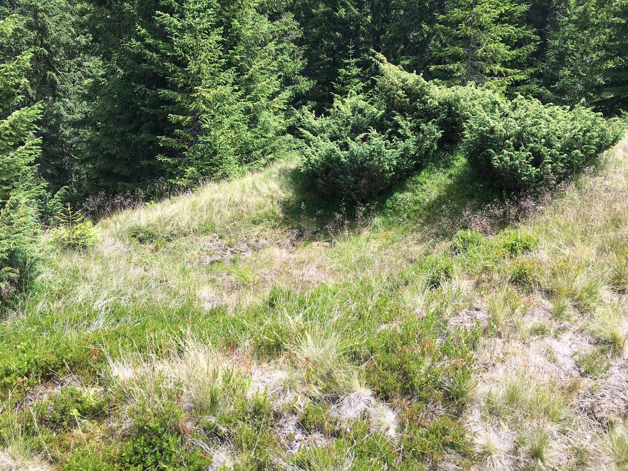
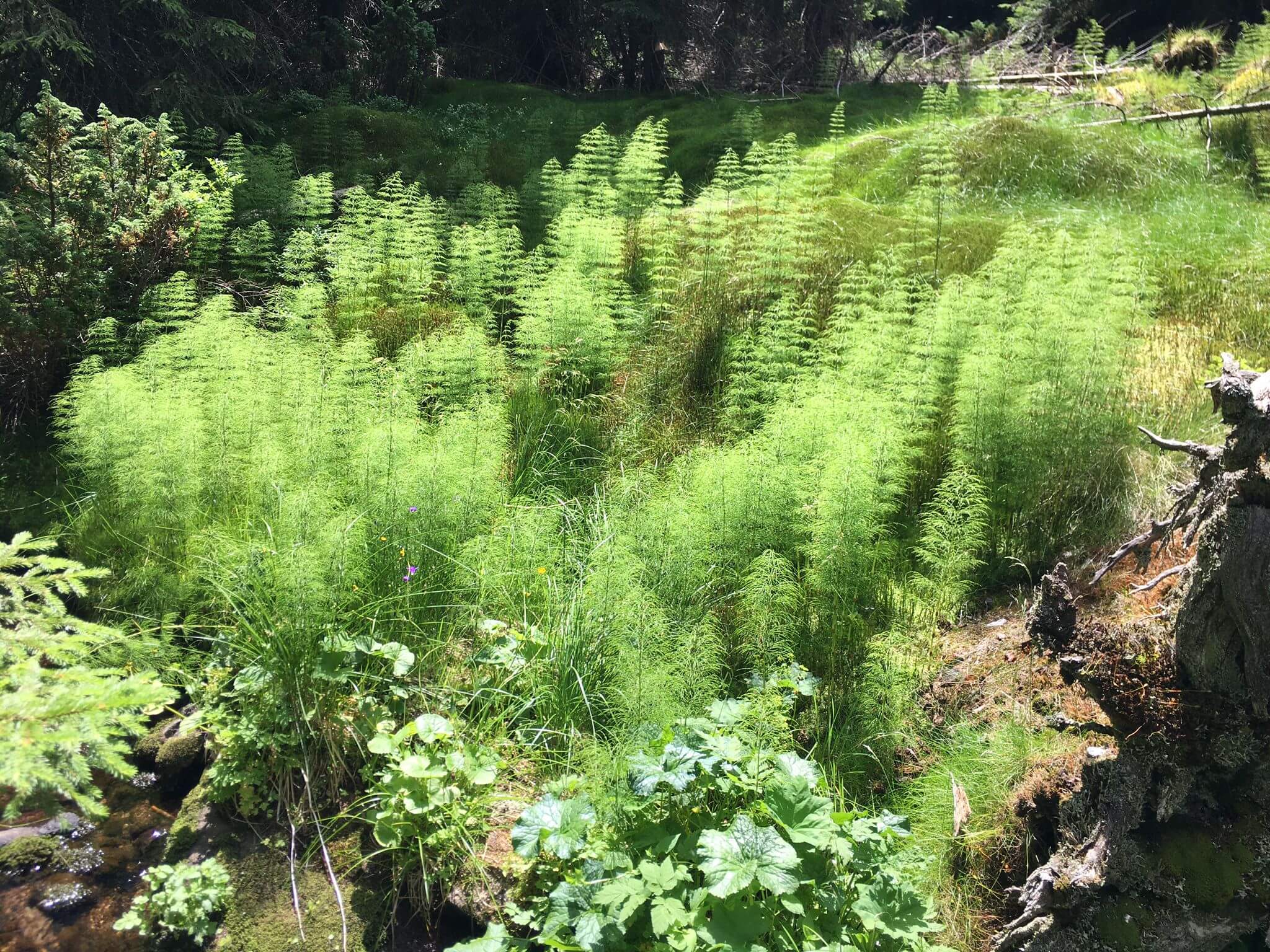
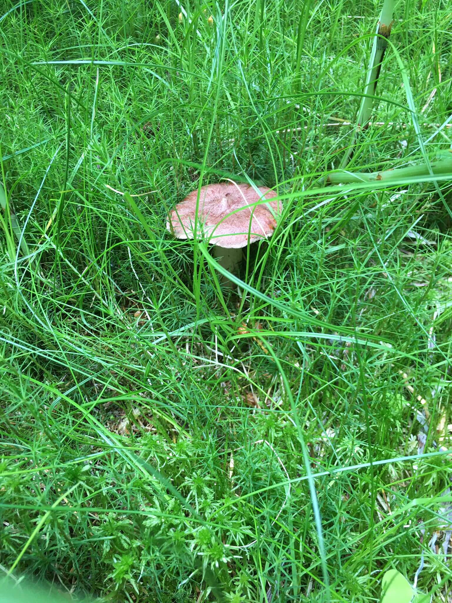
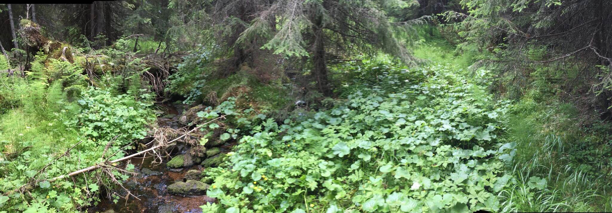
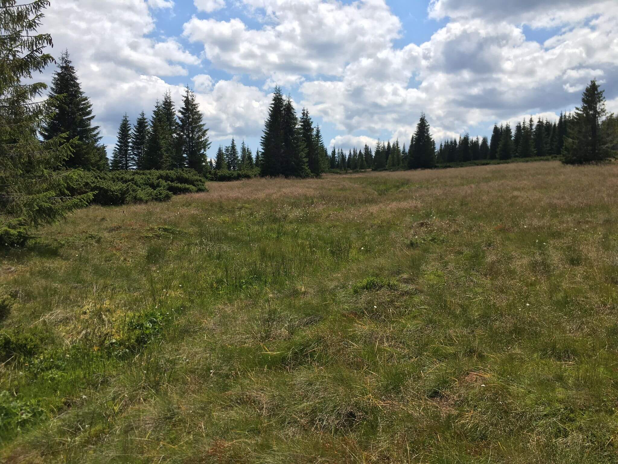
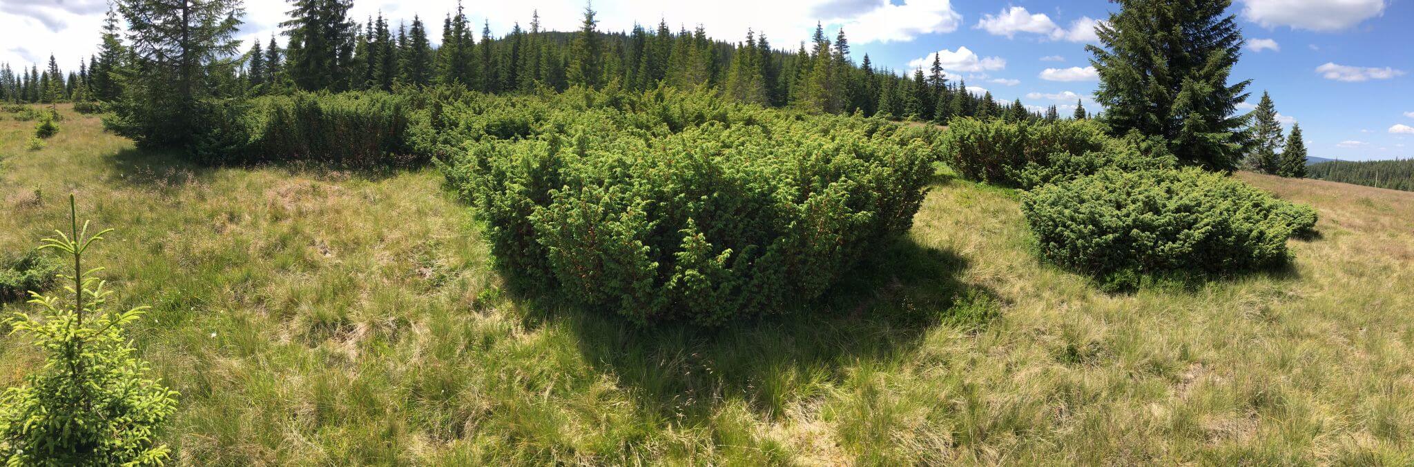
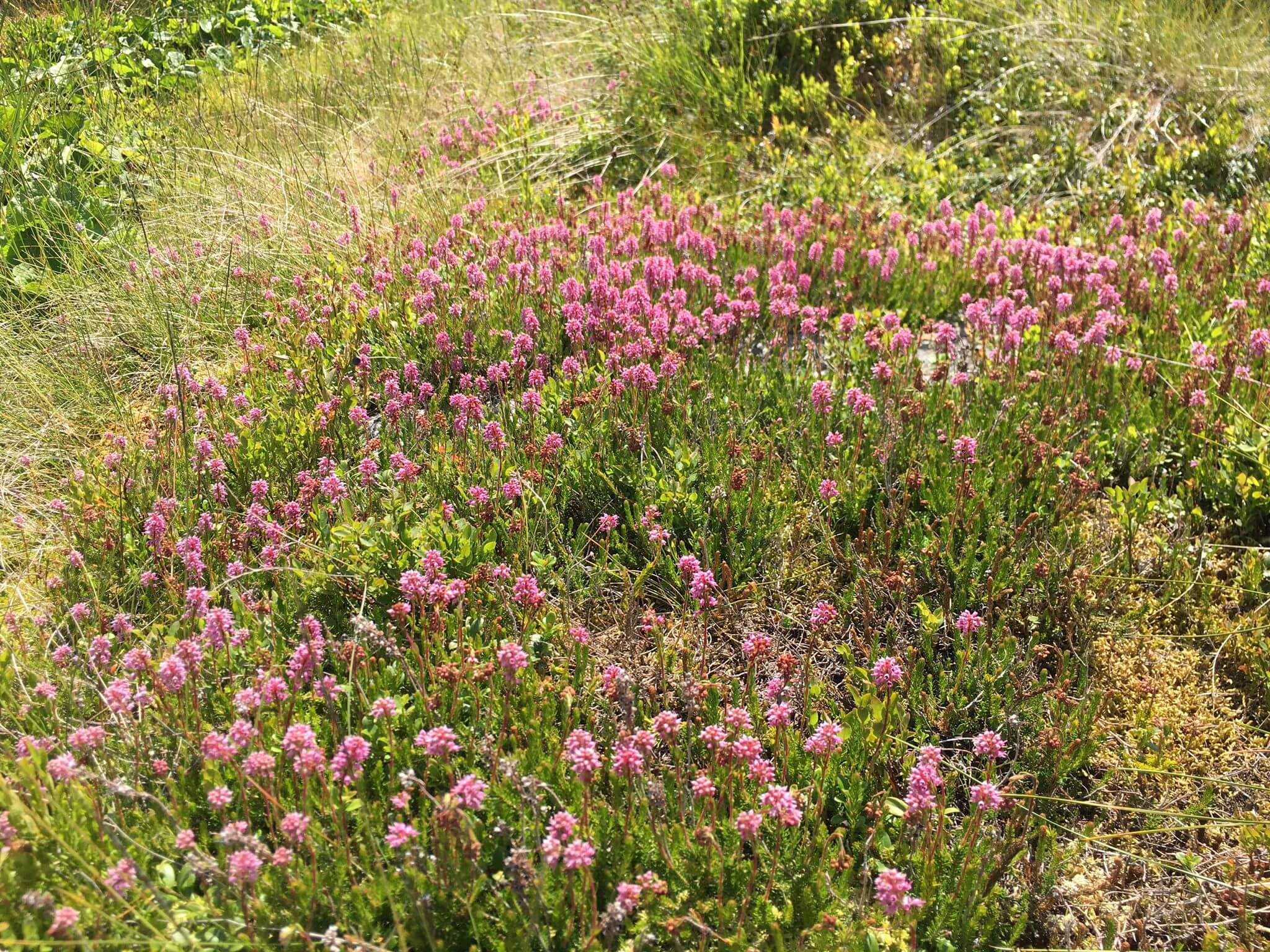
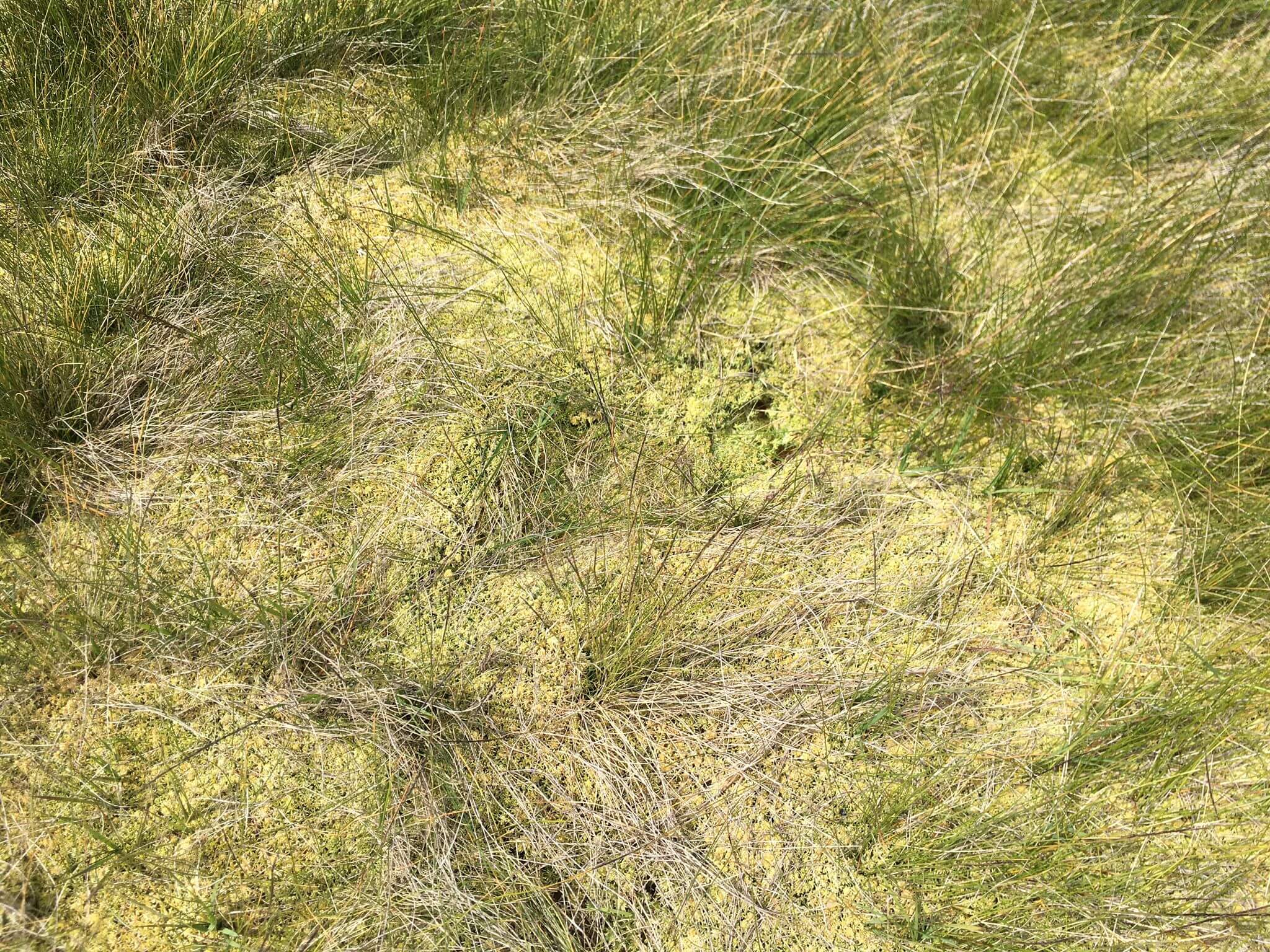
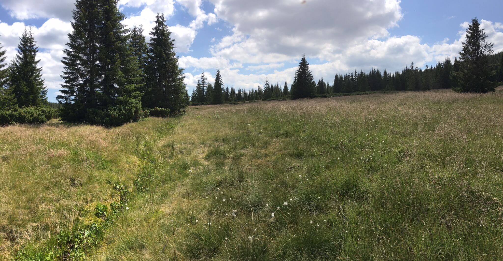
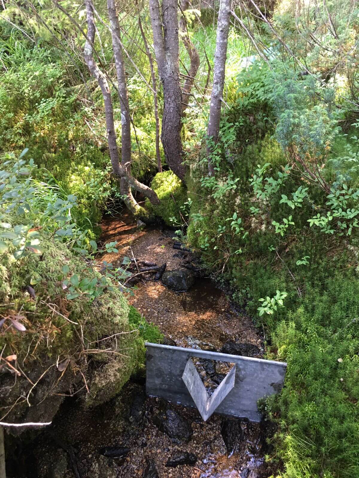
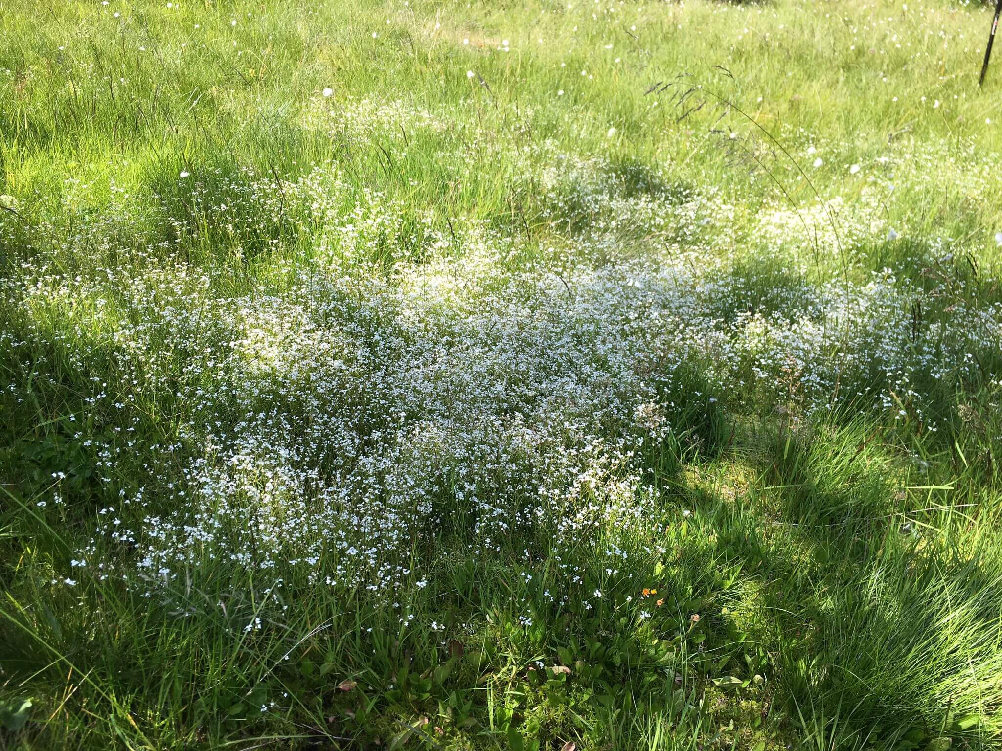
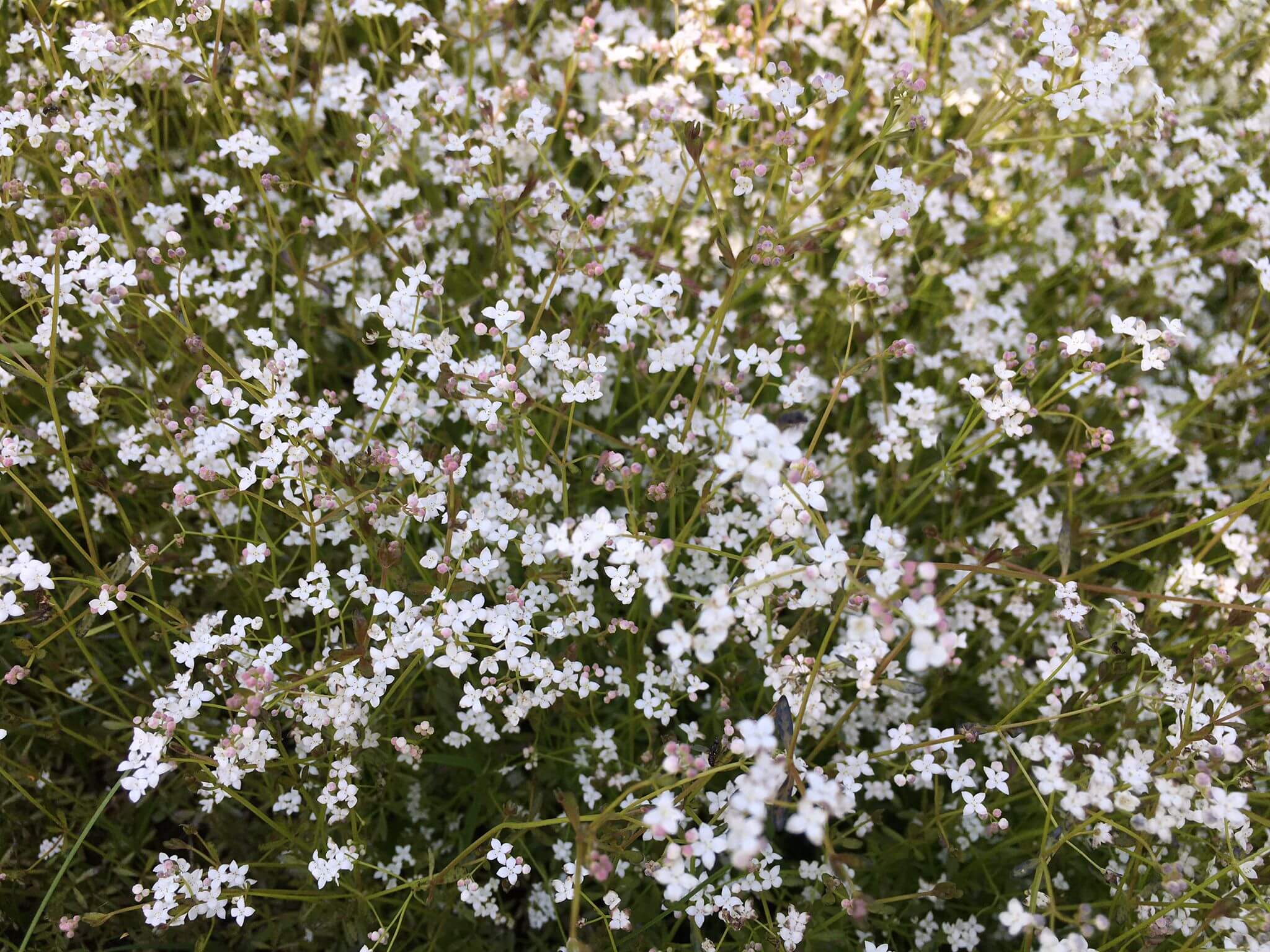
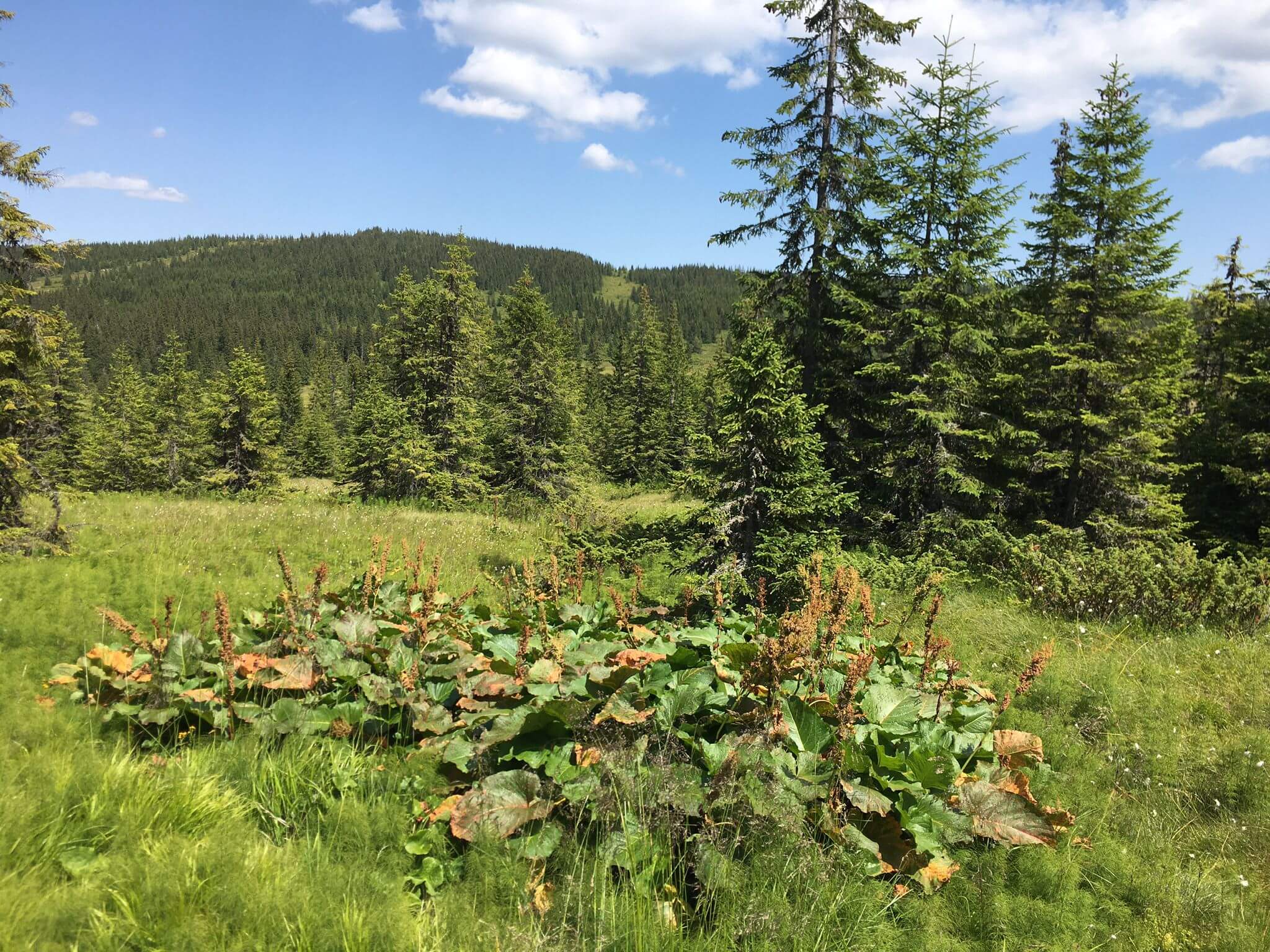
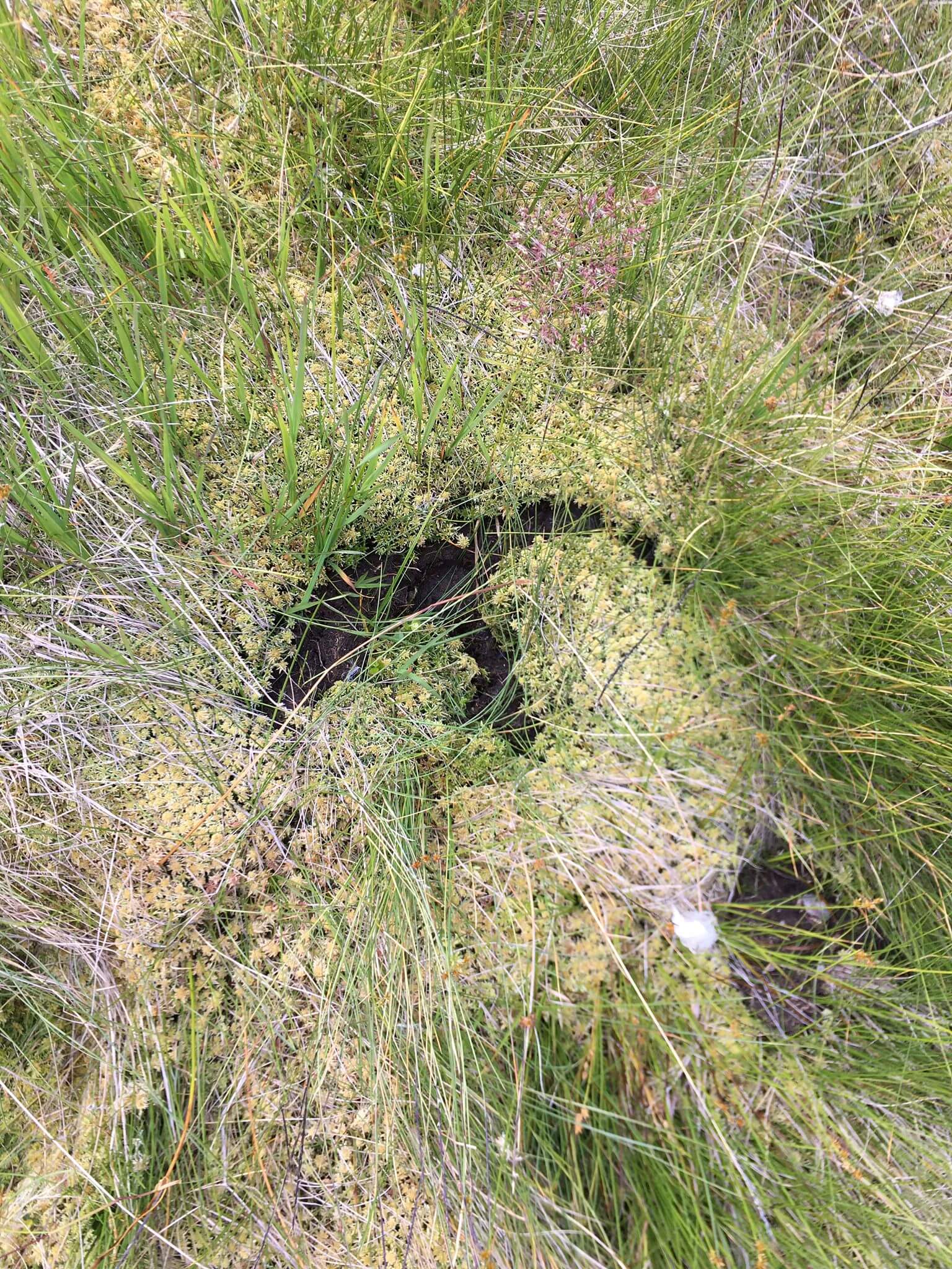
To complete the existing database on primary water quality data and the configuration of the river network, a new field trip to the site was organised. The timing (July) confirmed a clear reduction in available water volumes amidst a prolonged drought, noted on a national scale. The actual field work focused on the resumption of the water quality monitoring campaign, with sampling and in-situ assessments following the locations chosen in the first field trip on 25 May 2022, to which other representative points were added. Thus, 12 water quality analyses were carried out, covering parameters associated with Hanna portable equipment. Flow measurements were also carried out on the streams draining the peatland longitudinally and their drainage paths were marked. The work was also documented photographically, including aspects and details of the condition and distribution of local plant species. Based on the existing camera, several parallel, striped, drone overflights were carried out for the subsequent generation of a DEM and a high-resolution ortho-plane of the analysed peatland.