Hydrological measurements – Tinovul Hărniceștilor
Status
Date: 14.07.2022
Location: Maramureș – Tinovul Hărniceștilor
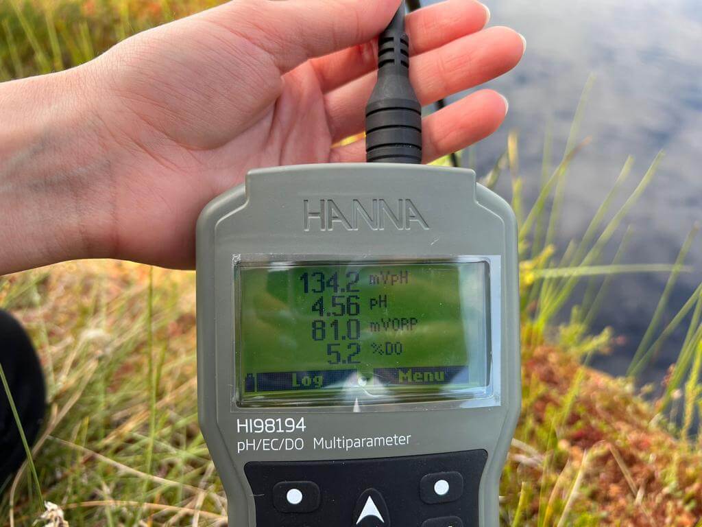
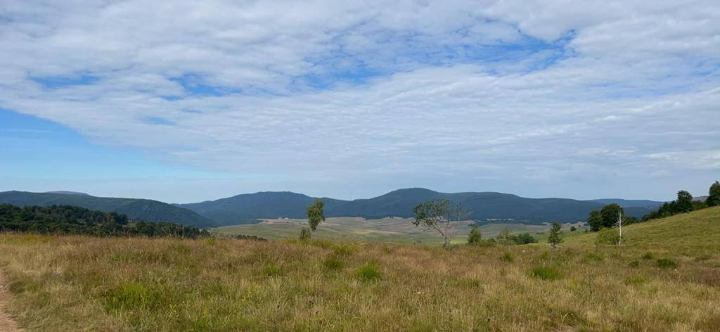
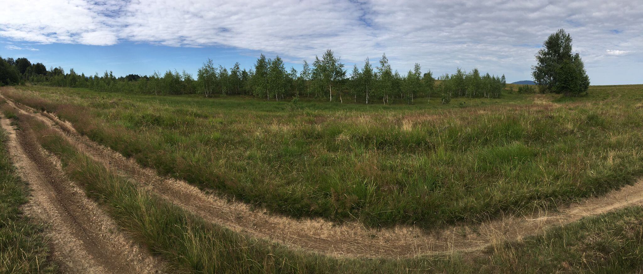
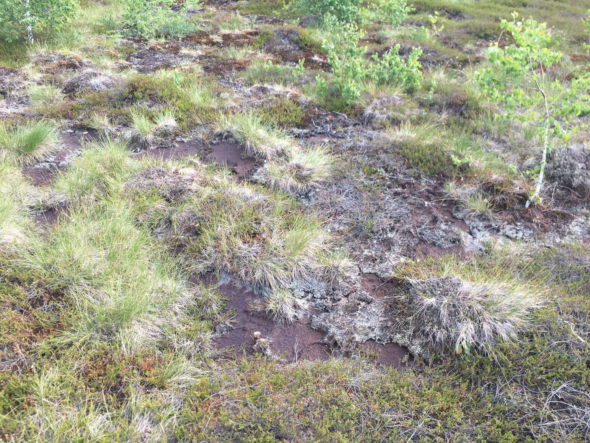
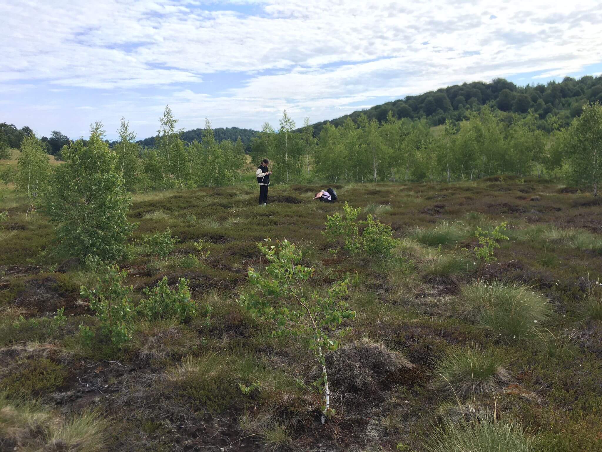
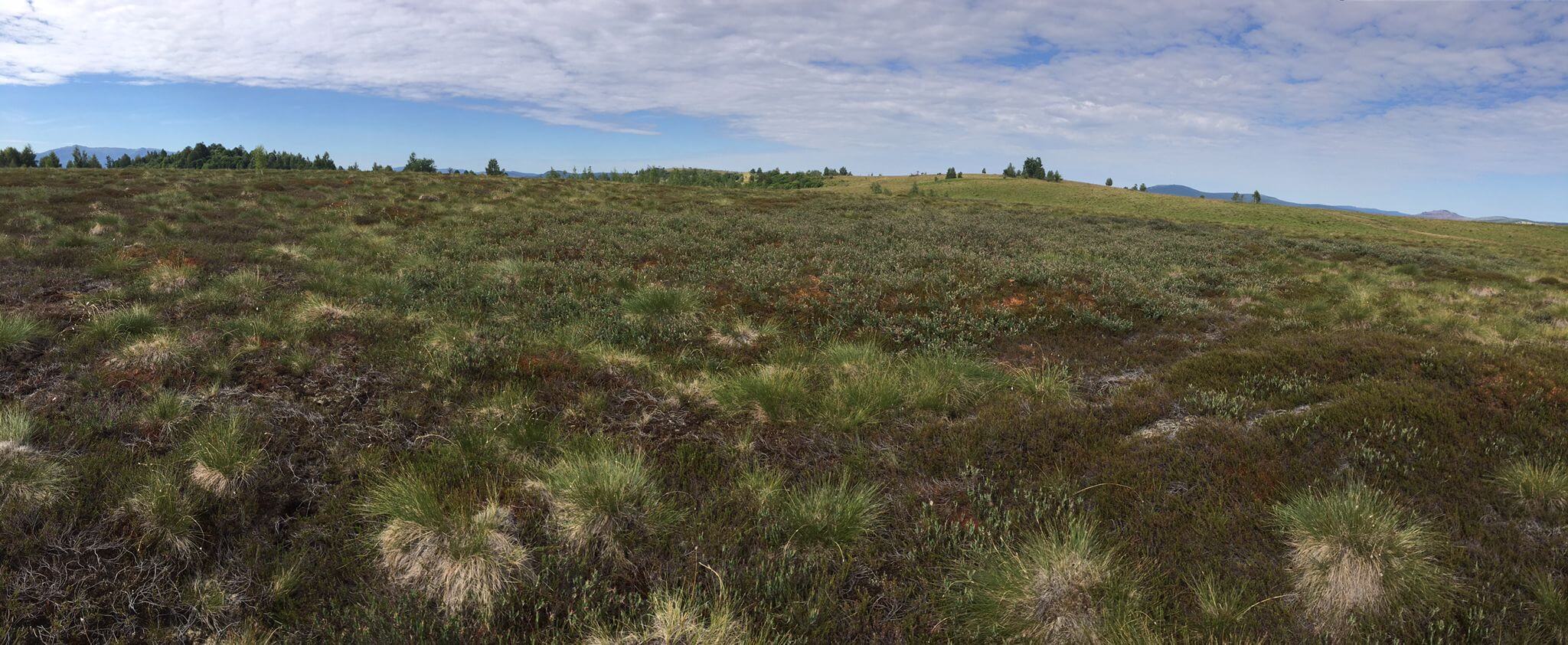
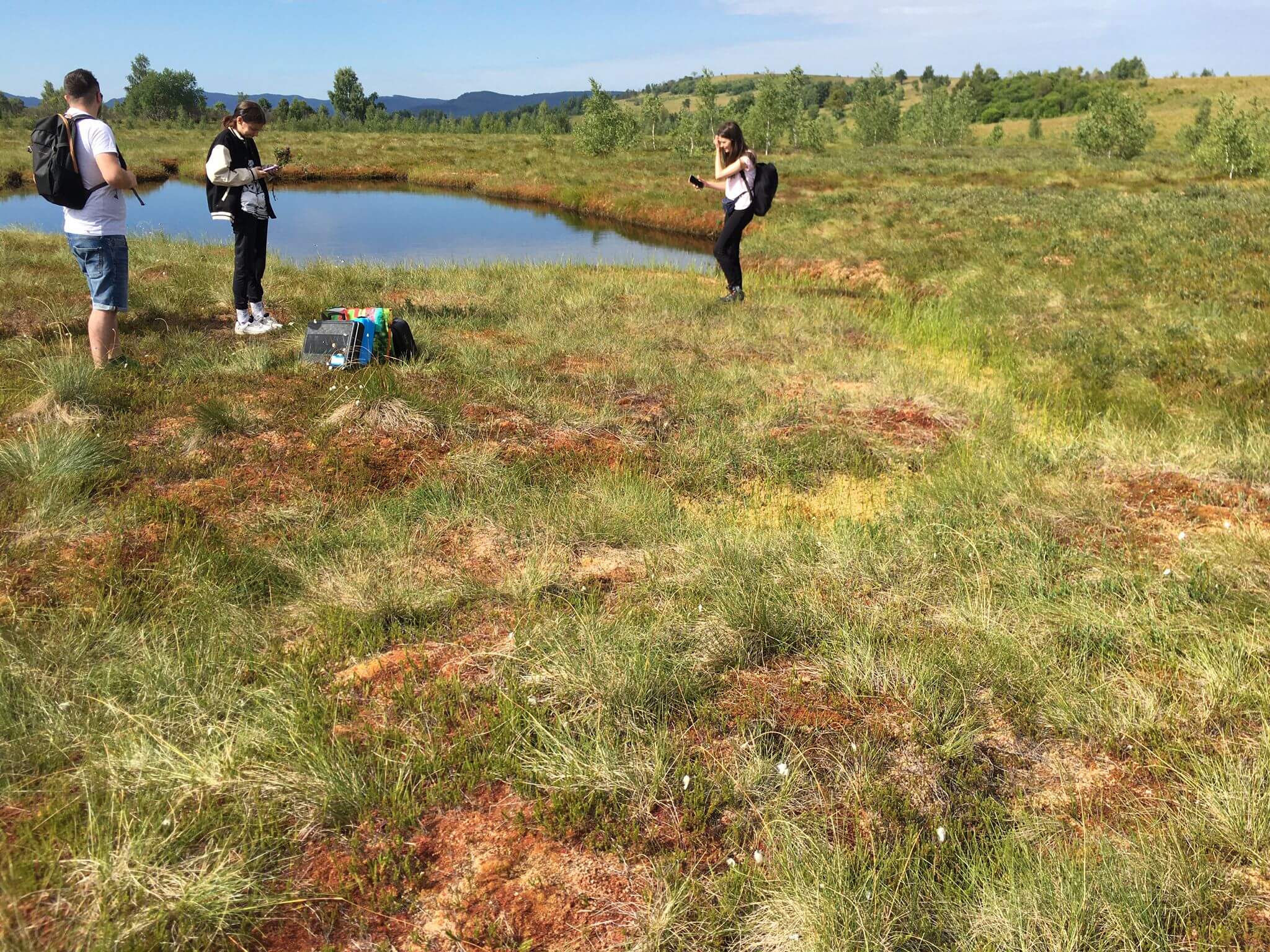
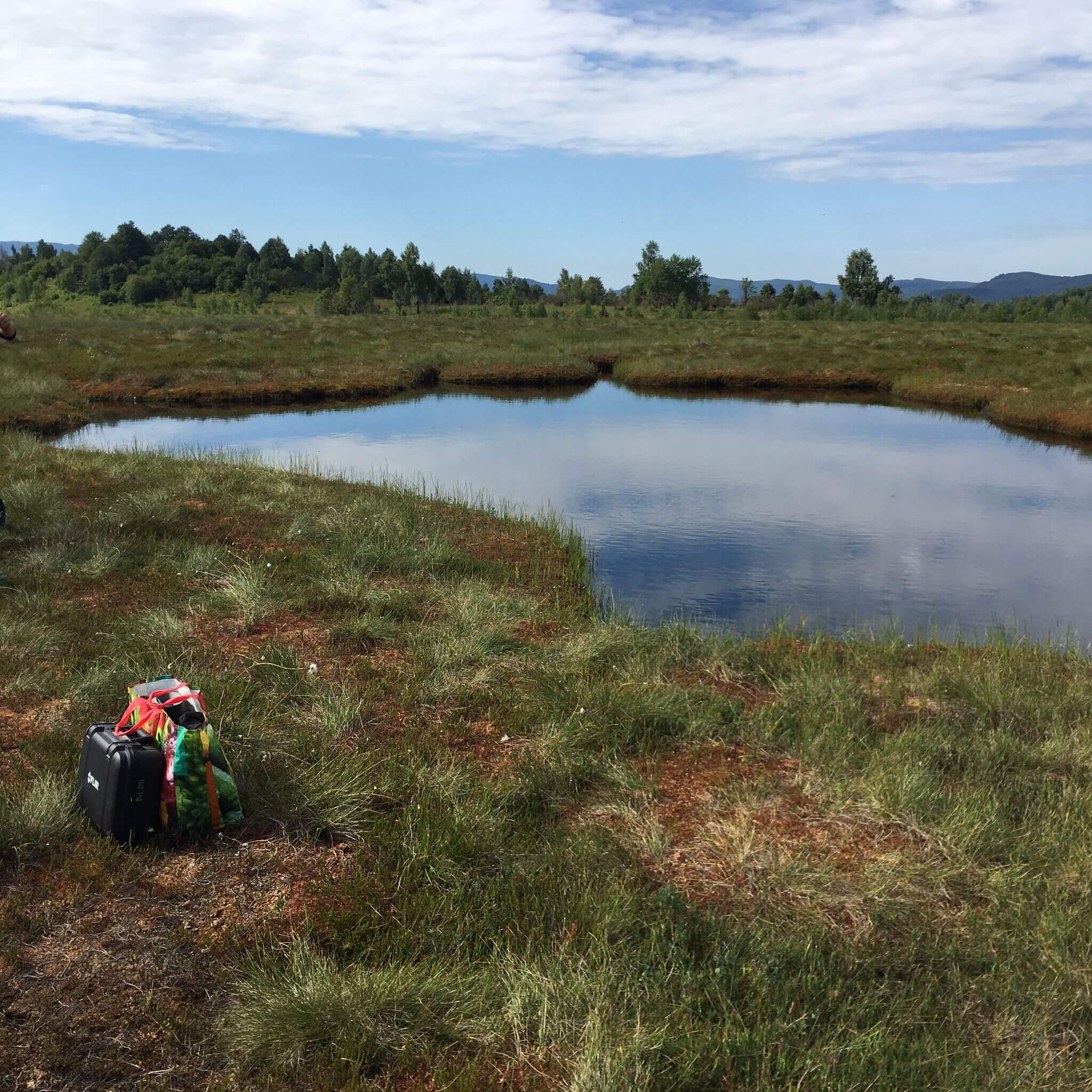
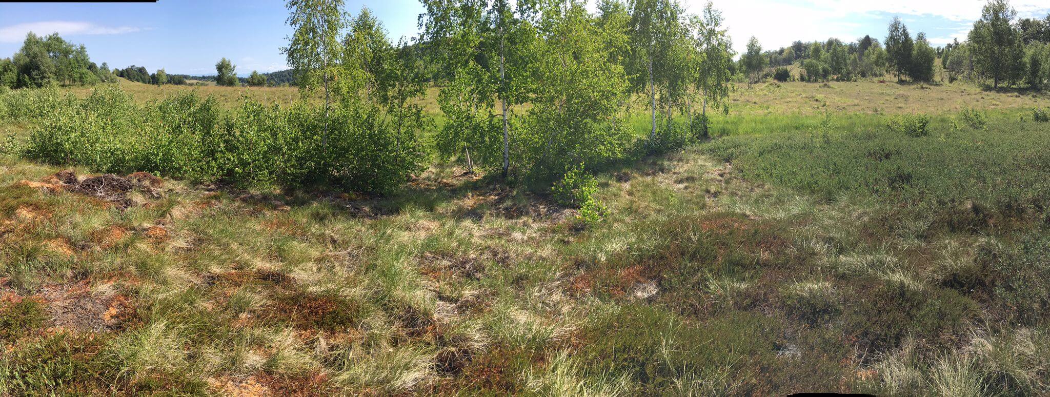
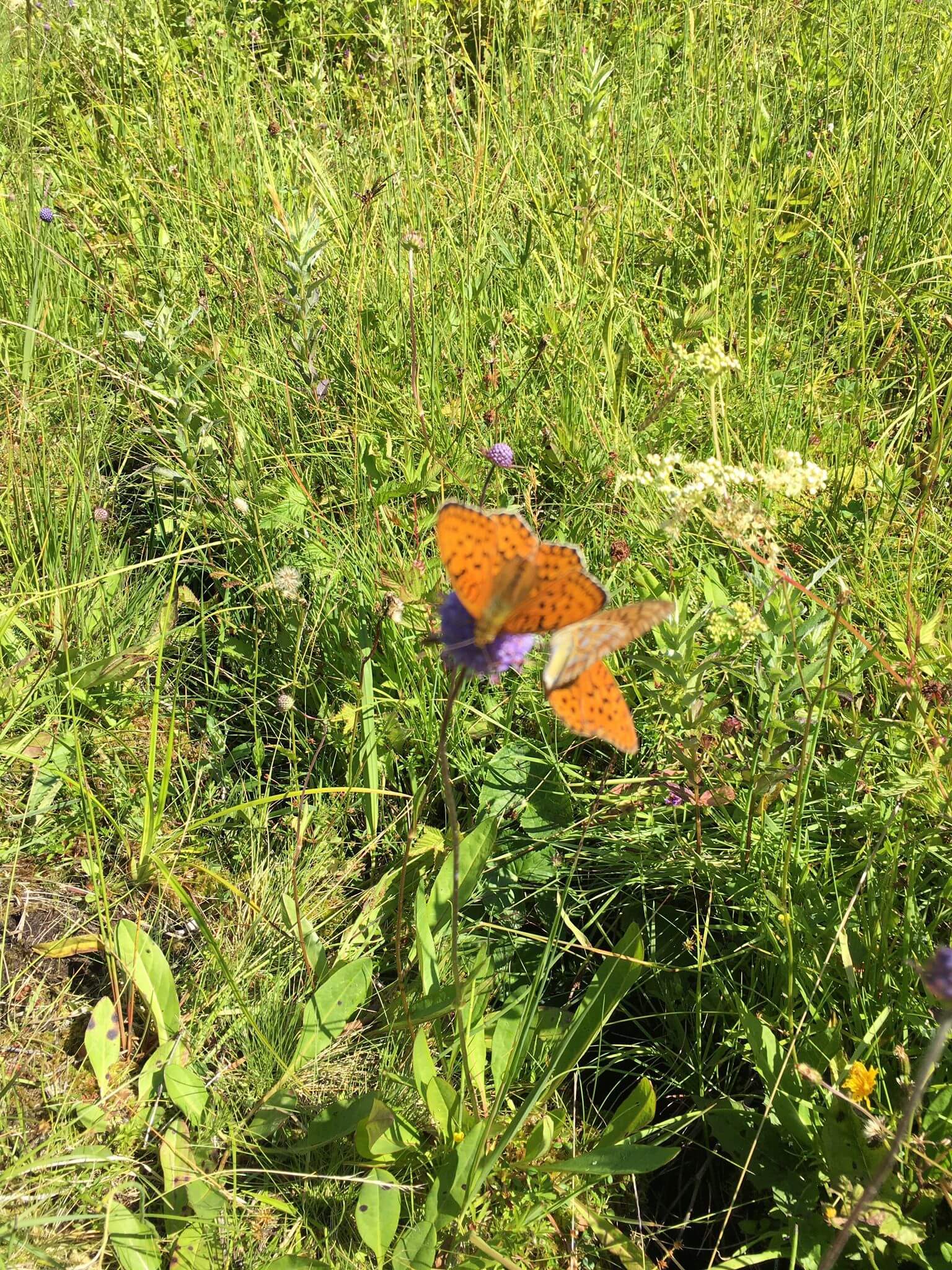
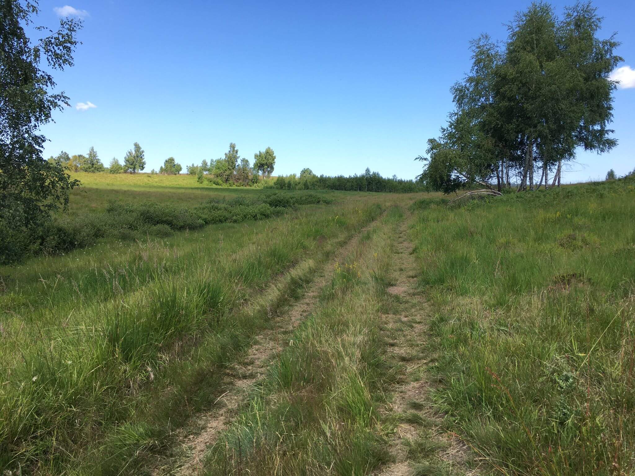
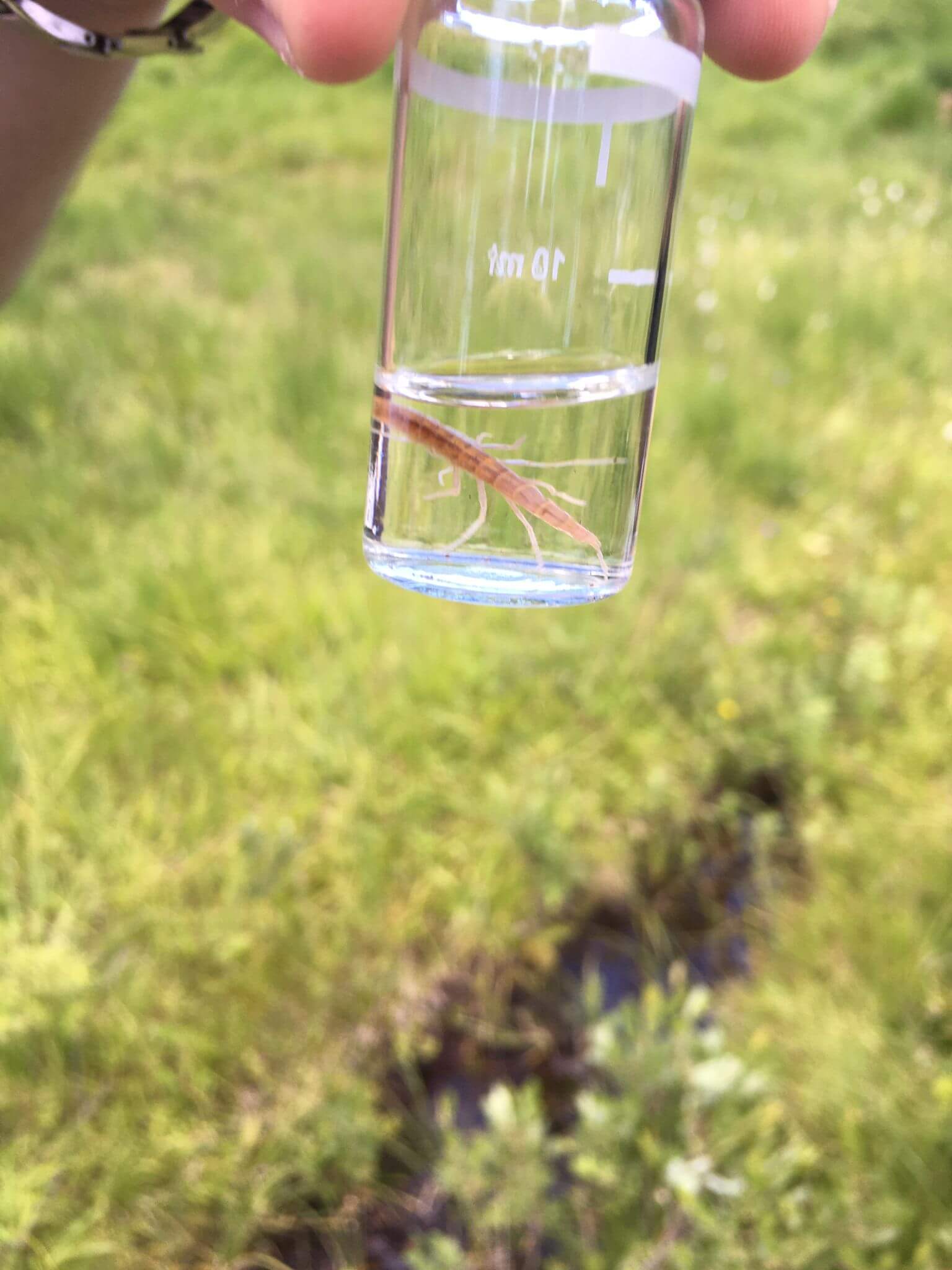
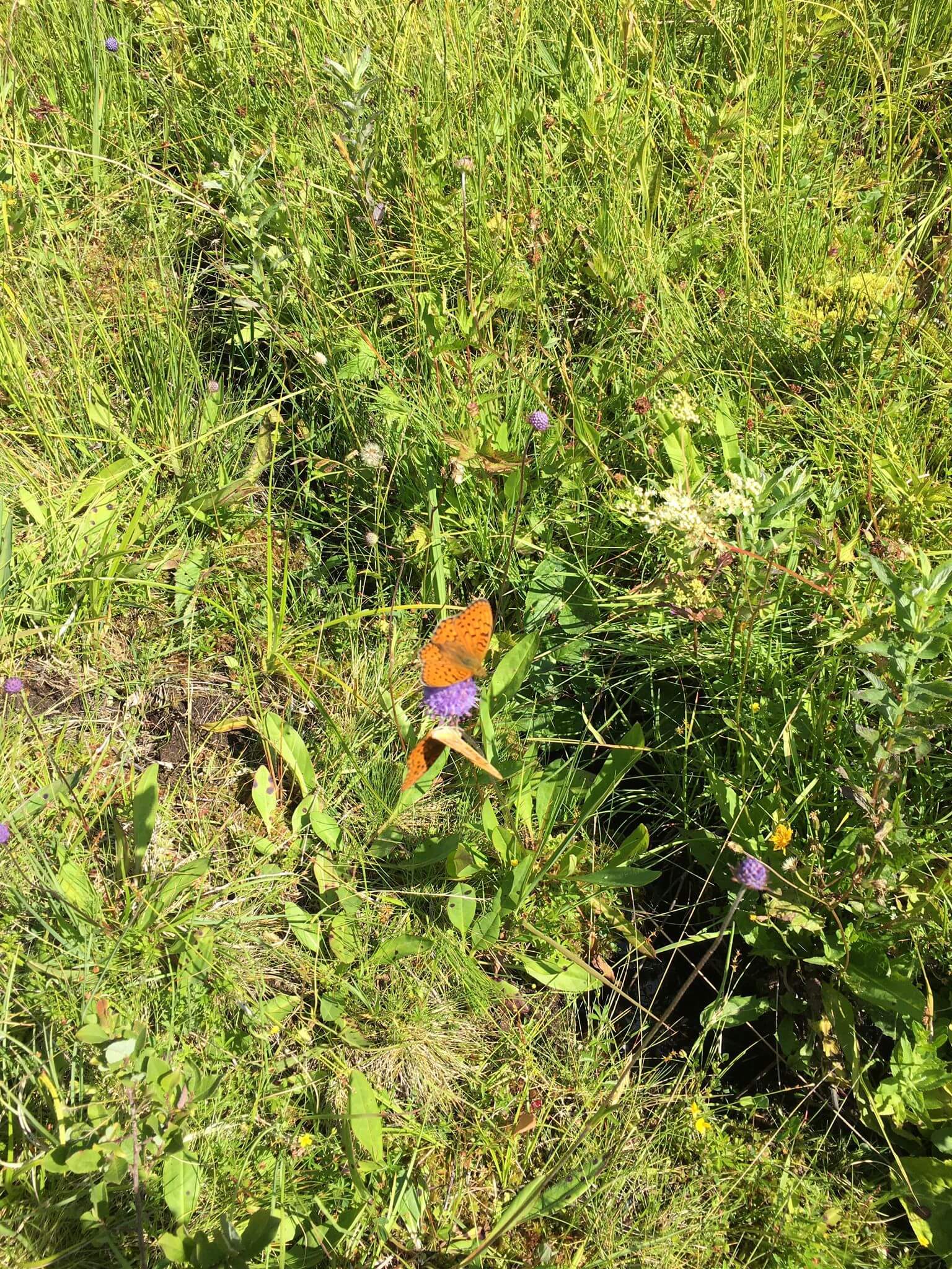
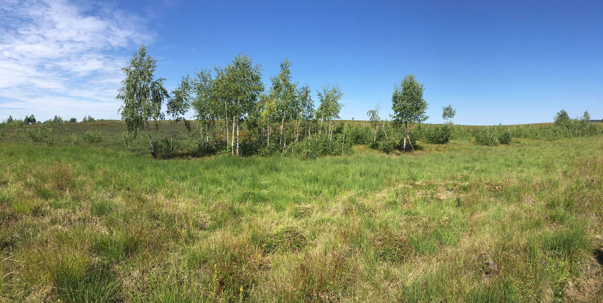
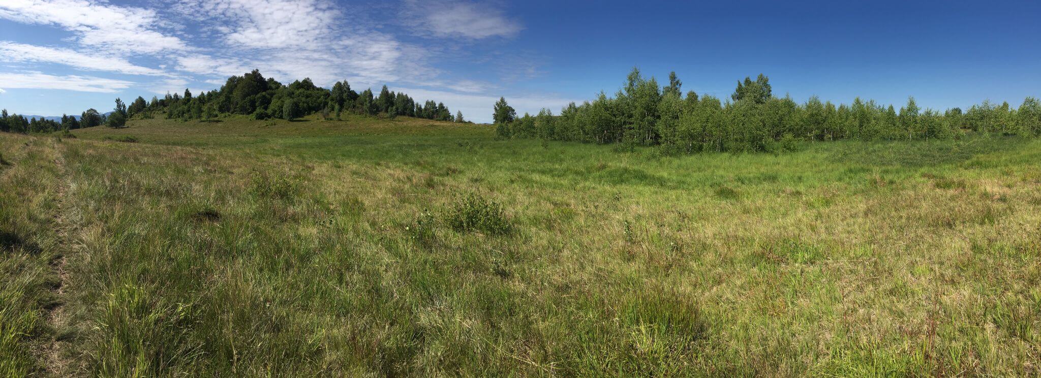
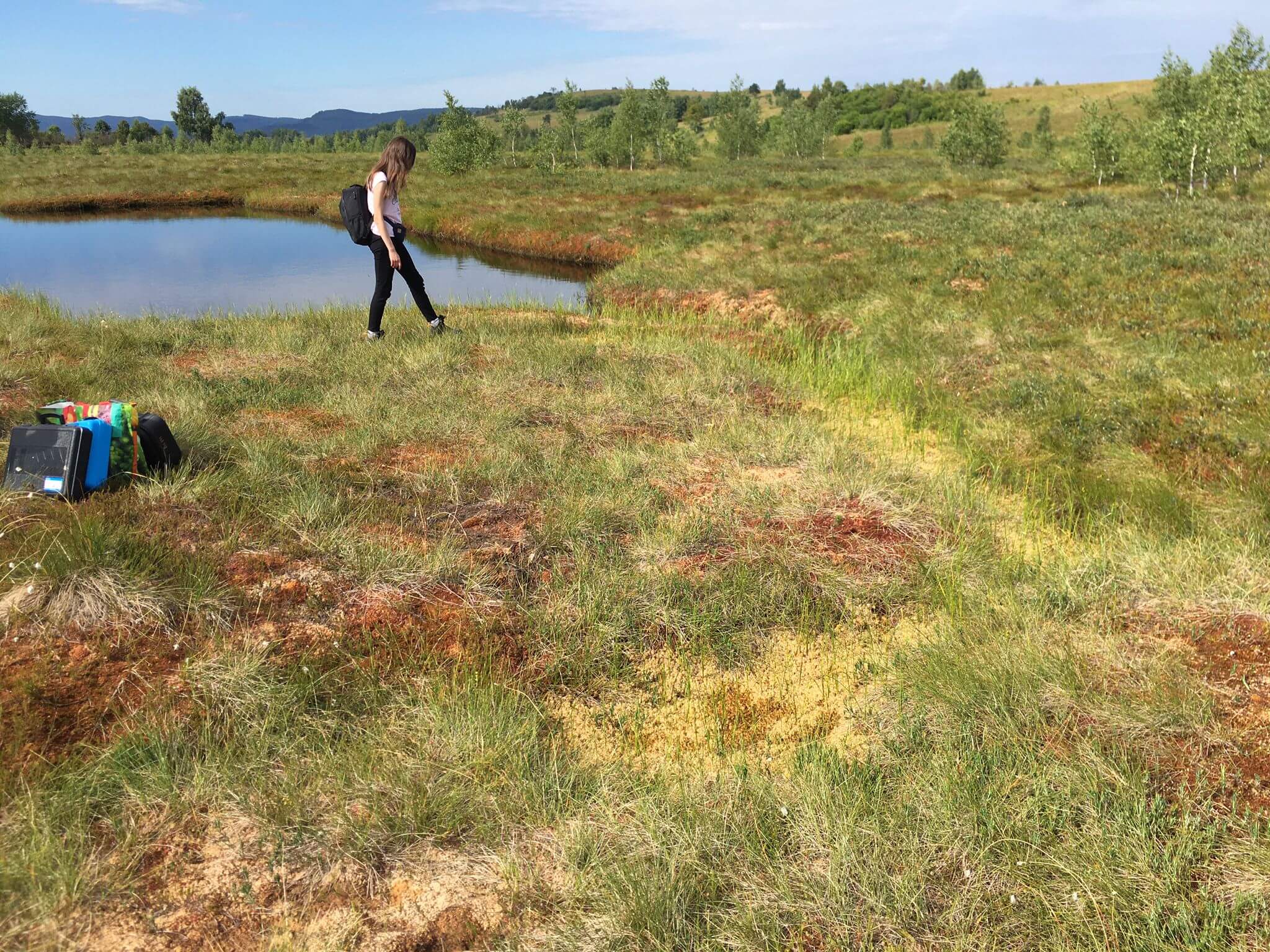
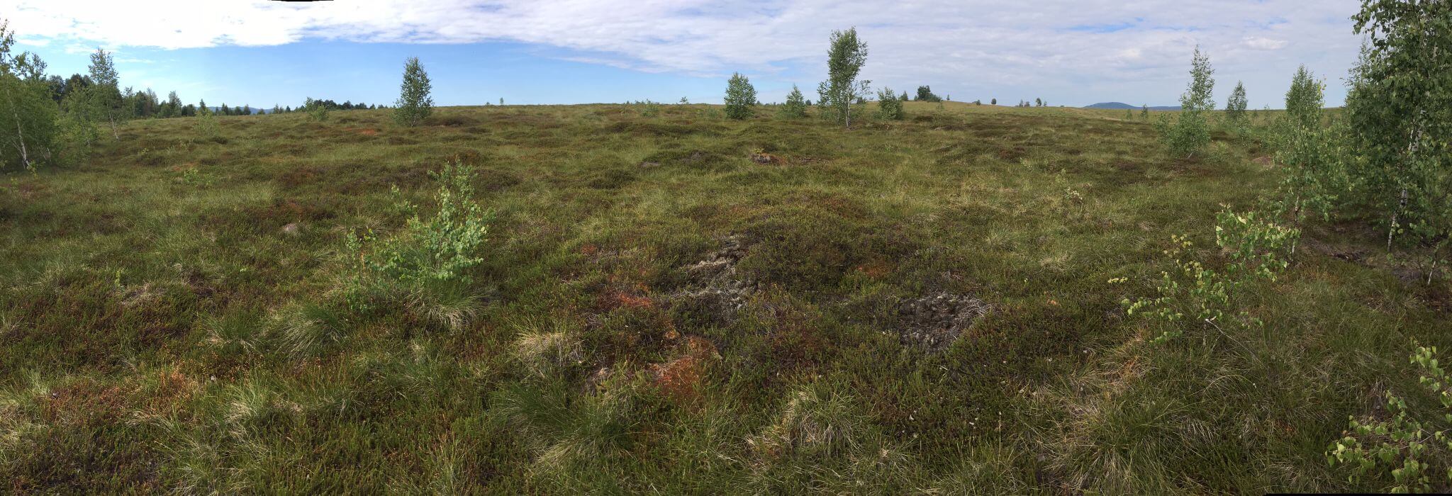
Another NWPEAT field trip was made in Tinovul Hărniceștilor. In the extremely dry period (also confirmed by the locals) in July, about 40% of the peatland’s surface (visually about 65%) was covered. The purpose of the field trip was to identify other water bodies, apart from the central one, and to capture a potentially high level of water under the Sphagnum moss cover etc., which could be evaluated from a physico-chemical point of view, but without any positive results. As a result, the physico-chemical measurements for the 13 parameters evaluated by the Hanna instruments were updated at two measurement points, at the surface and at the maximum immersion depth of the sensor (4 m), in the central water hole. The measurement of the same parameters was extended to the emissary stream of the peatland, at a distance of about 120 m from the exit, to which a simplified flow measurement was added, based on the evaluation of the speed with a few light floats. Also, multiple photos were taken of the peatland biodiversity, as well as the identified water surface. Two species of crustaceans, along with other biotic components, are present in the measurement mini-section. Video and photo materials were captured. In the end, a spatial and temporal visual estimation was made regarding a possible topometric precision survey of the maximum external buffer, which delimits the peatland.