Water assessments and UAS flights – Tinovul Ic Ponor
Status
Date: 21.07.2022
Location: Bihor – Tinovul Ic Ponor
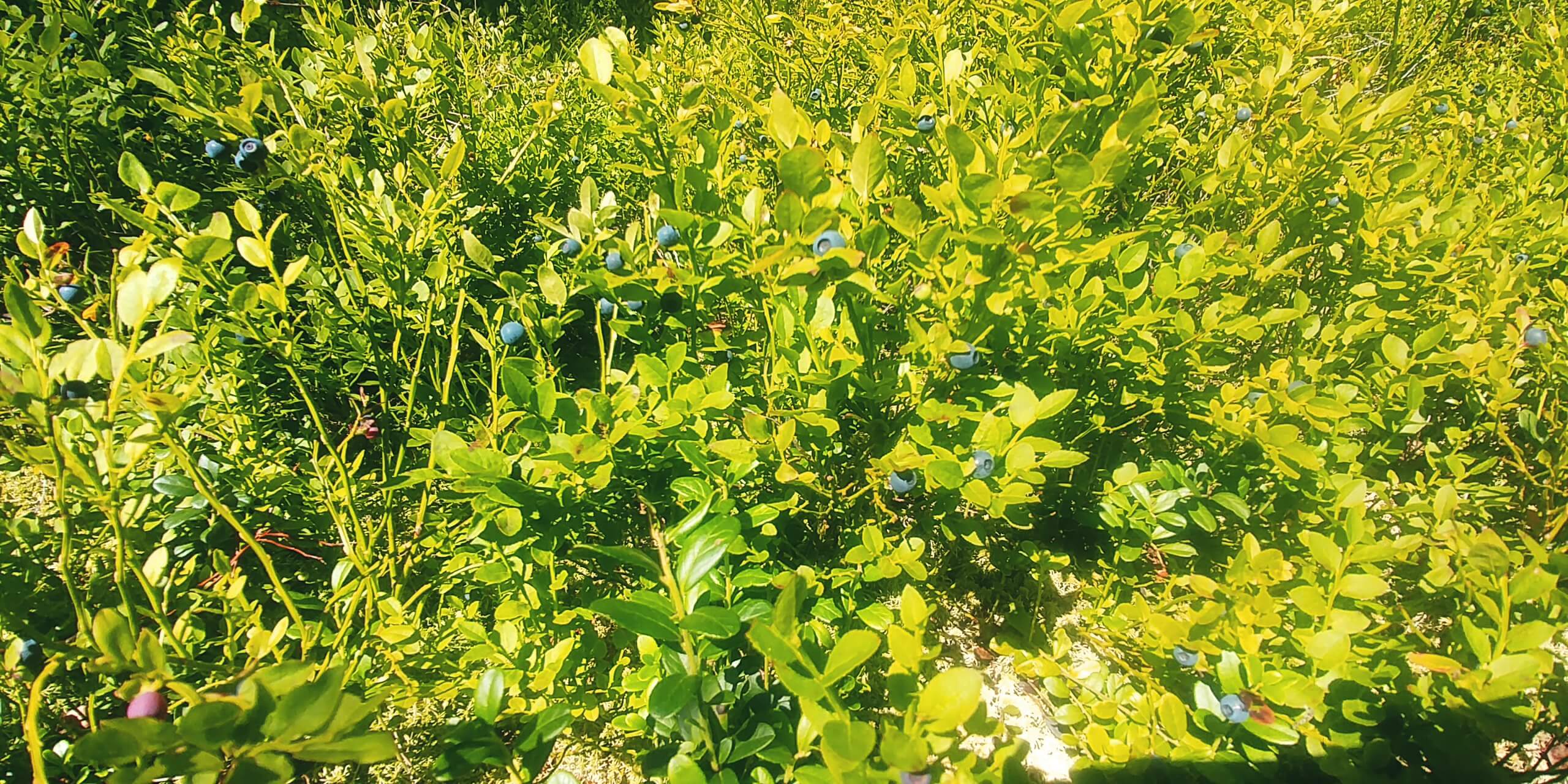
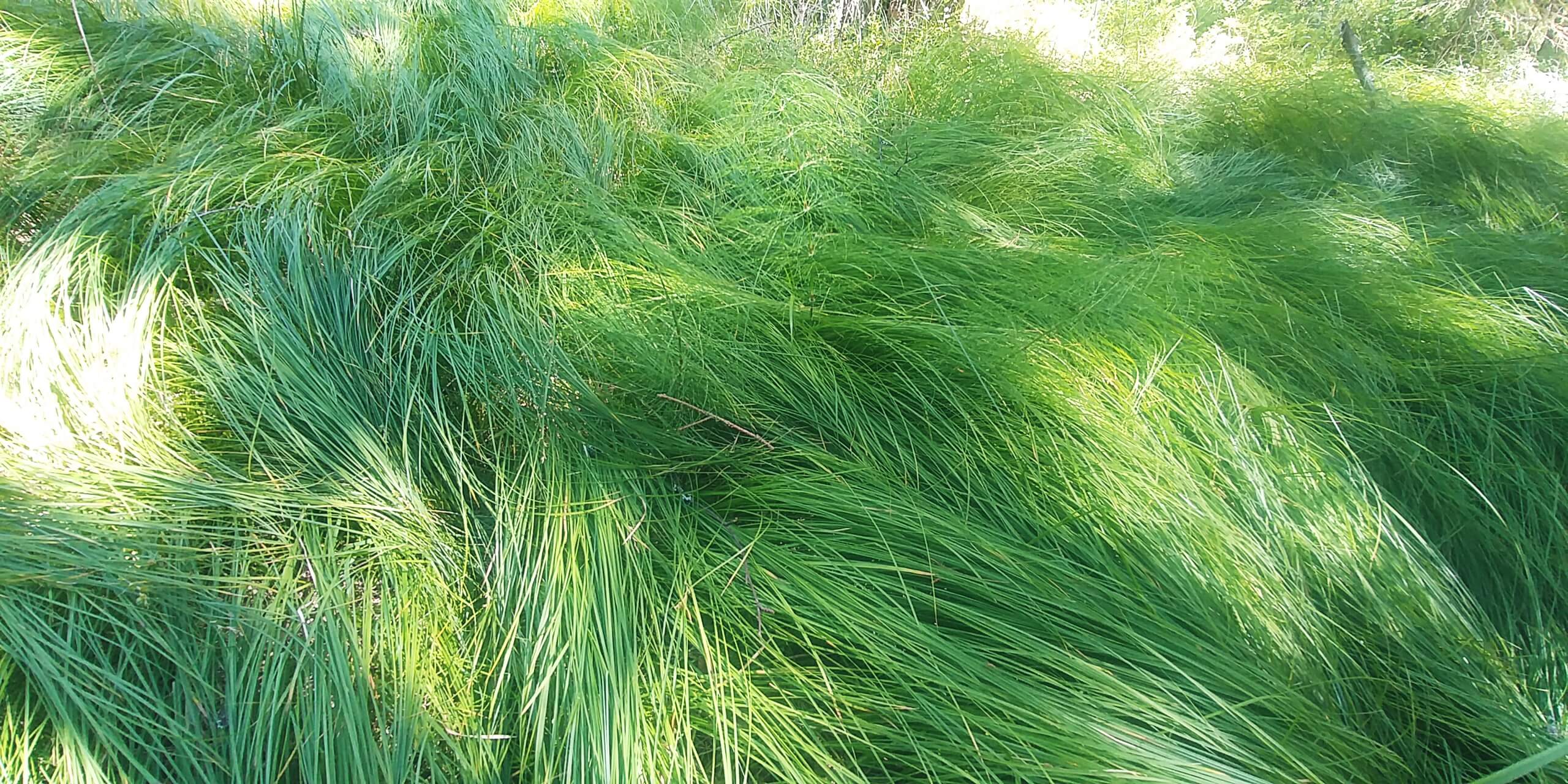
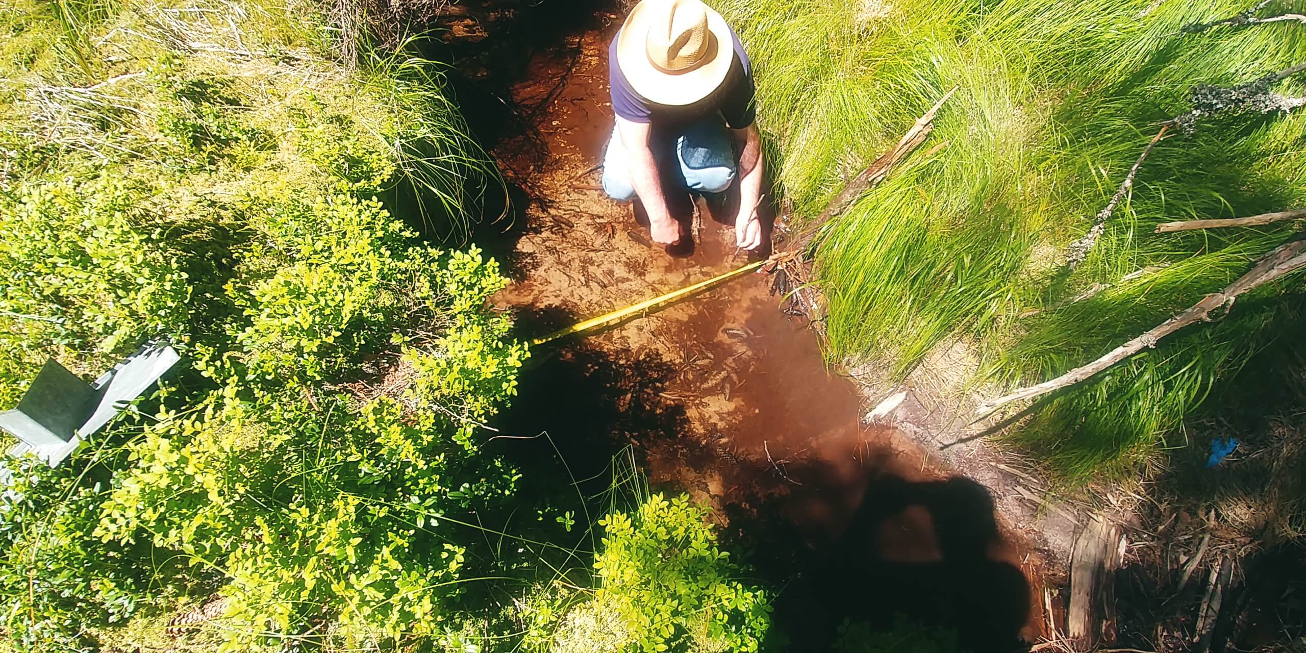
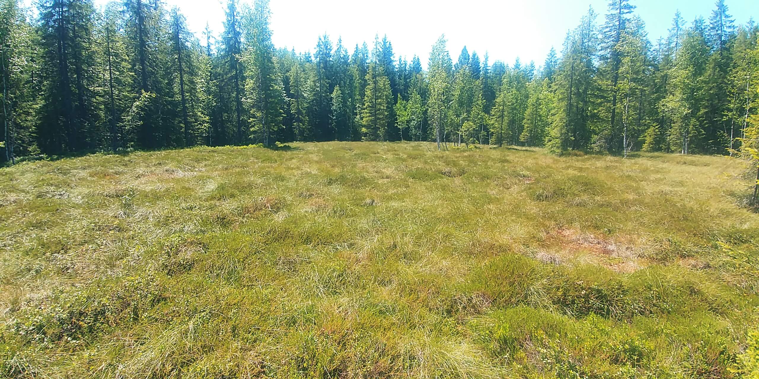
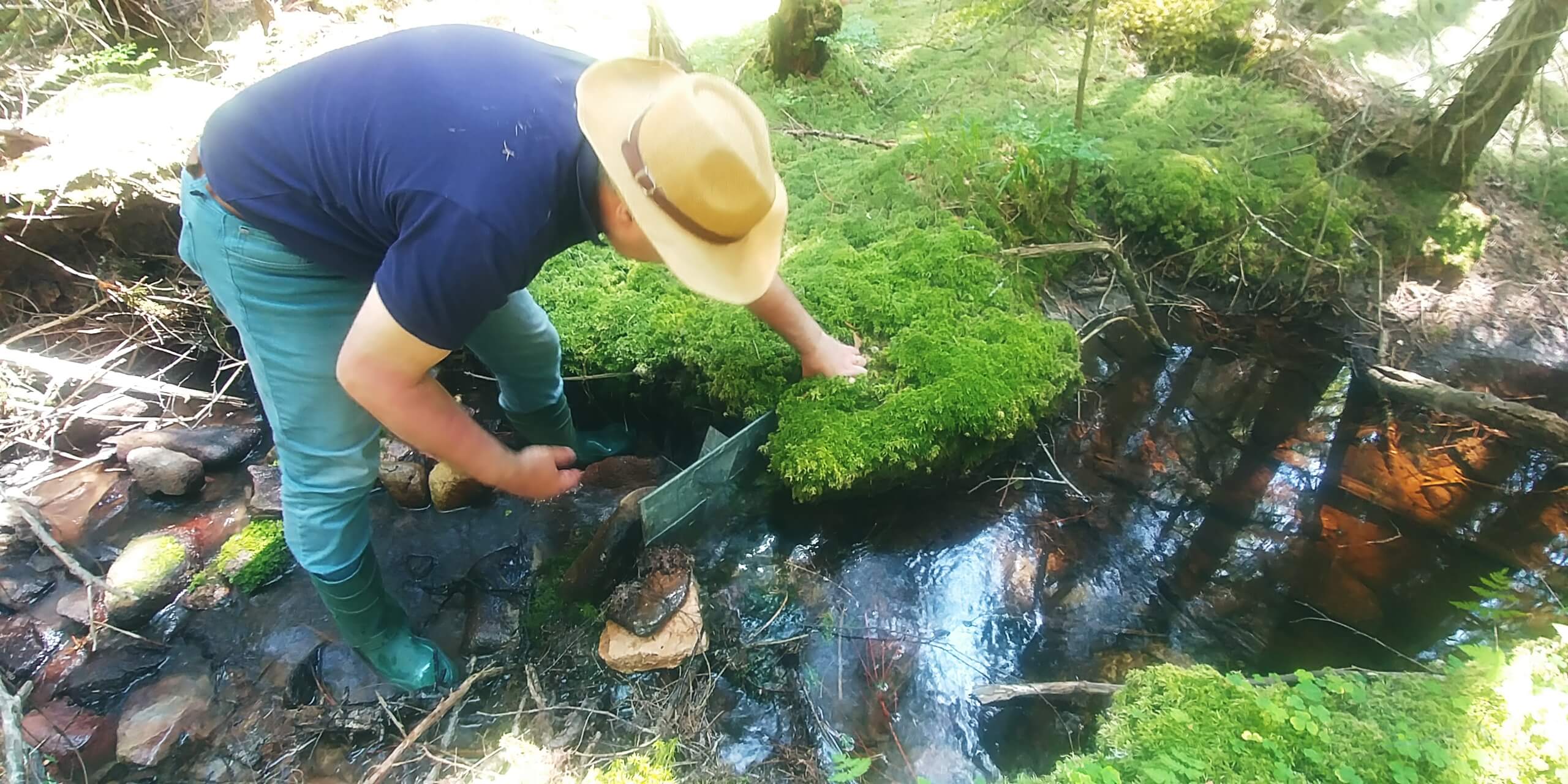
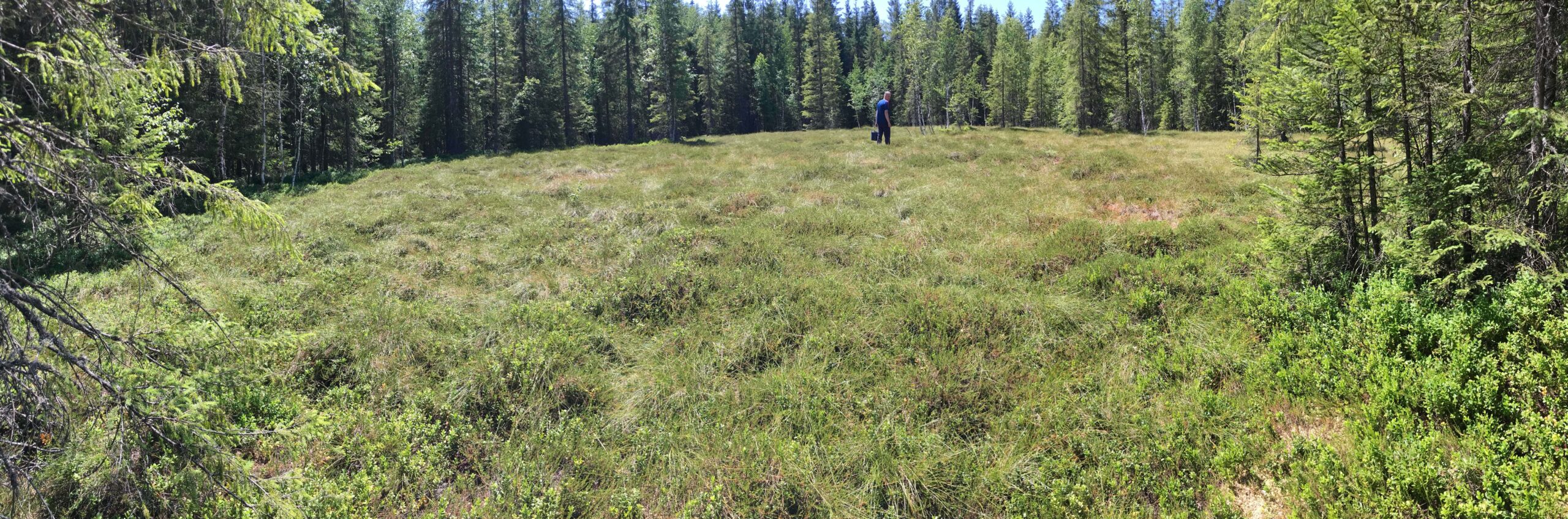
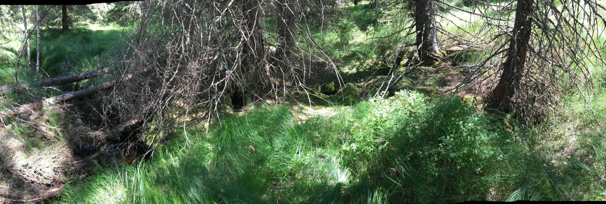
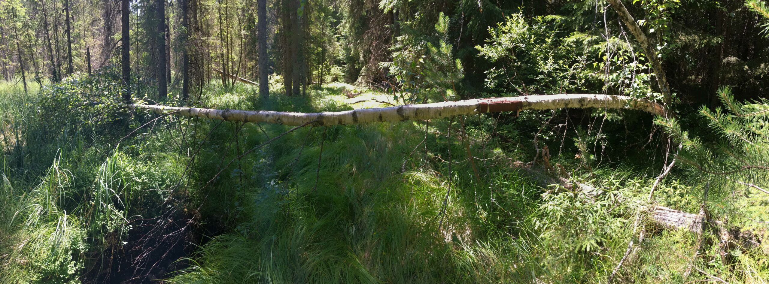
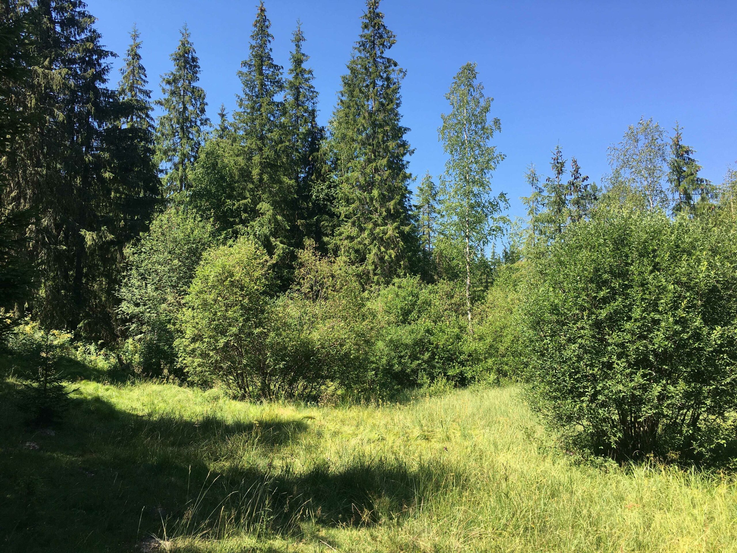
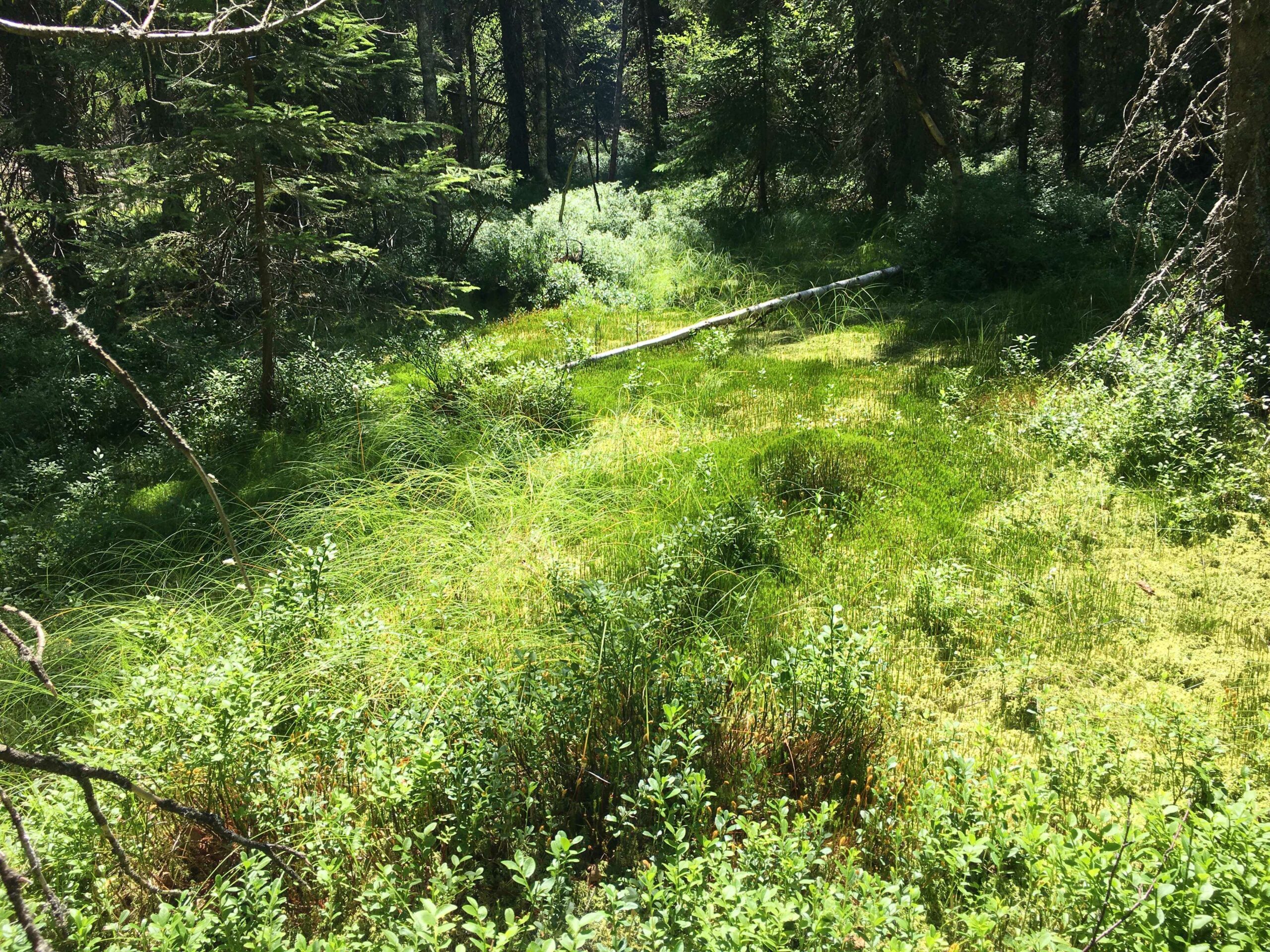
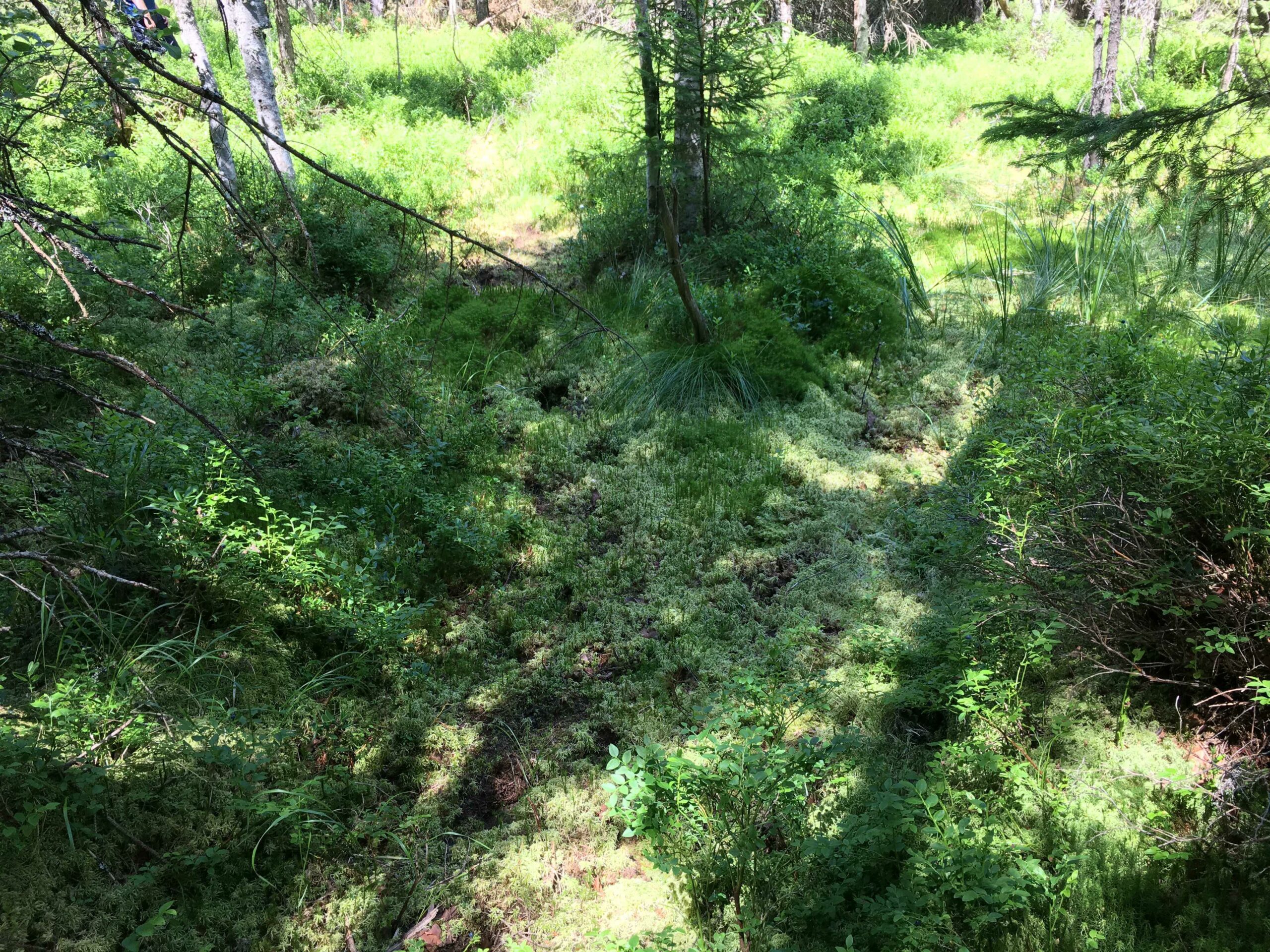
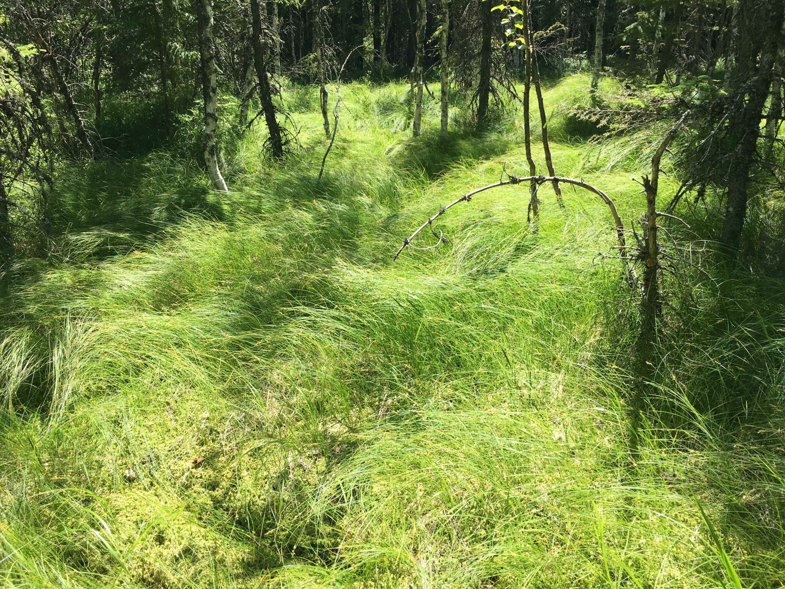
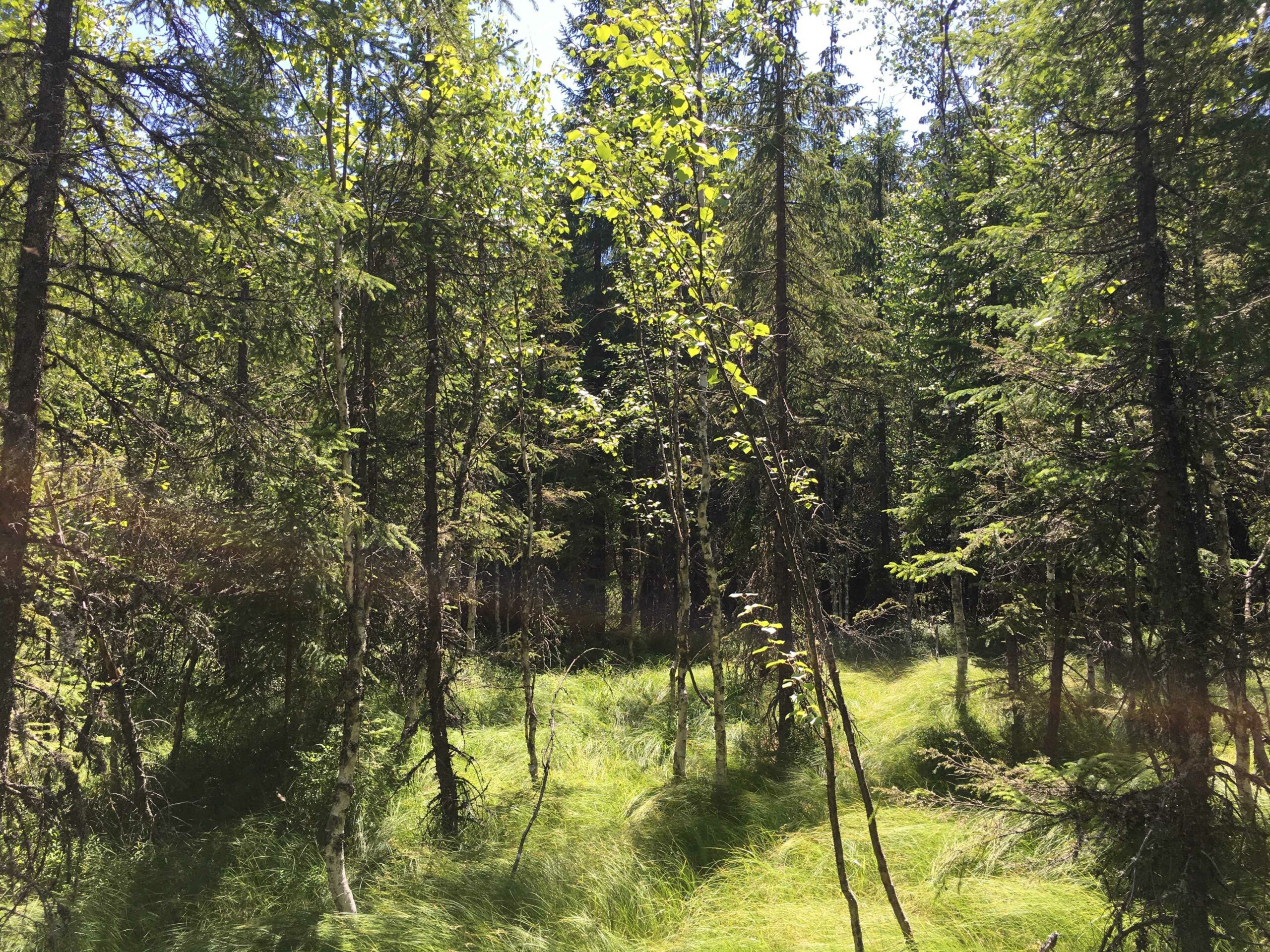
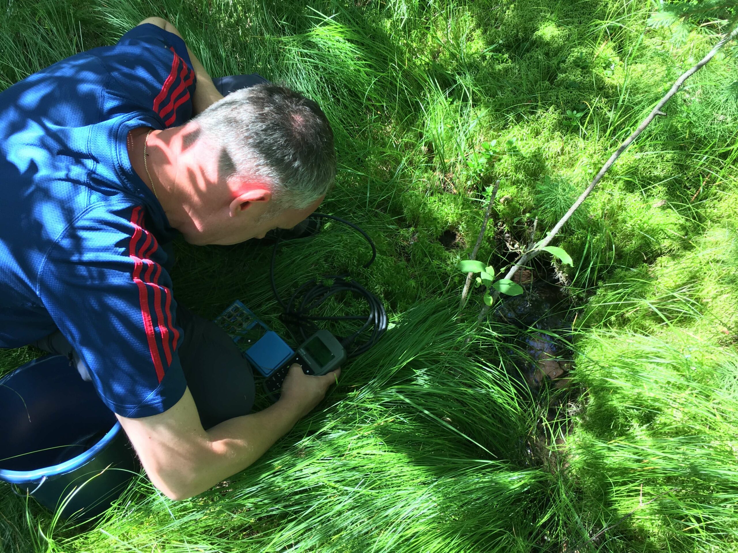
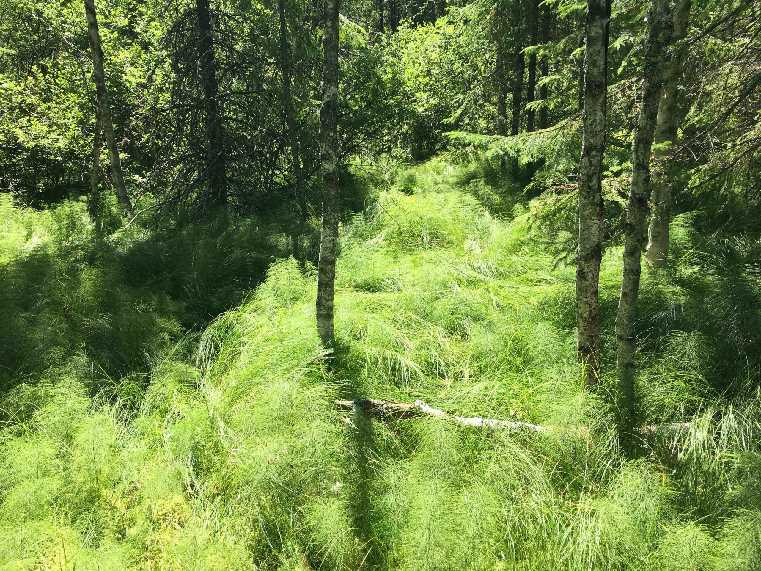
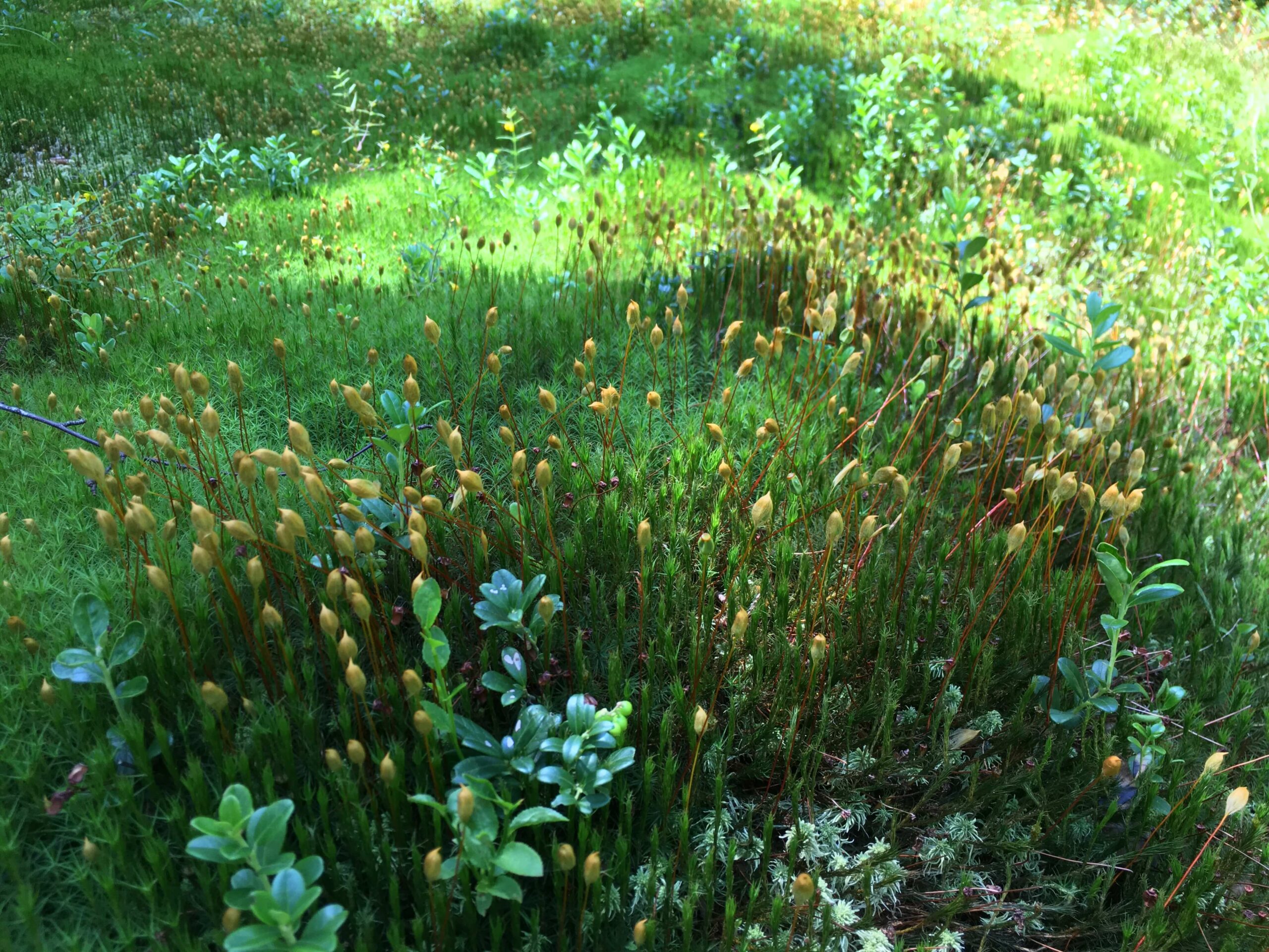
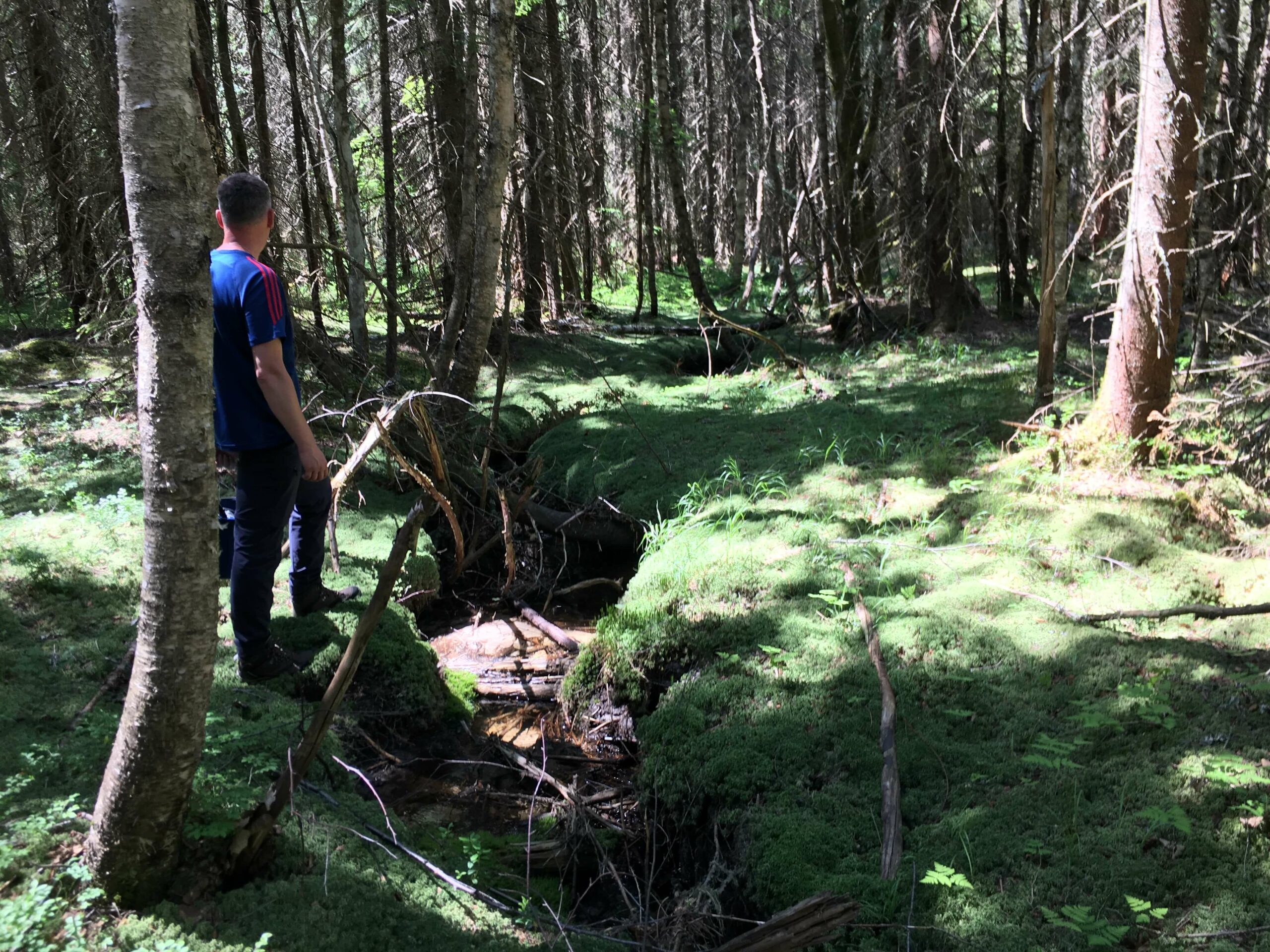
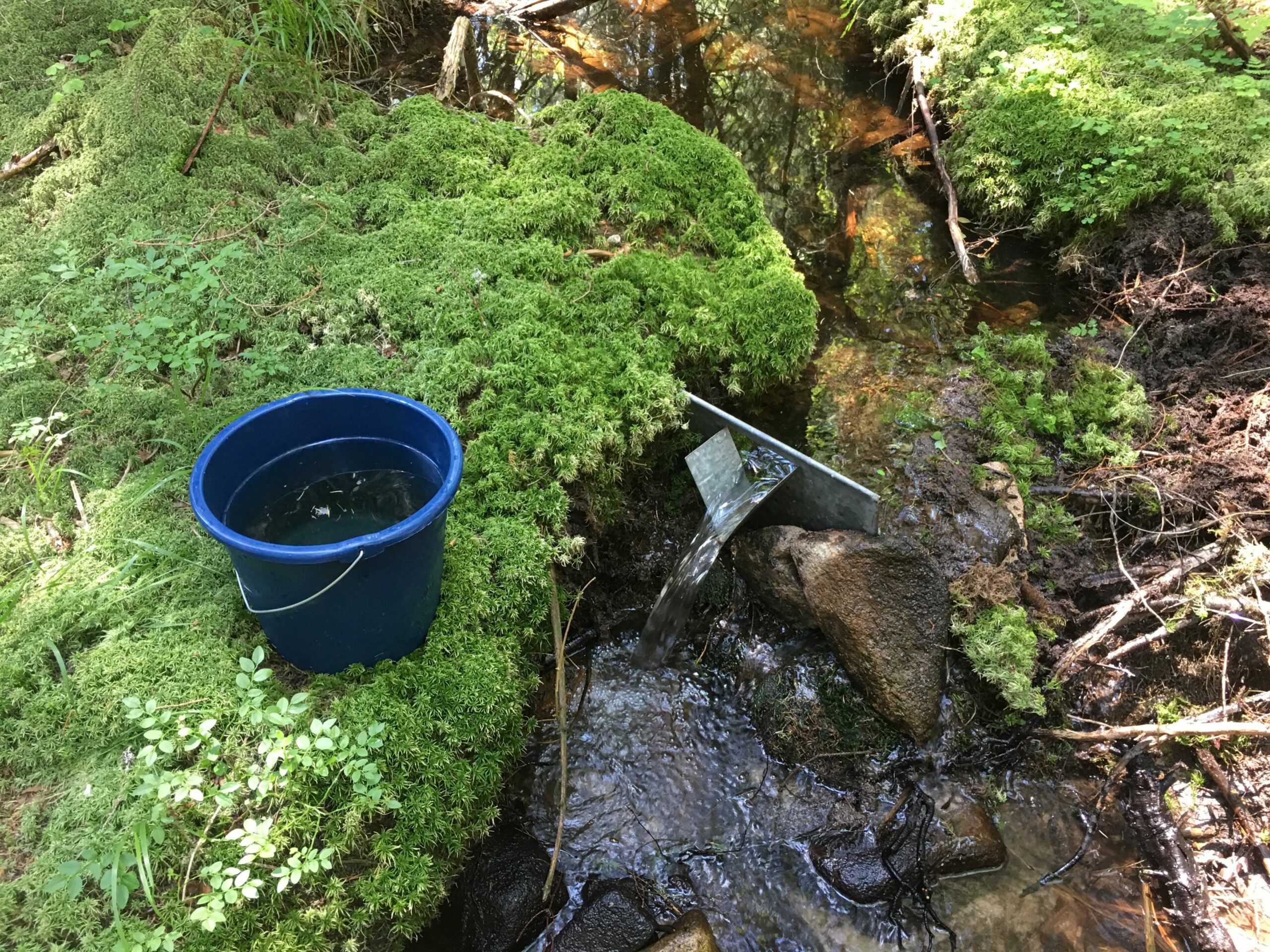
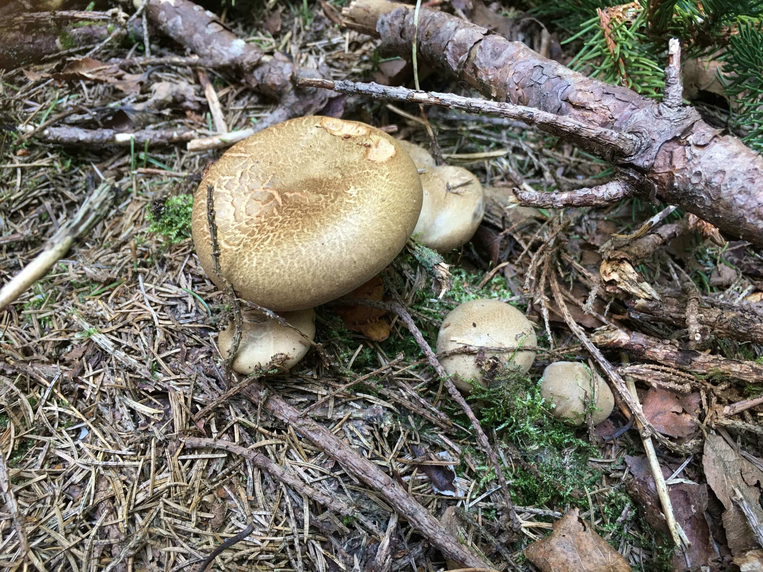
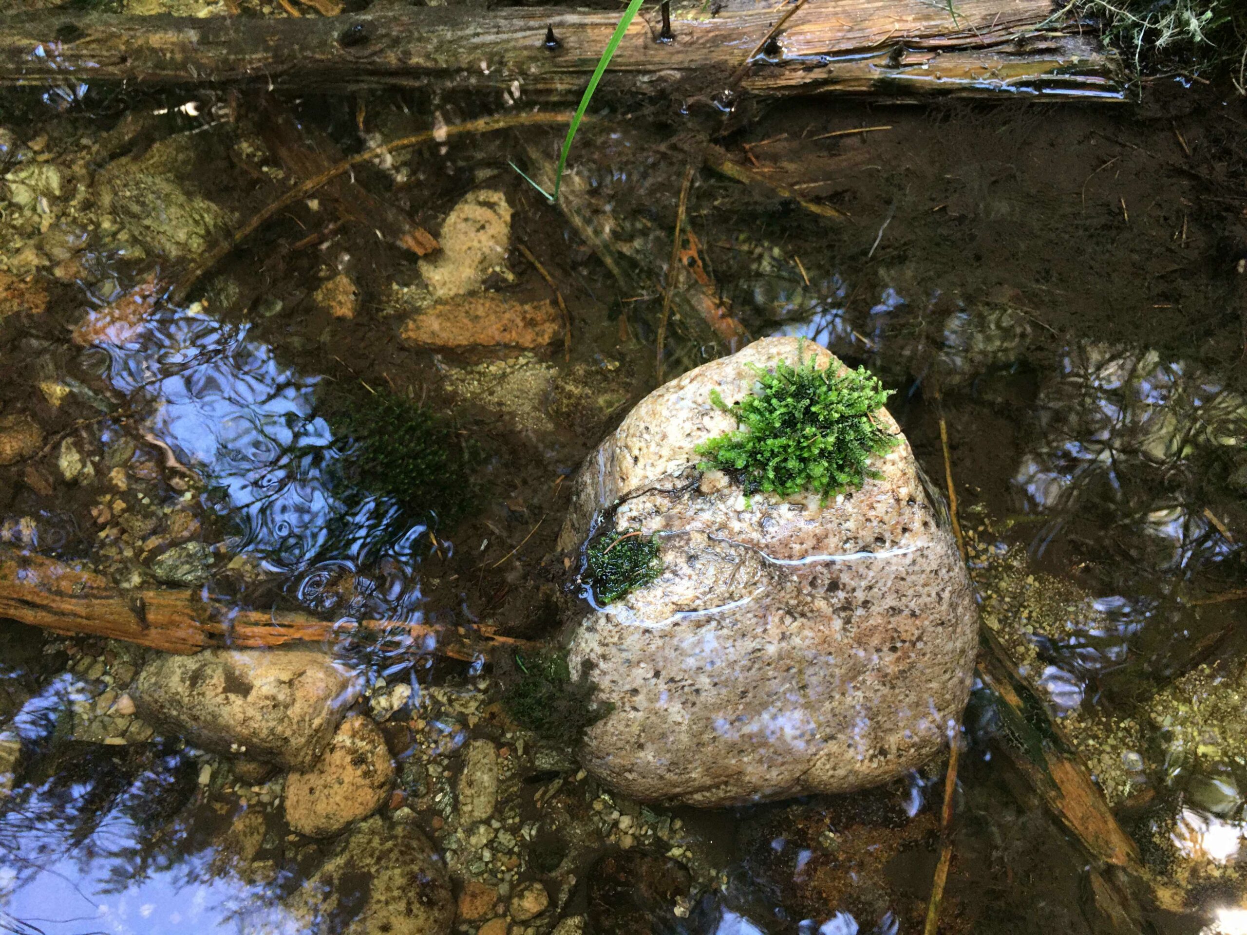
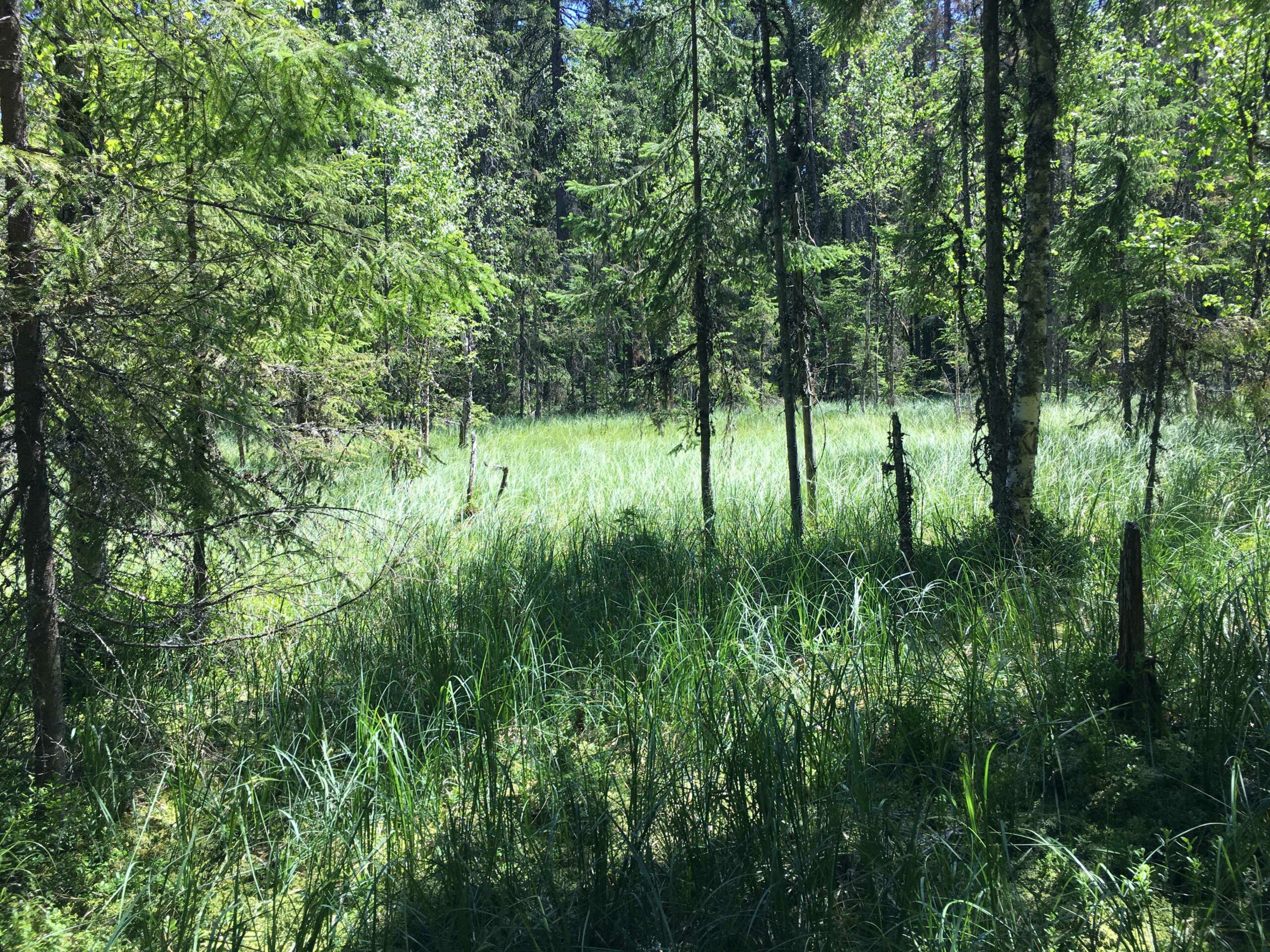
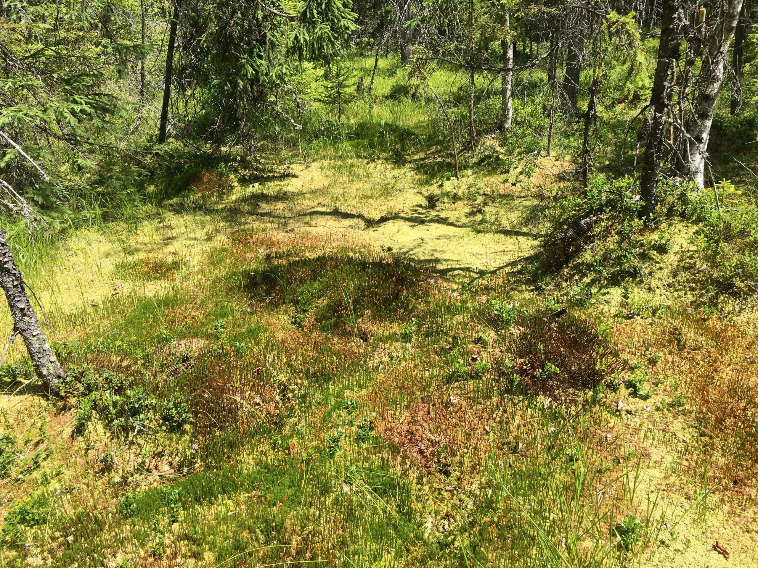
The succession of field trips continued in July with Tinovul Ic Ponor. As in the case of La Poduri peatland, information on primary water data on water quality and hydrographic network configuration has been updated. Assessments were made on the spot on liquid flows, noting a significant decrease compared to the previous field campaign, conducted on May 24, 2022. The team members carried out sampling and in-situ assessments of the surface water quality, using specific field equipment. The activity was also documented photographically, including details on local plant species. Based on the existing equipment, several parallel overflights were made, in bands, with the help of the drone. A DEM and a high-resolution ortho-map associated with Tinovul Ic Ponor were achieved.